
SHIGEKI ENGLISH STORYEN
Japanese history in English
Hakata Bay in 1274: Tidal Flats, Hills and a Coast Before the Stone Wall
Where did the defenders meet the army arriving by sea? Follow Torikai’s waterside, the camp at Sohara and the paths traveled by warriors before the later stone defenses.
Read the Bun’ei invasion of 1274 through Hakata Bay’s terrain and the Mongol Invasion Scrolls: earlier guards, the Momochi landing, Torikai’s tidal flats and Sohara’s hill, followed by construction in 1276 and renewed invasion in 1281.
At a glance
Before you enter the story
- When
- Before and during the invasion of 1274; stone defenses built in 1276; the second invasion of 1281; later excavation, including 1968–1971.
- Where
- Tsushima and Iki as earlier stages; Hakata Bay’s Momochi coast, Akasaka, Torikai and Sohara; the scroll route from Hakozaki; the later defenses from Imazu toward Kashii.
- Key figures
- Takezaki Suenaga
- What was at stake
- How terrain, organized defense and the source’s viewpoint shape the first battlefield, and why a later wall should not be inserted into the coast of 1274.
Why this story matters
The larger history behind the turning point
A surviving monument can draw different periods into one familiar image. Separating the first invasion, later construction and renewed attack restores the work done between them. Reading the tidal flats and hills alongside the scrolls also brings travel, local relationships and the people preparing the shore into view.
Historical context
What an international reader needs to know
Three dates for one changing coast
Bun’ei and Kōan are era names attached here to the invasions of 1274 and 1281. Construction in 1276 lies between them. The earlier coast lacked the later stone defensive line, while defensive orders and people preparing to guard it already existed. Absence of the wall does not mean absence of defense.
Hakata Bay is the local battlefield setting in northern Kyushu. Tsushima and Iki belong to earlier stages of the expedition. Momochi, Torikai, Sohara and Hakozaki describe different parts of the regional account. Present-day parks, roads and reclaimed coastlines are not interchangeable with their medieval settings.
A particular warrior’s record and later material remains
Takezaki Suenaga is the single named person followed in this article. The scrolls preserve his service and relationships from a particular perspective. They are not a complete deployment map of both armies, and commissioning the work does not mean he personally painted every scene. Later copies and alterations also matter to the surviving arrangement.
The evidence includes modern explanations of pictures, collection records, land documents and archaeological remains. A reproduction record is not the original object, and an excavated or restored wall is not untouched survival along its whole original length. The historical month-and-day reference for Suenaga’s entry into his holding stays in the contemporary Japanese calendar.
Watch the film
See the story in motion
The film currently uses Japanese audio. This English article provides the context and source trail; it does not imply that an English subtitle track is available.
Chapter 01
The Coast Before the Stone Wall
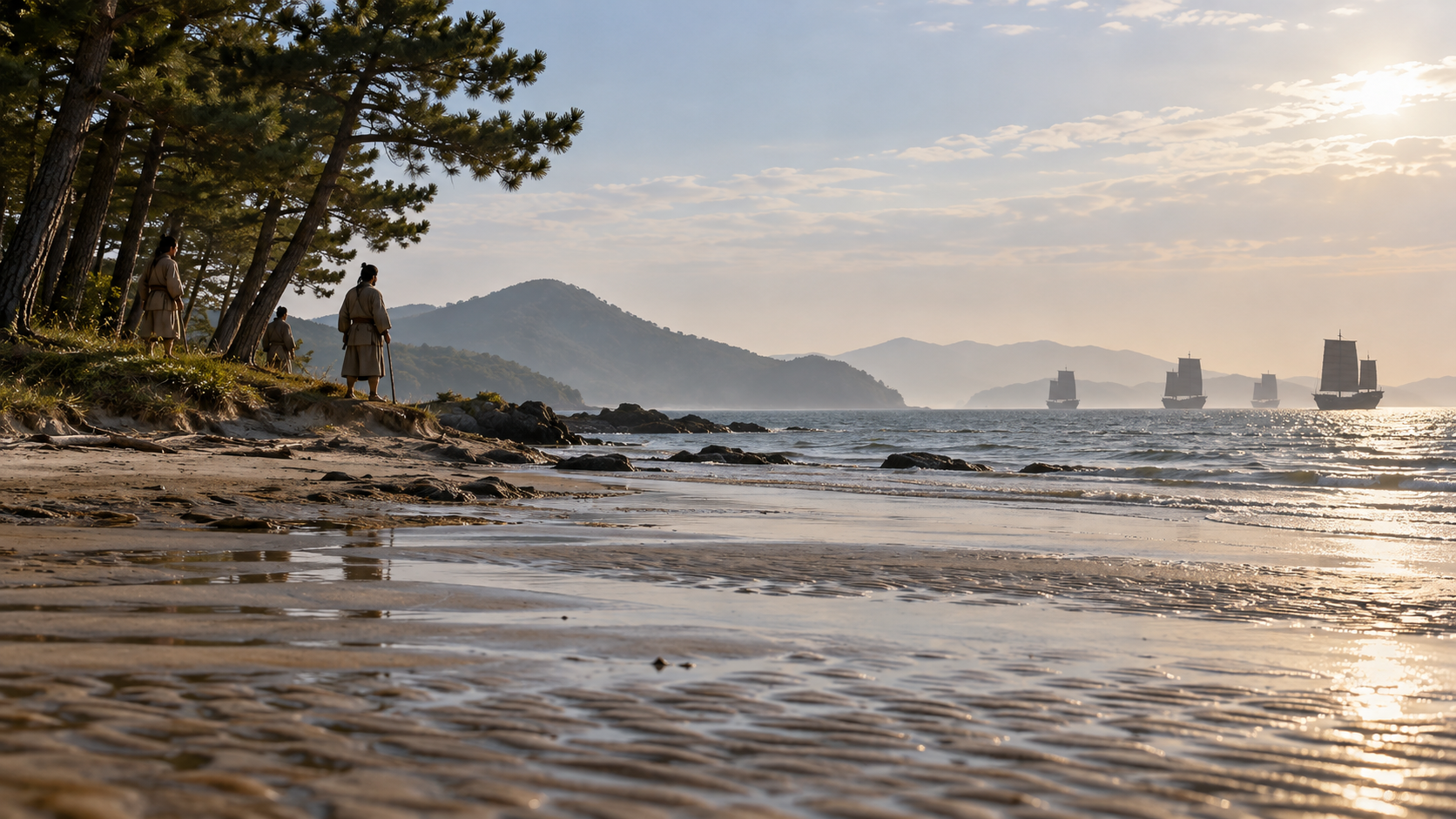
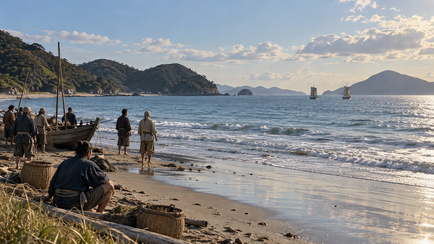
The surviving stone defenses around Hakata Bay can make it easy to imagine a long wall confronting the army arriving by sea. In Bun’ei 11, or 1274, however, that defensive line had not yet been built. The first invasion reached a coast whose setting must be considered separately from the later wall.
The people on that coast faced beaches, watersides and paths leading inland. Looking for the extent of a landscape now obscured by the modern city brings several place names into view: Akasaka, Torikai and Sohara. They offer points of reference for reading the fighting across a setting wider than a single strip of sand.
A major source is the Mōko Shūrai Ekotoba, the Mongol Invasion Scrolls. Its images include warriors traveling toward the battlefield and water spreading beneath horses’ feet, as well as the army that crossed the sea. The coastal story begins by considering the places represented in those pictures.
Stone defenses were constructed in 1276, and another invasion came in 1281. Keeping that sequence clear separates the fighting of 1274 from the preparations made afterward. Each stage had a landscape and a defensive setting of its own, rather than sharing one unchanging image of the bay.
Chapter 02
Defensive Preparations Began Before the Invasion
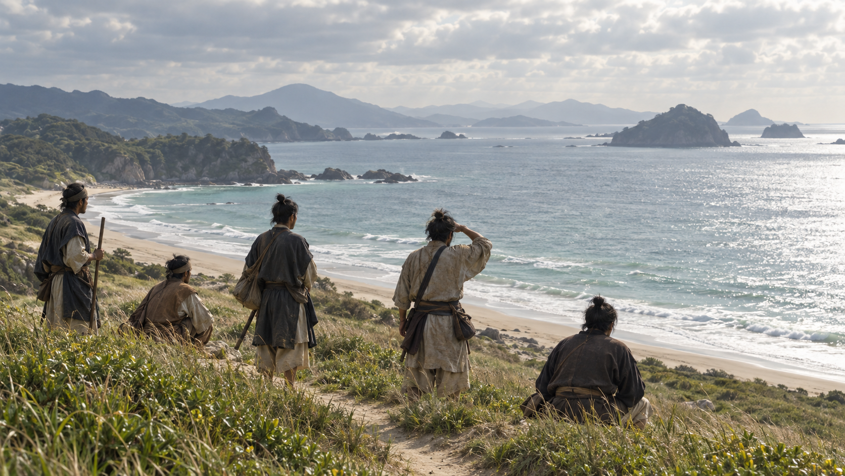
A coast without the later stone wall was not a coast without people preparing to defend it. Fukuoka City Museum explains that, before the Bun’ei invasion, the Kamakura shogunate ordered retainers with holdings in Kyushu to undertake defense there. They joined warrior groups already based in the region.
Preparing for an army coming across the sea required more than an individual carrying weapons. There had to be arrangements for deciding who would go where and for moving people. Commands from the shogunate and relationships with land formed part of the background to warriors appearing on the coast.
Attention to that system gives greater depth to a party of travelers shown in the scrolls. Their presence on the battlefield was itself connected with orders and regional relationships. The image of a warrior arriving can therefore be placed within an organization of service and preparation.
The existence of an order does not reveal the complete deployment on the day of battle. This account takes the requirement for defense before the invasion as a starting point, then follows the places and movements that enter the record. It does not fill the gaps with a complete army plan.
Chapter 03
From Tsushima and Iki to the Bay in Kyushu
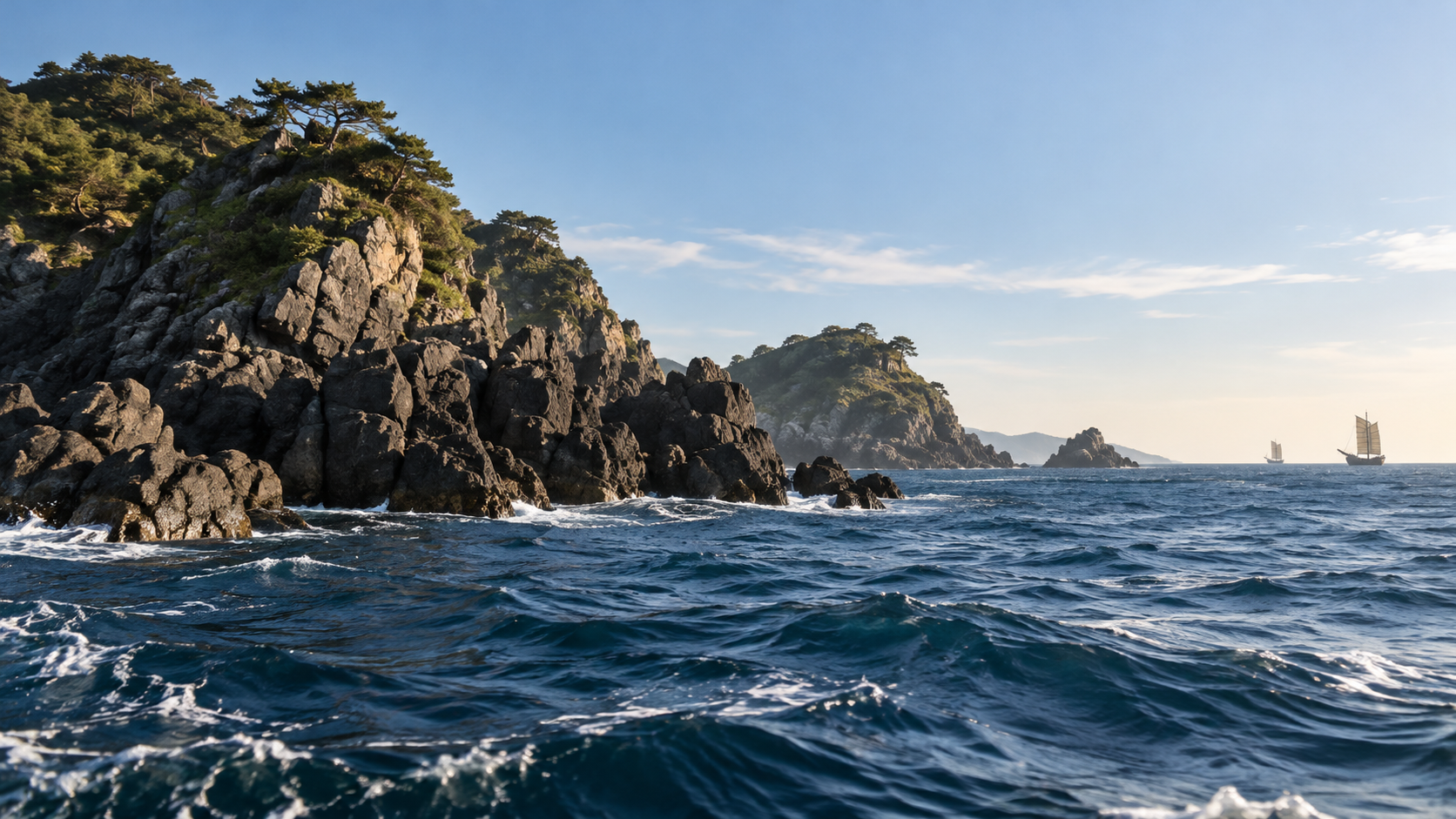
After attacking Tsushima and Iki, the Yuan forces advanced toward Hakata Bay. Fighting in the islands was followed by a new setting on the northern coast of Kyushu. At the end of the sea crossing lay a battlefield extending inland, with paths and higher ground beyond the landing shore.
The museum’s account of Momochihama describes a landing on the Momochi coast in 1274 and the establishment of a camp on Sohara hill. The present appearance of Momochi does not reveal the old waterline unchanged. The place name has continued through major subsequent alterations to the land.
An inlet in Tsushima and a beach on Hakata Bay each has its own terrain. Considering the arrival of ships also means considering where the landing army could move on land and how its opponents approached. The different geographical settings should not be combined into one generic coastline.
The names Momochi and Sohara help shift attention from sea to land. The fighting around Hakata Bay extended from water carrying ships toward the hills and roads behind it. Landing places and camps become easier to understand when they remain distinct parts of that wider setting.
Chapter 04
Entering Torikai’s Tidal Flats
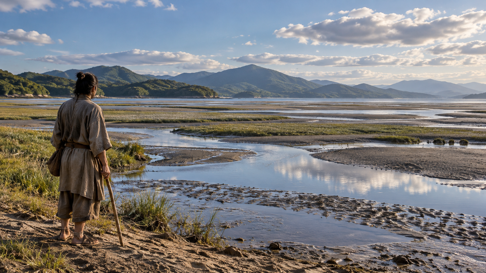
Torikai remains a name in modern Fukuoka. From the landscape depicted in the scrolls, Fukuoka City Museum reads an inlet reaching deeply into the area now occupied by Ōhori Park, with extensive tidal flats. The former waterside needs to be considered beneath today’s park and streets.
If the boundary between sea and land reached farther inland, the connections along which people and horses moved would look different from those on a modern map. Water in the scrolls is therefore more than background decoration. It supplies information for considering the terrain represented in a scene.
A painted scene cannot yield measured road widths or travel speeds. The account instead follows the museum’s explanation, bringing depicted scenes and place names together to consider the relationship between water and land. The image provides clues, without becoming a surveyed plan of the battlefield.
Following the waterside gives the battlefield depth: movement along a shore could meet movement leading into the land. Torikai’s tidal flats offer a point of entry into that relationship. They help reveal why present-day streets alone are an insufficient guide to the spaces in which the fighting took place.
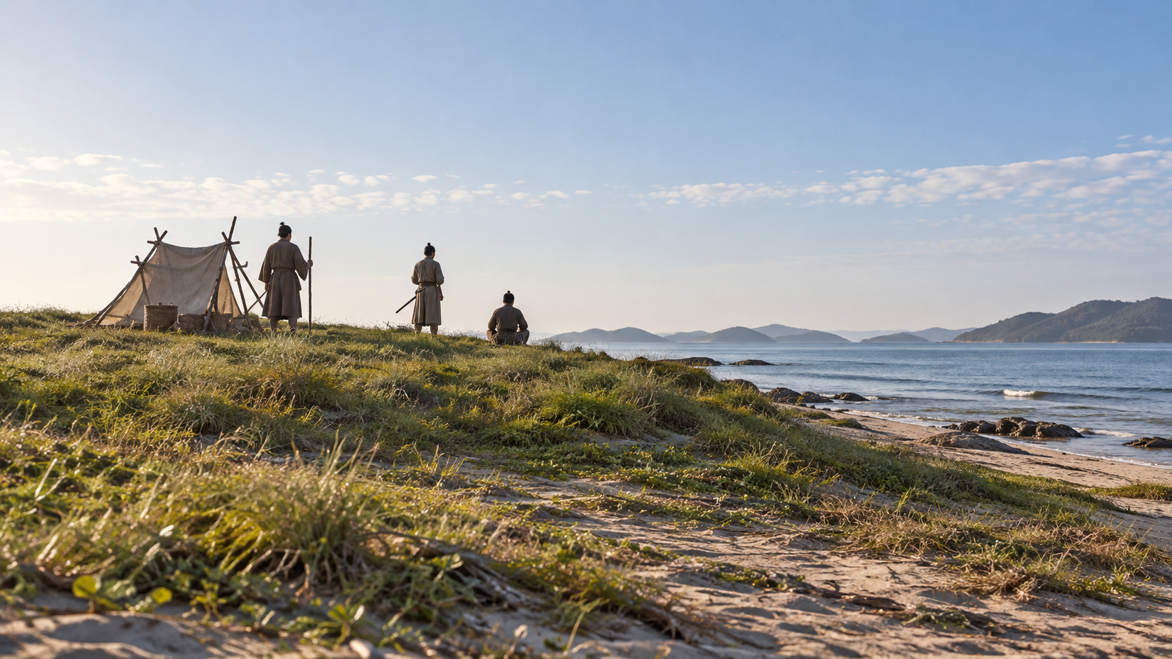
Chapter 05
A Camp on the Hill at Sohara
The army’s camp on Sohara hill is described in the museum and municipal tourism accounts. A force arriving from the sea landed and established a base on higher ground. That fact shifts the view from the ships offshore to a place on land with a different role.
The museum’s discussion of the scrolls refers to the camp at Sohara, written with an older form of the place name, and describes fighting with Japanese forces approaching from the Akasaka direction. Coast, tidal flats, hill and road appear as places performing different functions within the account.
These connections make it difficult to contain the fighting in one flat beach scene. Distinguishing the place of landing, the place of the camp and the places from which opponents approached gives a clearer sense of the battlefield’s extent. The terrain matters to how the recorded movements are read.
The materials consulted here do not reconstruct every unit’s moment of movement or the arrangement inside the camp. The inquiry follows the relationships between places indicated by names and records. It brings the hill and the waterside into one field of view while leaving unsupported details open.
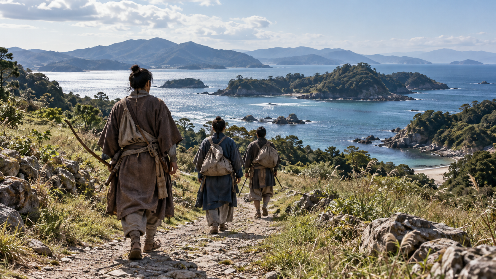
Chapter 06
The Road from Hakozaki Toward the Fighting
The party accompanying Takezaki Suenaga, a warrior from Higo and the scrolls’ central figure, traveled before reaching the battlefield. Fukuoka City Museum explains a sequence in the scrolls from the camp at Hakozaki through Hakata, Sumiyoshi and Akasaka to fighting on the tidal flats at Torikai.
Familiar place names can invite a reader to draw one firm line on a modern map. Komatsubara, which appears along the way, has not been securely identified in the explanation. Reading this journey requires preserving both the places that can be identified and the point that remains uncertain.
Suenaga’s movement presents Hakata Bay in 1274 as a connected series of places. The warriors did not simply appear on the beach: the story takes them out of a camp and through settlements and paths toward the fighting. Movement across the land is part of what the scrolls convey.
Following the party brings the organization of defense into contact with actual terrain. Yet the route narrated from Suenaga’s side has a different scope from a complete map of both armies’ actions. It is useful precisely when the particular perspective and the unidentified places remain visible.
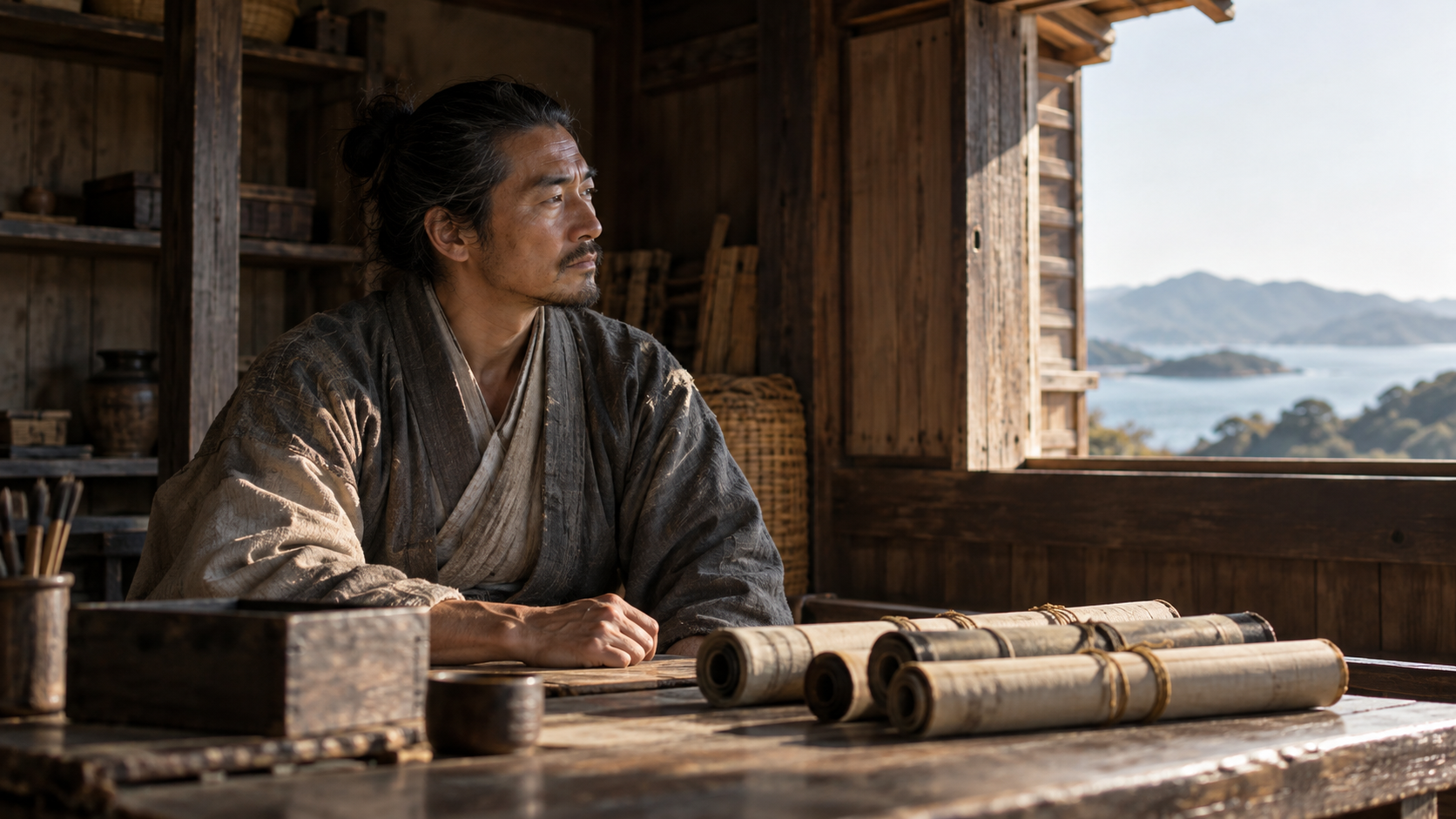
Chapter 07
The Fighting Suenaga Wanted Remembered
The Mongol Invasion Scrolls have a perspective concerned with preserving Suenaga’s military service. The National Museum of Japanese History’s explanation of its reproduction also discusses gratitude to a deity and to people who assisted him as possible meanings of commissioning the work. This is an interpretation of purpose, not a transcript of his thoughts.
Images of mounted warriors advancing into combat can be compelling. Considering what the source sought to communicate changes how those images are read. Actions and relationships worth preserving from Suenaga’s position were entrusted to pictures and words, giving the work a particular focus rather than an impartial view from everywhere.
Fukuoka City Museum also identifies problems in transmission, including later copies, misplaced or missing parts, material from other pictures and additions. The order in which scenes survive cannot simply be taken as the complete order of everything that occurred in the fighting. The work’s later history matters to its use.
The source nevertheless has great value for place names, landscape and movement. Asking what is depicted, from whose perspective it is presented and how it reached the present reveals historical clues within the powerful imagery. These questions allow appreciation of the pictures alongside care about the evidence they provide.
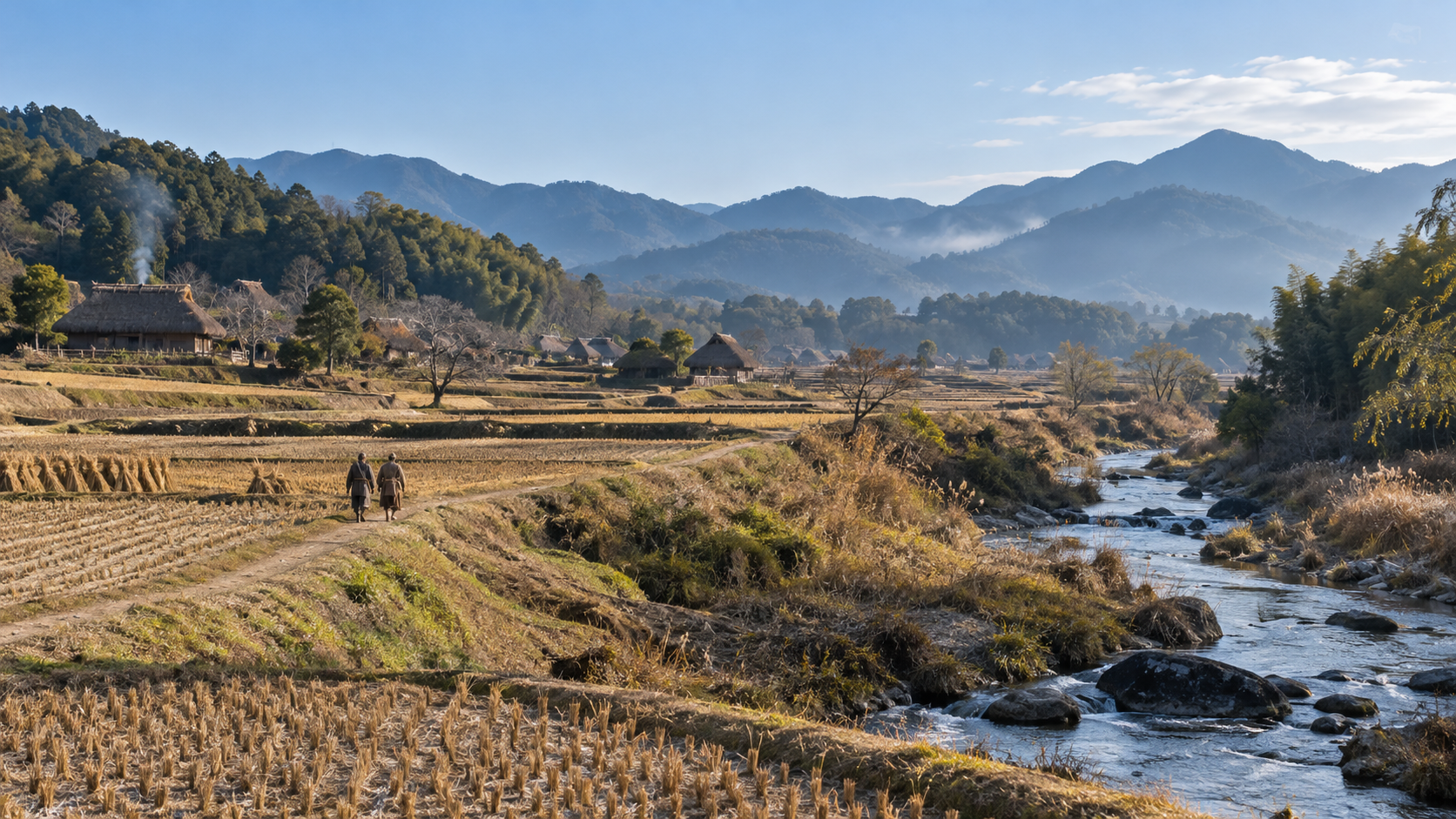
Chapter 08
Beyond the Battlefield: Responsibilities in a Holding
Suenaga’s activities after the fighting also concerned land. The Cultural Heritage Online explanation states that he received Kaitō-gō as a reward for service in the Bun’ei invasion and entered the holding in the first month of 1276. Military service thus connected with the basis of his subsequent life.
His donation document and later written provisions concern shrines, a temple and the management of the holding. This is a different kind of record from the depiction of military achievements in the scrolls. It reveals aspects of a warrior who had received land and continued to act within a local community.
Rather than attempting a complete account of the reward negotiations, this chapter notes that records continue outside the battlefield story. Establishing the scope of a particular document helps distinguish the scroll’s fighting scenes from papers concerning land. Neither kind of evidence should automatically be made to do the other’s work.
The person who traveled through the Hakata Bay battlefield continued living within regional relationships afterward. Reading the figure engaged in fighting alongside the figure leaving records about land and people places the effort to preserve his service within a longer stretch of time. The battle was not his whole subsequent life.
Chapter 09
The Coast After the Army Departed
The Yuan forces that landed around Hakata Bay eventually withdrew. The end of the fighting did not remove the possibility of another army arriving from across the sea. Coastal defense therefore continued into a new period, in which preparations could change after the experience of the first invasion.
The municipal tourism account links the withdrawal with a storm. Within the institutional explanations consulted here, however, this article does not independently establish one exclusive reason for the decision to withdraw, or precise times and dimensions for that night’s wind and rain. Attribution is kept separate from independent demonstration.
The sequence followed here concerns the preparations made afterward on the coast where the first invasion had occurred. Distinguishing the fighting of 1274 from newly built facilities brings a change in response into view. The scenes belong to successive stages rather than to one simultaneous defensive landscape.
The defenses surviving today cannot simply be placed in the coast as it appeared on the day of the first invasion. Moving forward to the period when the stones were laid provides a way to examine the work that followed the fighting. Their date is central to what they tell us.
Chapter 10
1276: Carrying Stones to the Shore
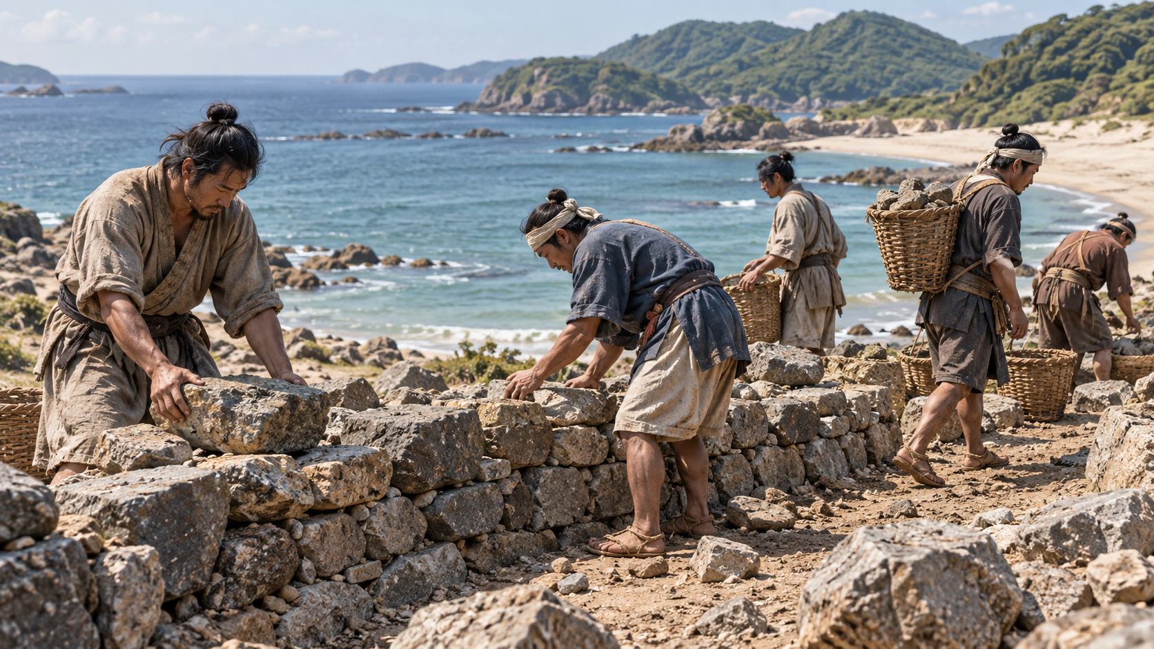
In Kenji 2, or 1276, construction of the stone defenses proceeded along Hakata Bay, two years after the Bun’ei invasion. The prefectural cultural-property explanation describes a coastal span of about twenty kilometers, from Imazu to Kashii, with work divided among the nine historical provinces of Kyushu.
One project for a long defensive line consisted of several assigned sections. Differences in foundations and methods of laying stones remain recognizable from place to place. The structures gathered under one name therefore also preserve differences in the construction undertaken in their separate sections.
Fukuoka City’s Imazu explanation describes farmers as the workforce and says the defenses are thought to have been completed in about half a year. Besides assembling warriors on the coast, preparation involved the work of carrying and stacking stone, extending the defense effort into the lives of people in the region.
The figure of about twenty kilometers describes the extent of the original construction. It does not mean that every part survives today in the same form. Moving from the historical building project to the visible remains requires distinguishing the original scale from the portions preserved or restored.
Chapter 11
Seven Years Later, the Defense Had Changed
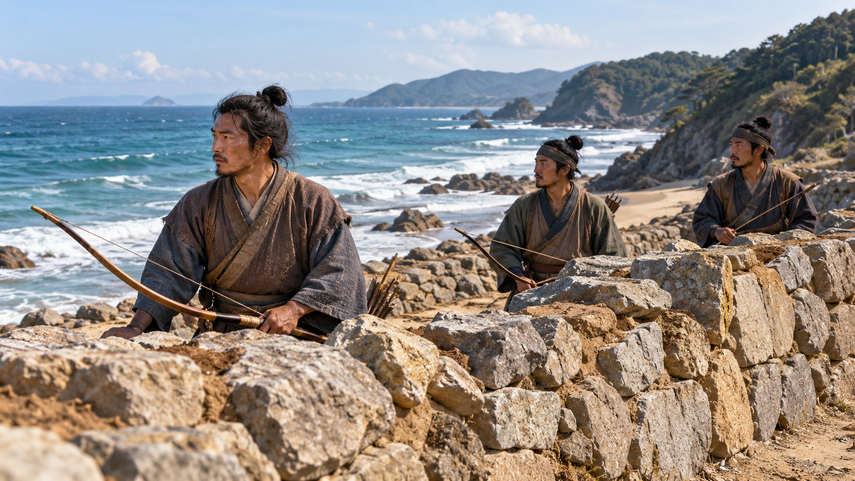
In Kōan 4, or 1281, Yuan forces returned in the second invasion, seven years after the Bun’ei campaign. By then the coast of Hakata Bay had stone defenses built after the first attack. The material setting of defense differed from the one encountered in 1274.
Landing in 1274, construction in 1276 and renewed invasion in 1281 form a sequence. Between the two episodes of fighting there had been time to change the coast’s preparations and built landscape. Keeping the dates in order makes that intervening work part of the history.
The Mongol Invasion Scrolls contain scenes associated with both invasions. Checking which episode a scene represents, including scenes showing stone defenses, helps connect the work’s chronology with that of the remains. An image of a wall in the scrolls does not make the wall part of the first invasion.
The coast without the later wall becomes clearer when considered alongside the stonework that followed. Earlier preparations and preparations added after experience were different stages in the same bay’s history. The change matters as much as the familiar image of a single defensive line.
Chapter 12
Finding an Older Waterline Beneath the City
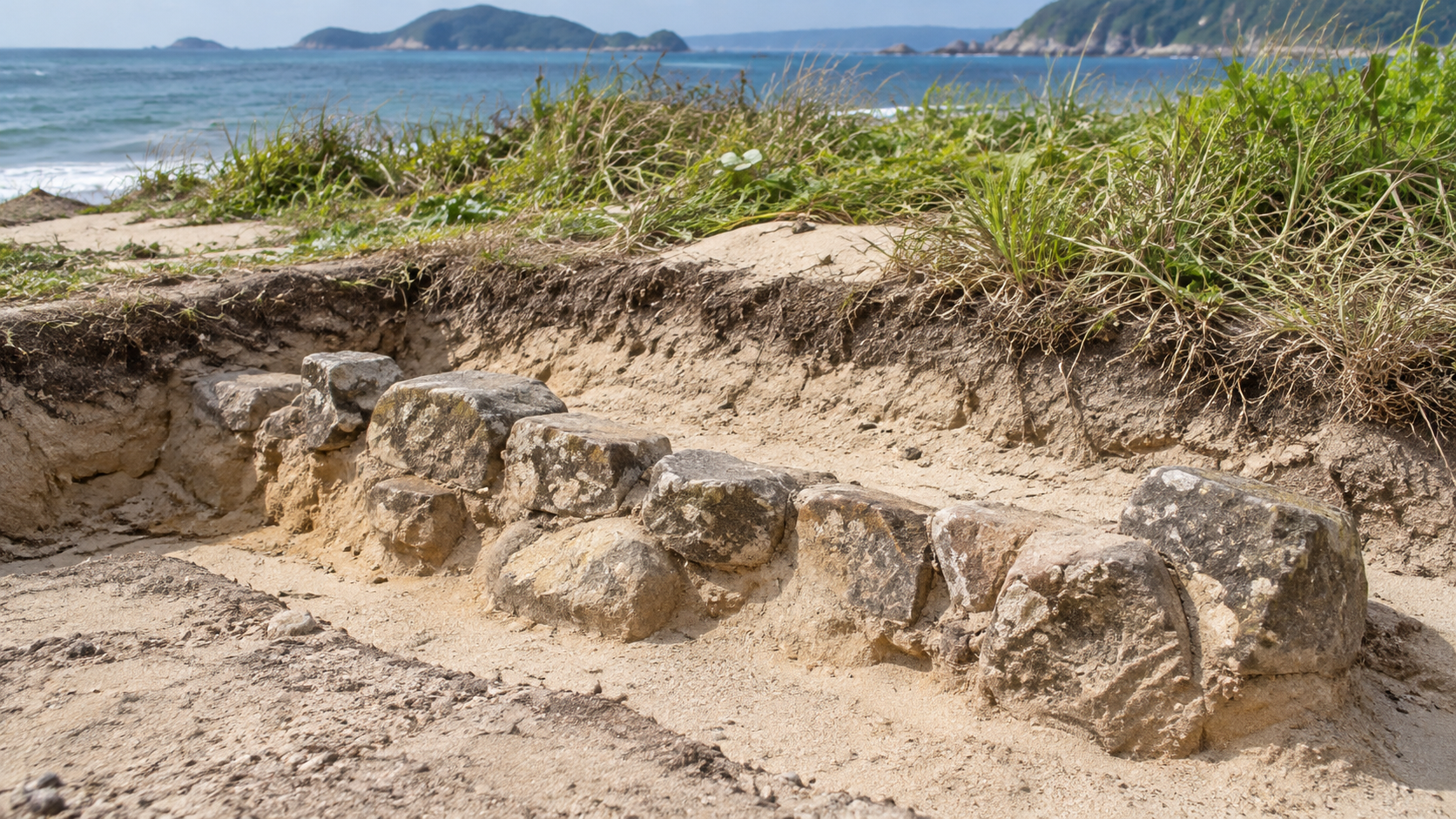
Some places where the defenses can be seen today were preserved and presented after archaeological investigation. Parts had been buried in sand or damaged in later periods. Fukuoka City Museum describes the sequence of modern investigations and the substantial excavations undertaken between 1968 and 1971.
At Imazu, the city explains that about two hundred meters have been restored and presented. The visible stonework thus carries a history extending from medieval construction through modern investigation and conservation. Its appearance in a photograph or at a site needs to be read together with that history.
Attention can then return from the stonework to Torikai’s tidal flats, Sohara’s hill and the path from Hakozaki. Names surviving in the city offer small points of entry into thinking about a lost waterside and battlefield. They provide clues without preserving the whole medieval landscape unchanged.
Following Hakata Bay in 1274 means resisting the addition of a later long wall to the first battlefield. The scrolls and place names provide one set of clues; the subsequent construction belongs to a later stage. Looking carefully at the boundary of sea and land connects the fighting with the work of those preparing for another arrival.
How to read this work
History, interpretation, and reconstruction
Following water, hills and paths around Hakata Bay, while respecting the scrolls’ perspective and limits, separates the first invasion from the defensive construction that followed.
This work is grounded in published sources and historical research. Interior thoughts, dialogue, and some visual details are cinematic reconstructions. Where historians disagree, the article presents the point as debated rather than settled fact.
Timeline
The story in time
People & terms
A guide for new readers
Key figures
- Takezaki Suenaga
- A warrior from Higo whose military service is recorded in the Mongol Invasion Scrolls. He received Kaitō-gō as a reward for service in the Bun’ei invasion.
Glossary
- Bun’ei invasion 文永の役
- The first invasion discussed here, in 1274. It is distinguished from the construction of stone defenses in 1276 and the Kōan invasion of 1281.
- Kōan invasion 弘安の役
- The second invasion in 1281, after construction of the defensive wall. Scenes from the two invasions are not combined into one event.
- Yuan forces 元軍
- The expeditionary forces referred to in the institutional accounts of the attacks on Tsushima, Iki and northern Kyushu. No exact troop or fleet total is supplied here.
- Kyushu 九州
- The regional setting on Japan’s western side, including Hakata Bay. The nine provinces assigned wall construction were historical provinces, not nine modern countries.
- Gokenin 御家人
- Retainers of the Kamakura shogunate. The relevant account describes defensive orders to those with holdings in Kyushu, alongside warrior groups based there.
- Mōko Shūrai Ekotoba 蒙古襲来絵詞
- The Mongol Invasion Scrolls, combining pictures and text around Suenaga’s service. Their perspective and later transmission are part of how they are interpreted.
- Torikai tidal flats 鳥飼の干潟
- The waterside setting interpreted by the museum around the area now occupied by Ōhori Park. The modern park’s outline is not a surveyed medieval coastline.
- Sohara 祖原・麁原
- The hill named as a camp setting in the institutional explanations. The older written form and present place name are connected without inventing an exact camp plan.
- Komatsubara 小松原
- A place appearing in the scroll route whose location remains unidentified in the explanation. It is not given a speculative modern coordinate.
- Ishi-tsuiji 石築地
- The contemporary term for the stone defenses built after the first invasion. Their original extent is distinguished from surviving and restored portions.
- Genkō bōrui 元寇防塁
- The name used for the coastal defenses associated with the invasions. The remains have histories of burial, damage, excavation and conservation.
- Kaitō-gō 海東郷
- The holding Suenaga entered in 1276 after receiving it as a reward. Later land documents provide a different kind of evidence from battlefield scenes.
- Reproduction 複製
- A copy such as the upper-scroll item in the national museum’s collection record. Reading its description is not seeing or authenticating the original scroll.
Sources & method
How this article was built
This English manuscript follows the fixed public Japanese article’s twelve chapters and forty-eight body paragraphs, one listed person, six timeline entries and nine historical references in their original order. Reference titles are editorial English renderings. No new source IDs or battle episodes are added.
Relevant passages on all nine historical institutional sources were consulted. Cultural Heritage Online initially timed out; its legacy official address redirected to the same canonical entry, which was read. Original scrolls, complete manuscript text and the illustrated construction order were not independently deciphered. No source images are reproduced.
Publisher metadata conservatively groups the municipal museum, ward and official city tourism pages under Fukuoka City. The prefectural cultural-property authority, National Museum of Japanese History and Agency for Cultural Affairs are separate publisher organizations. Hosting platforms and a pronunciation aid are not counted as additional historical sources or publishers.
The chronology keeps 1274, 1276 and 1281 distinct. The long stone defensive line is not placed in the first invasion, and the absence of that line is not treated as absence of earlier guards. The original approximately twenty-kilometer construction extent differs from the approximately two-hundred-meter restored portion at Imazu. Construction methods are not made uniform along the whole line.
The scroll route retains the unidentified Komatsubara. No modern GPS line, road width, precise distance, travel speed, tidal level, army formation or clock time is inferred from pictures. The museum’s reading of Torikai’s former inlet and Sohara’s camp is attributed through its explanatory account.
The scrolls’ focus on Suenaga, interpretations concerning gratitude and the problems of later transmission remain explicit. They are not treated as an unaltered, impartial report of every battlefield event. Land records from 1293 and 1314 are not dated to his entry into the rewarded holding in 1276.
The tourism account’s storm explanation is attributed rather than independently proved as the exclusive cause of withdrawal. Exact weather timing, scale and private decisions are not supplied. The account does not transfer a description of the later invasion’s storm into the first invasion as the same event.
All twelve generated images were actually viewed in the retained contact sheet. Their canonical bytes and article-use rights are checked against the Japanese review. Figures, boats, pine-edged shores, hills, stonework and tools are imaginative representations, not authenticated portraits, precise medieval landscapes, ship specifications, site photographs or archaeological records. The later construction and wall scenes are not illustrations of a completed wall in 1274.
The interpretation connects fighting with travel, terrain and subsequent defensive work. No dialogue, individual emotion or undocumented sequence is invented. The video has Japanese audio; English subtitles are unverified.
Sources
References and further reading
- Exhibition 120: The Mongol Invasion Scrolls 福岡市博物館 No.120 蒙古襲来絵詞展 Title translated editorially for reader convenience. Fukuoka City 福岡市博物館 The municipal museum explanation and captions discuss Suenaga’s perspective, the route through named places, Torikai’s landscape and transmission problems. Original scroll text was not independently deciphered. Accessed 2026-10-18
- Exhibition 588: Coastal Defenders, the Invasions and Warrior Groups 福岡市博物館 No.588 防人たち・元寇と武士団 Title translated editorially for reader convenience. Fukuoka City 福岡市博物館 The museum’s relevant section supports defensive orders before 1274 and construction afterward. Earlier guards are not equated with the later stone wall or a complete known deployment. Accessed 2026-10-18
- The Front Line of the Mongol Invasions 福岡市観光情報 よかなび 元寇の最前線 Title translated editorially for reader convenience. Fukuoka City 福岡市公式観光情報サイト よかなび The city’s official Yokanavi tourism explanation introduces places and the sequence of attacks and construction. Its storm explanation is attributed; its photographs and scroll reproductions are not reused. Accessed 2026-10-18
- Exhibition 23: The Stone Defenses Against the Mongol Invasions 福岡市博物館 No.023 元寇防塁展 Title translated editorially for reader convenience. Fukuoka City 福岡市博物館 The museum explanation and investigation table distinguish 1276 construction, 1281 and modern excavation. A historic exhibition’s wording is not treated as a current site survey. Accessed 2026-10-18
- The Genkō Defensive Walls: Cultural-Property Record 福岡県文化財データベース 元寇防塁 Title translated editorially for reader convenience. Fukuoka Prefectural Board of Education 福岡県教育庁文化財保護課・福岡県文化財データベース The prefectural description supports the nine-province division of work, the original approximately twenty-kilometer extent and differences in construction methods. It does not establish uninterrupted survival. Accessed 2026-10-18
- Mongol Invasion Scrolls, Upper Scroll: Reproduction 国立歴史民俗博物館 khirin 蒙古襲来絵詞上巻複製 Title translated editorially for reader convenience. National Museum of Japanese History 国立歴史民俗博物館・khirin The khirin record explicitly describes a reproduction. Its discussion of gratitude and later alterations is not an independent inspection of the original or a complete transcript of Suenaga’s intentions. Accessed 2026-10-18
- Takezaki Suenaga’s Donation Document and Written Provisions 文化遺産オンライン 竹崎季長寄進状并置文 Title translated editorially for reader convenience. Agency for Cultural Affairs 文化庁・文化遺産オンライン The Cultural Heritage Online explanation distinguishes entry into the rewarded holding in 1276 from later documents in 1293 and 1314. Original handwriting and every provision were not independently deciphered. Accessed 2026-10-18
- The Defensive Wall at Imazu 福岡市 今津元寇防塁 Title translated editorially for reader convenience. Fukuoka City 福岡市西区 The Nishi Ward explanation describes construction responsibilities, a qualified approximate duration and a restored stretch of about two hundred meters. Modern site features are not projected into 1274. Accessed 2026-10-18
- Exhibition 254: The Story of Momochihama 福岡市博物館 No.254 百道浜ものがたり Title translated editorially for reader convenience. Fukuoka City 福岡市博物館 The museum’s landscape history supports the Momochi landing and Sohara camp while distinguishing the medieval coast from later planting and reclamation. Modern district boundaries are not exact landing coordinates. Accessed 2026-10-18
Continue reading
More stories from Shigeki
Shigeki English
Sakai’s Merchant City: Trade, Self-Government and Survival
A port, a merchant council and town communities—from changing authority to rebuilding after fire.
- When From the later fifteenth century through the Sengoku period, the fire of 1615 and early Edo-period reconstruction.
- Where Sakai, in present-day Osaka Prefecture, where maritime routes met roads on land.
Shigeki English
The Aburanokōji Incident: After Leaving the Shinsengumi
A separation in spring, a new base in summer, and two successive attacks.
- When Kyoto in Keiō 3 (1867). The incident’s historical date corresponds to December 13, 1867.
- Where Kyoto: the guards’ successive bases, the Aburanokōji attack site and the later place of remembrance.