
SHIGEKI ENGLISH STORYEN
Japanese history in English
Ichi-no-Tani: The Battlefield Beyond the Famous Descent
Noriyori, Yoshitsune, and Tada Yukitsuna: reading several directions of attack through different kinds of evidence.
In 1184, the Taira positions along the coast of present-day Kobe fell. Yoshitsune’s descent is the best-known image of the battle, but reports also name Noriyori and Tada Yukitsuna. This article follows the wider battlefield, then examines what early reports, a later chronicle, and modern interpretations can tell us about the victory.
At a glance
Before you enter the story
- When
- 1184, Juei 3; the battle is dated to the seventh day of the second month in the calendar then in use.
- Where
- The coast of present-day Kobe, with the discussion extending from Ikuta-no-Mori to Suma and the mountain approaches.
- Key figures
- Minamoto no Noriyori, Minamoto no Yoshitsune, Tada Yukitsuna, Kujo Kanezane, Taira no Munemori
- What was at stake
- How did attacks from several directions, and the information surrounding them, contribute to the collapse of the Taira positions?
Why this story matters
The larger history behind the turning point
A celebrated descent can make a complicated battle easy to picture. It can also make the surrounding action disappear. At Ichi-no-Tani, widening the view brings another commander’s coastal advance, an attack associated with Tada Yukitsuna, and news reaching the capital into the same story.
The surviving descriptions do not all carry the same authority. An early diary entry records reports heard away from the fighting; a later chronicle supplies a more elaborate account. Reading their differences helps us understand the battle while keeping the uncertain locations and the weight of each attack open to examination.
Historical context
What an international reader needs to know
Names, families, and the capital
Taira and Minamoto are the family names used in this article; the Japanese names Heike and Genji also appear in accounts of the conflict. A family label should not make us imagine one unchanging, united army. The accounts describe conflict among Minamoto forces as well as their struggle with the Taira.
The capital in this narrative is Kyoto. The fighting takes us westward to the coast of present-day Kobe. Noriyori and Yoshitsune are named separately because their approaches differ in the accounts. Kanezane enters the story as a receiver of news in Kyoto, rather than as a commander on the shore.
Dates, reports, and maps
Dates such as the seventh day of the second month refer to the historical calendar. They should not be read as February 7 in today’s Gregorian calendar. We retain 1184 and Juei 3 for orientation and keep the older month-and-day notation explicit throughout the timeline.
Present-day place names are guides to the discussion, not automatic answers to the locations in medieval texts. The diagrams retain their Japanese labels, while their English captions explain the relationships shown. None supplies a measured battlefield plan, a complete army route, or a settled identification of the famous descent.
Watch the film
See the story in motion
The film currently uses Japanese audio. This English article provides the context and source trail; it does not imply that an English subtitle track is available.
Scene 01
A battlefield wider than one cliff
In 1184, Taira positions along the coast of what is now Kobe collapsed. The engagement is remembered as the Battle of Ichi-no-Tani. For many readers, its name immediately calls up Yoshitsune leading warriors down a steep slope.
A wider view takes us across the coastal positions. From Ikuta-no-Mori toward Suma, the coastal positions lay between mountains and sea. Noriyori and Yoshitsune approached through different routes, and the diary Gyokuyo also names Tada Yukitsuna in an attack from the mountain side.
Those names change the question at the entrance to the story. How much can one dramatic attack explain about positions spread across a broad coastal area? To answer, we need to follow the approaches before deciding what the famous descent meant.
We begin with the eastern, western, and mountain-side relationships described in the sources. The location of the descent and the reports of victory will then enter that larger frame. The familiar image remains a subject to examine, with other participants and other evidence visible around it.
Scene 02
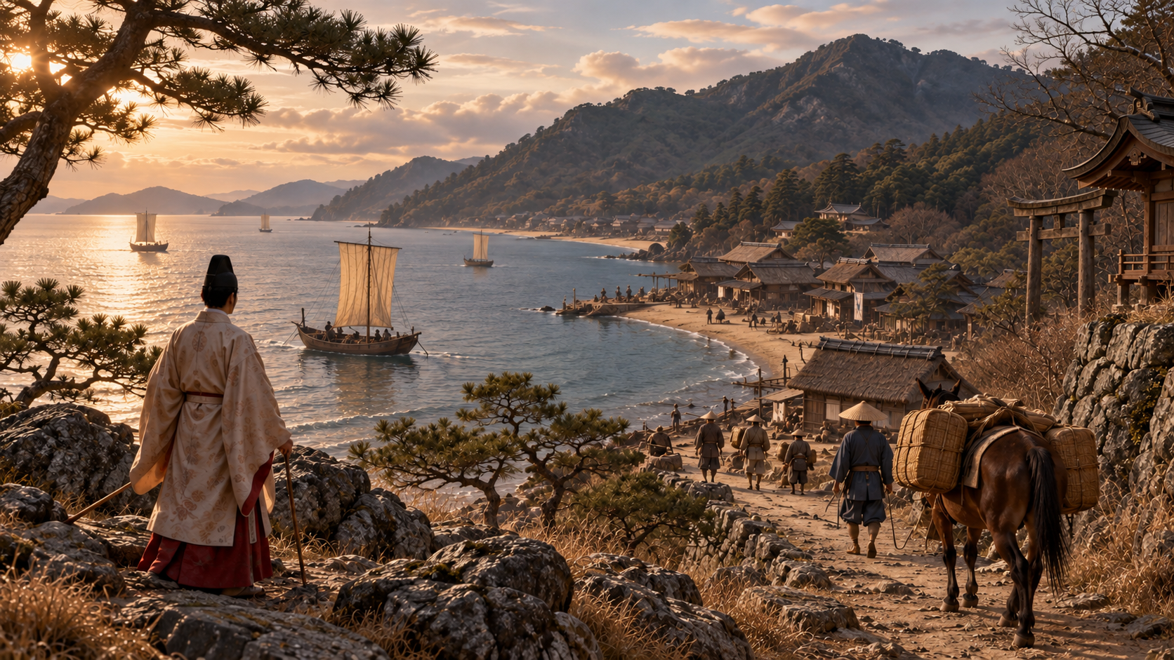
Why the Taira returned to the coast
The year before the battle, in 1183, the Taira had left Kyoto and withdrawn westward. Meanwhile, Minamoto no Yoshinaka entered the capital and came into conflict with the retired emperor Go-Shirakawa. The name Minamoto did not mean that every force was acting together.
Noriyori and Yoshitsune advanced from Yoritomo’s side, defeated Yoshinaka, and then turned toward the Taira. During these changes, the Taira returned to the Hyogo area and established themselves on the coast of present-day Kobe.
Fukuhara and the port of Owada-no-Tomari belonged to a landscape with which Taira no Kiyomori had been closely connected. The cited historical explanations place the Taira return in a coastal setting where people and goods moved between land and sea.
The Taira were seeking a way back toward the capital while Minamoto forces advanced westward. Those movements met along the narrow coast. Following the land approaches together with the sea connections gives us a more useful starting point for the battle than an image of flight alone.
Scene 03
Reading an extended defensive position
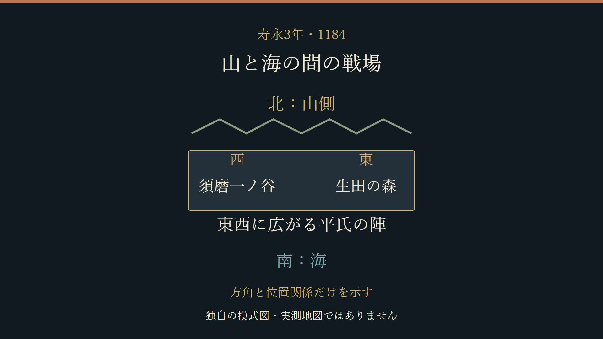
Mountains stand north of the Kobe coast and the sea lies to the south. Kobe City’s historical account places Taira defensive positions at Ikuta-no-Mori in the east and Suma Ichi-no-Tani in the west. The frame is an extended battlefield rather than a single point on a map.
An approach from the east, an approach from the west, and a descent from the mountain side presented different spatial relationships. The diagram helps the reader hold those directions together. Its labels identify the sea, mountains, Ikuta-no-Mori, and Suma Ichi-no-Tani.
The broad relationship does not settle the precise placement of individual forces. Neither troop numbers nor a detailed arrangement of fortifications can be recovered from the modern diagram. Those would require evidence beyond the positions summarized here.
Terrain could narrow the land approaches while leaving connections to vessels offshore. Its military meaning therefore depended on the direction under discussion. We will keep the terrain in view as the accounts introduce the forces approaching it.
Scene 04
Two approaches to the Taira positions
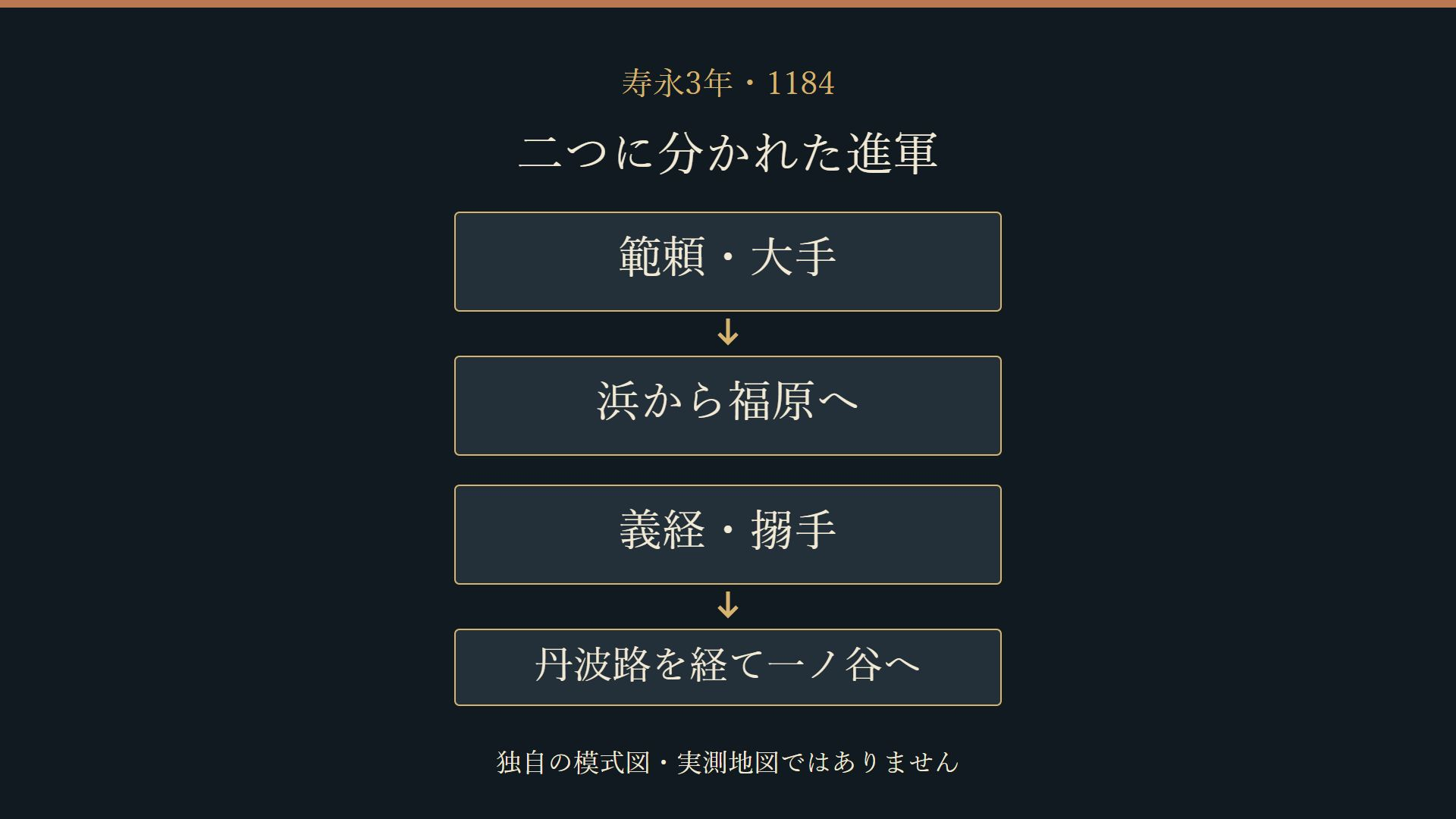
The sources distinguish Noriyori’s ote from Yoshitsune’s karamete. Here ote means the main or frontal approach, while karamete describes an approach from another side. These terms organize the discussion without supplying a complete tactical plan.
The documentary explanation published by Kobe City describes Noriyori advancing along the coastal Sanyodo and Yoshitsune making a northern circuit through the Tanba route. The battle report in Gyokuyo likewise associates Yoshitsune with Ichi-no-Tani and Noriyori with an advance from the shore toward Fukuhara.
Two arrows cannot account for every soldier’s movement. They do, however, help us follow the distinction between the approaches described in these accounts. Both commanders belong in the story before we ask how to assess a mountain-side attack.
From the defenders’ side, the practical question was where to direct attention and strength across their positions. This is a way of reading the spatial problem, rather than evidence of a particular order. It brings the combination of approaches into focus without awarding the whole battle to either commander.
Scene 05
Mikusa-yama before the main battle
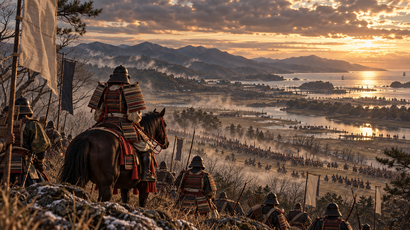
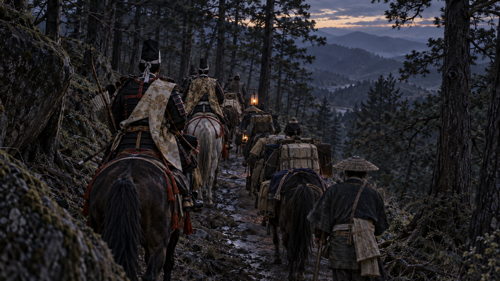
The accounts also describe fighting before the main engagement. Azuma Kagami records Yoshitsune’s force attacking Taira troops at Mikusa-yama at night. The Kobe City documentary explanation treats this as a preliminary engagement on the way to Ichi-no-Tani.
The place called Mikusa-yama has itself been identified in different ways. A name in the text gives us a subject for geographical investigation; it does not by itself provide one certain location on a current map.
The Hyogo literary museum’s Heike exhibition also introduces difficulties in relating the places of the tale to present-day terrain. Following that caution, this article does not draw one confirmed route connecting the preliminary fighting to the later positions.
What we retain is the existence of an account of fighting before Yoshitsune’s main attack. That gives the famous scene a preceding movement and a sequence to read. The route remains a separate question, with the limits of the place identification still visible.
Scene 06
News reaches Kyoto
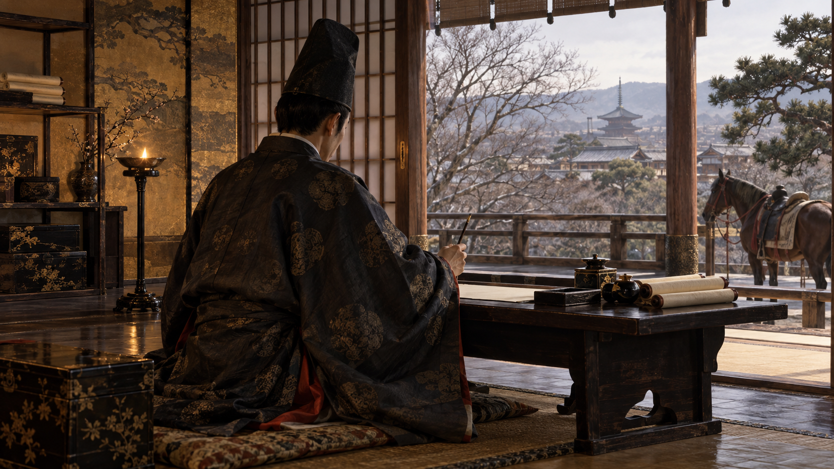
On the day after the battle, news of victory reached Kujo Kanezane in Kyoto. He recorded what he heard in his diary, Gyokuyo. Its report places several attackers within the same account of the fighting.
As presented in the documentary discussion, the entry says that Yoshitsune took Ichi-no-Tani, that Noriyori advanced from the shore toward Fukuhara, and that Tada Yukitsuna attacked from the mountain side and took the upland position first. The names and the differing descriptions of their actions are worth retaining.
Kanezane had not watched the battle from the coast. He was recording reports heard in the capital. The distance between an event and the person writing about it is part of the evidence, even when the written entry follows the event closely.
This early report is valuable when set beside later narratives. Its early date does not establish that every detail was accurate. We therefore read two things together: the entry is transmitted news, and the news it records describes more than one attacker.
Scene 07
The mountain-side attack of Tada Yukitsuna
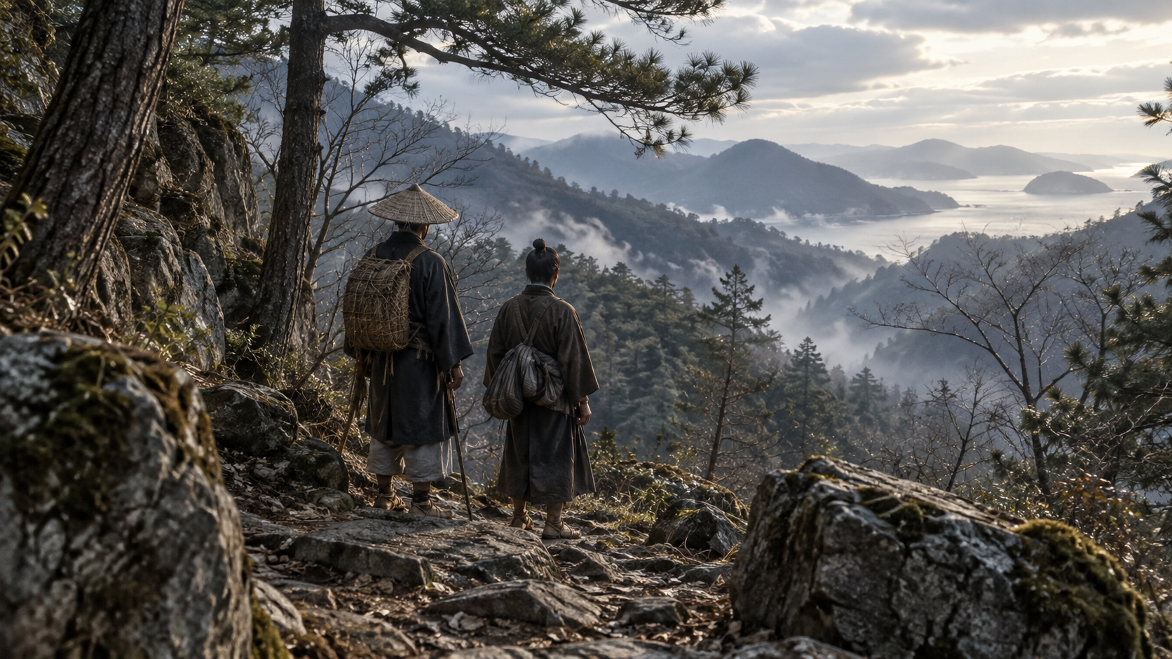
Tada Yukitsuna is less prominent in the familiar image of the battle than Yoshitsune. In the Gyokuyo report used here, however, he appears as a participant attacking from the mountain side and taking the upland position first.
Keeping this statement in view makes it difficult to assign every mountain-side movement to Yoshitsune. It also introduces another geographical question: where was the position described as yamate, the upland or mountain-side position?
Interpretations differ. Some discussions emphasize the area of present-day Hiyodorigoe, while others focus on the mountains behind Suma Ichi-no-Tani. Naming Yukitsuna does not settle which slope he approached or trace his route across it.
The distinction between a reported mountain-side attack and a precise route remains important. Yukitsuna need not become a new sole explanation of the victory. Retaining the main approach, the other approach, and the mountain-side attack preserves the breadth of the short report.
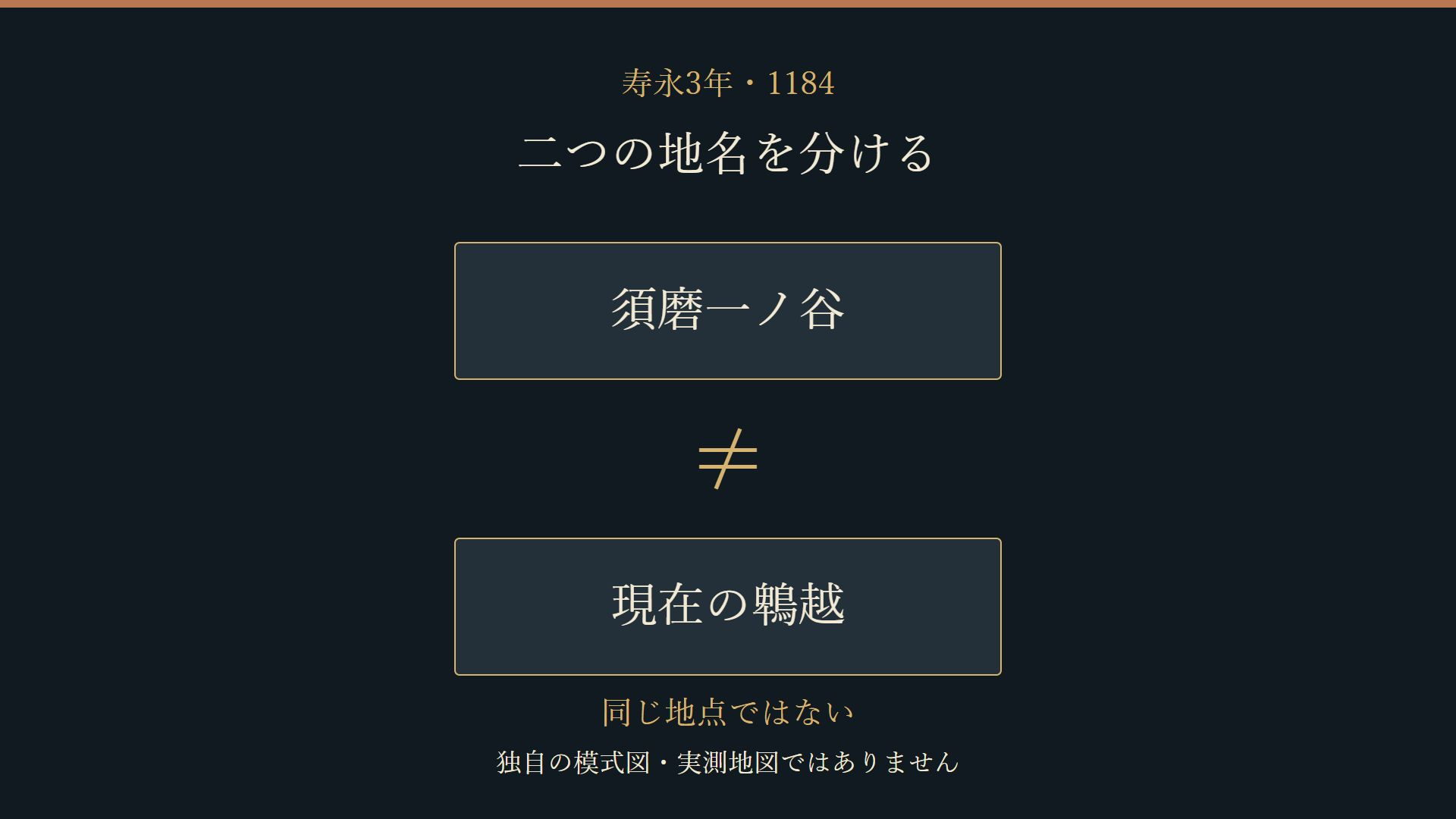
Scene 08
Keeping two modern places distinct
In the narrative tradition, Hiyodorigoe can appear as the mountain behind Ichi-no-Tani. Present-day Suma Ichi-no-Tani and the mountain route now called Hiyodorigoe, however, are distinct locations. They should remain distinct when we examine a modern map.
The Hyogo Prefectural Museum of History explains why this relationship between names complicates discussion of the descent. An interpretation centered on present-day Hiyodorigoe directs attention toward an attack descending on the Fukuhara side.
An interpretation centered on Suma Ichi-no-Tani instead considers the mountain behind those western positions. Choosing between these settings changes both the terrain being pictured and the destination assigned to the attackers.
The comparison diagram keeps the places separate. It asks readers to consider which position an account describes and who is said to have attacked it. A familiar name cannot resolve all those questions, and joining the two modern settings into one continuous cliff would hide the problem.
Scene 09
What weight can the descent bear?
Azuma Kagami describes Yoshitsune attacking from steep ground on the mountain side and the Taira giving way. The National Archives places the compilation of that chronicle around 1300. Its account was compiled substantially later than the battle.
That does not make the chronicle useless. It does mean that its detailed narrative and the early report in Gyokuyo should be read with their different circumstances in mind. They are different kinds of evidence for the same engagement.
Kondo’s documentary discussion emphasizes the mountains behind Suma Ichi-no-Tani in interpreting the descent. The Hyogo museum presents a view that draws attention to an attack from the present-day Hiyodorigoe side. Both involve reading texts together with terrain.
These interpretations remain visible in the account presented here. The chronicle’s report of Yoshitsune’s mountain-side attack is retained, while its location and its contribution to the result remain questions to examine.
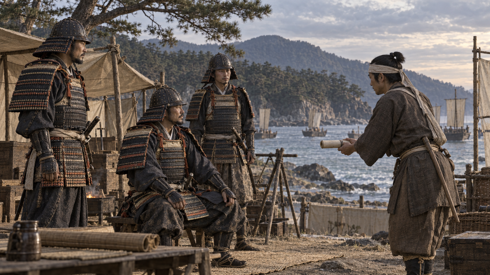
Scene 10
Negotiations beyond the battlefield
The movements of armies are only part of the surviving discussion. A letter from Taira no Munemori preserved in Azuma Kagami criticizes the attack from the perspective of the side that had received messages concerning peace negotiations.
The Hyogo museum introduces the possibility that negotiations associated with Go-Shirakawa affected Taira decisions. A letter written from the defeated side, however, cannot directly establish that its forces relaxed their guard.
Nor can one letter settle the retired emperor’s private intentions or show how every soldier understood a message. The more limited point retained here is that exchanges about fighting and negotiation formed part of the circumstances around the engagement.
Placing messages from the capital beside movements on the coast widens the setting of the battle. The article considers their possible significance without claiming that a single stratagem, or a single surprise attack, explains the entire outcome.
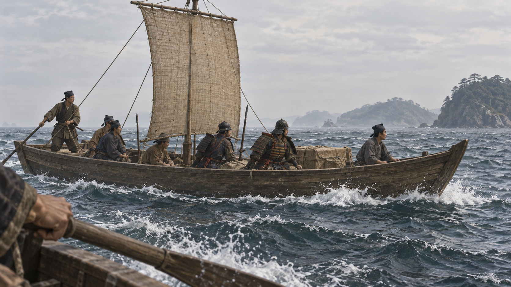
Scene 11
Defeat on land, a continuing war
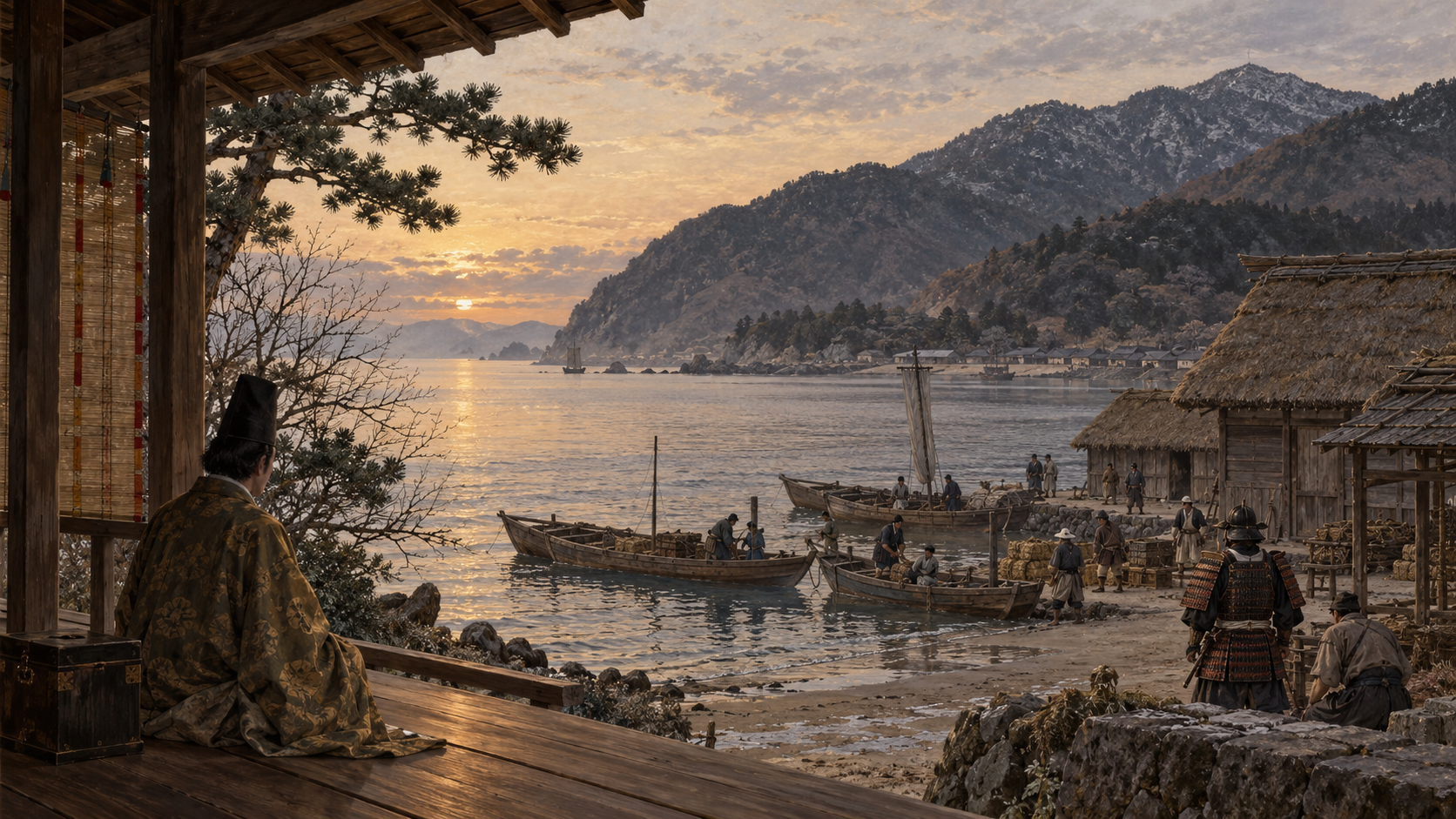
The Taira lost at Ichi-no-Tani. Azuma Kagami describes people leaving the positions and others setting out by vessel toward Shikoku. It also records the capture of Taira no Shigehira.
The collapse of the land positions was followed by movement toward the sea. We retain that relationship while avoiding a definitive list of deaths or an exact count of vessels drawn from accounts whose details differ.
A serious defeat and the end of the Taira were separate events. The Hyogo museum’s glossary places the battles of Yashima and Dan-no-Ura in the following year, 1185. Ichi-no-Tani belongs before those later engagements in the sequence.
Ending the story with the victory would conceal the fighting still ahead. The sea remained part of the Taira’s subsequent movement, and another stage of war remained for the Minamoto forces. The battle needs to be placed within that continuing sequence.
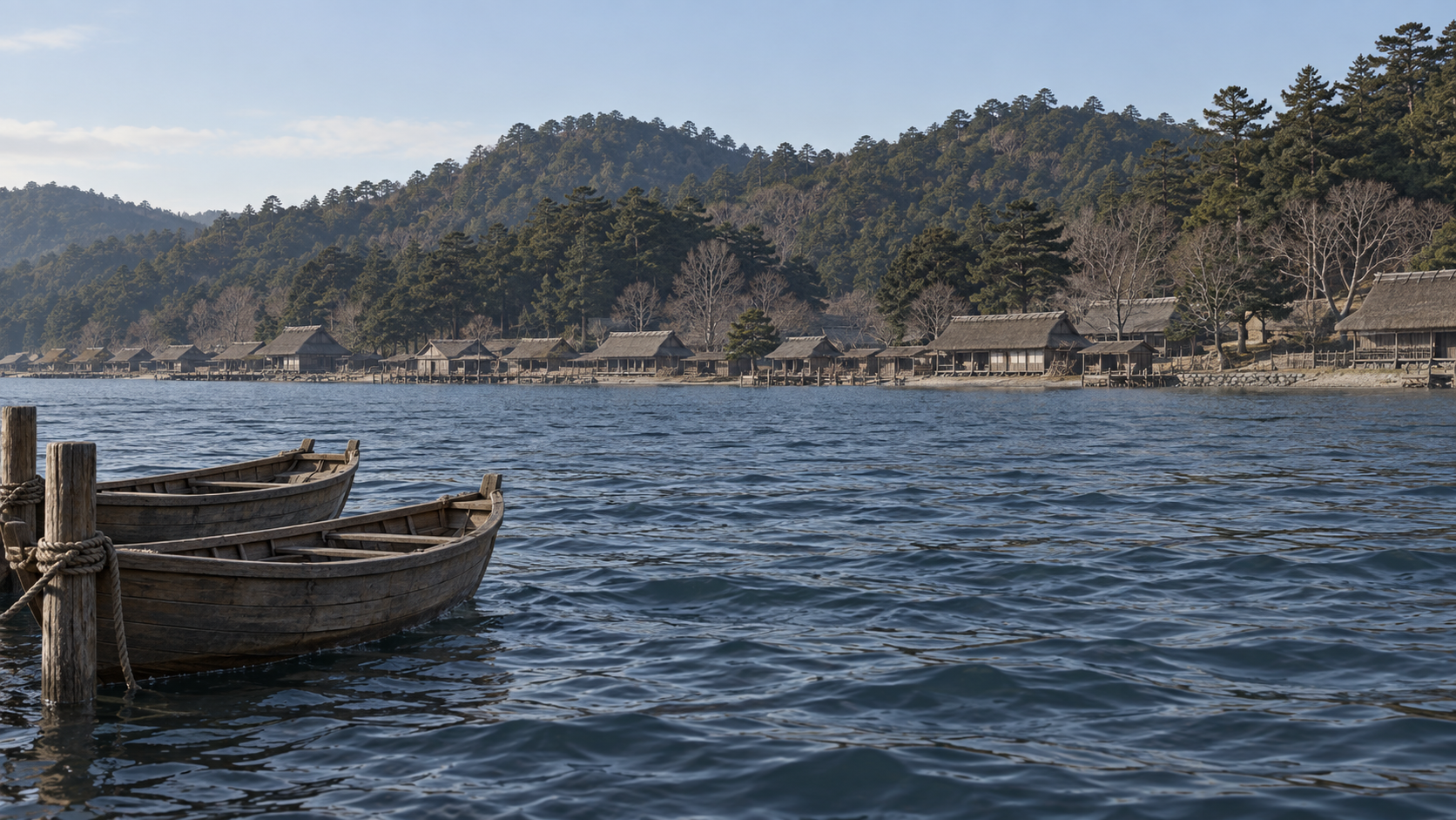
Scene 12
Returning the battle to its wider landscape
How did Minamoto forces break the Taira positions? The accounts examined here bring Noriyori’s main approach, Yoshitsune’s other approach, and Yukitsuna’s attack from the mountain side into view.
Set those movements beside the extended coastal positions and the relationship of mountains to sea. The battlefield becomes a place where several approaches intersected. The descent belongs within that spatial problem, alongside the other reported actions.
The location of the descent and the weight of each attack remain subjects of differing interpretations. The article leaves them open instead of filling the gaps with a warrior’s invented speech, a private thought, or a route drawn with unsupported precision.
A wider view brings Noriyori and Yukitsuna, reports heard in Kyoto, and movement toward the sea into the picture with Yoshitsune. The result is a history we can read through the interaction of several forces and through the limits of the records that describe them.
Editorial note: Historical statements follow institutionally published research, readings of classical texts and explanations of the records. Gyokuyo and Azuma Kagami are summarized through the Kobe City PDF; no original manuscript has been independently examined or authenticated. Kanezane's report was heard in Kyoto, while Azuma Kagami was compiled later. Kondo's Suma-centered reading and the museum's Hiyodorigoe-centered reading remain interpretations. Mikusa-yama, yamate, the descent site, exact routes, troop totals, complete death or vessel lists, and the decisive contribution of each attack remain unresolved. Munemori's letter does not directly prove unpreparedness or Go-Shirakawa's stratagem. The Nishi Ward page pairs 1184 with Juei 2 inconsistently; this account uses Juei 3 from the research explanations. Month and day retain the historical calendar, and the Kobe PDF's Genryaku 1 label is not treated as proof of an era change already occurring at the battle. The images are AI-generated concepts and three original schematics, rather than portraits, period photographs, manuscript copies or precise maps.
How to read this work
History, interpretation, and reconstruction
Separating the armies’ movements from the character of the surviving accounts reveals a battlefield wider than a single cliff.
This work is grounded in published sources and historical research. Interior thoughts, dialogue, and some visual details are cinematic reconstructions. Where historians disagree, the article presents the point as debated rather than settled fact.
Timeline
The story in time
People & terms
A guide for new readers
Key figures
- Minamoto no Noriyori
- Commander of the main approach, described as advancing along the coast toward Fukuhara.
- Minamoto no Yoshitsune
- Commander of the other approach, recorded as attacking Ichi-no-Tani.
- Tada Yukitsuna
- Named in Gyokuyo as attacking from the mountain side and taking the upland position.
- Kujo Kanezane
- Diarist who recorded news of the battle received in the capital; not a battlefield eyewitness.
- Taira no Munemori
- His letter preserved in Azuma Kagami offers an account from the side that had received messages concerning negotiations.
Glossary
- Genji / Minamoto 源氏
- Names used for the Minamoto family in this discussion. The shared family label does not establish unity among all its forces.
- Heike / Taira 平家・平氏
- Names used for the Taira in the accounts and the literary tradition discussed here.
- Ote 大手
- The main or frontal approach; the term associated here with Noriyori’s force.
- Karamete 搦手
- An approach from another side, associated here with Yoshitsune’s force; it does not by itself fix an exact route.
- Yamate 山手
- The upland or mountain-side position mentioned in the report concerning Tada Yukitsuna. Its precise identification is part of the debate.
- Gyokuyo 玉葉
- Kujo Kanezane’s diary. Its account of the battle records reports received in Kyoto.
- Azuma Kagami 吾妻鏡
- A later chronicle whose compilation is placed around 1300. Its battle account is distinguished from Kanezane’s early diary entry.
- Hiyodorigoe 鵯越
- A name connected with the famous descent; relating its use in the narrative to present-day terrain requires interpretation.
- Fukuhara 福原
- The coastal area associated with Kiyomori and the Taira’s return, discussed here in relation to the shore approaches and port.
Sources & method
How this article was built
This English edition reuses the successful earlier English draft against the fixed published Japanese article. It preserves twelve scene identities, five people, six timeline entries and eight sources. The added institutional description of Gyokuyo and the current Japanese images are incorporated. The account of several approaches remains an editorial connection of the evidence, without a conclusively decisive attacker or unrecorded words and motives.
The classical texts are accessed through the transcriptions and discussion published by Kobe City. We have not examined or authenticated original manuscripts. Gyokuyo records information heard by Kanezane in Kyoto; Azuma Kagami is a later compilation. Munemori’s letter is retained as a statement from one side, rather than direct proof of an unguarded army or a ruler’s private plan.
The Suma-centered interpretation associated with Kondo and the present-day Hiyodorigoe interpretation discussed by the Hyogo museum remain distinct. Mikusa-yama, yamate, the descent site, exact routes, troop numbers, and complete casualty or vessel lists are not resolved here. Historical month-and-day dates retain their old-calendar meaning. The conflicting era notation in the Nishi Ward page is not followed, and an era label in a modern transcription is not used to infer a contemporary change of era.
Editorial note on images: the scenes are AI-generated conceptual images, not authenticated portraits or photographs of the event. The three original diagrams are SHIGEKI's explanations, not copies of primary documents or measured maps. Their Japanese labels are retained and explained in English captions. Required credit remains created by SHIGEKI. Article-specific rights clearance is inherited from the completed Japanese review only after matching the current images' bytes and hashes. The associated film has Japanese audio; an English subtitle track has not been verified.
Sources
References and further reading
- Documentary Sources for Considering the Battle of Ichi-no-Tani 一ノ谷合戦を考えるための文献資料 Title translated editorially for reader convenience. Kondo / Kobe City 近藤好和/神戸市公開PDF Editorial English title. This article uses the published transcriptions and analysis of Gyokuyo and Azuma Kagami, principally PDF pages 1–7. Kondo’s Suma interpretation remains attributed; original documents have not been examined. Accessed 2026-10-09
- Examining the Battles of Ikuta-no-Mori and Ichi-no-Tani 生田森・一の谷合戦の実像 Title translated editorially for reader convenience. Hyogo Prefectural Museum of History 兵庫県立歴史博物館 Editorial English title. Used for conflicting geographical interpretations, the character of Kanezane’s reports, and the limitations of Munemori’s letter. The museum’s interpretation is identified as an interpretation. Accessed 2026-10-09
- History of Kobe’s Nishi Ward: The Medieval Period 西区の歴史 中世 Title translated editorially for reader convenience. Kobe City, Nishi Ward 神戸市西区 Editorial English title. Used for the political sequence and broad coastal positions. Its pairing of 1184 with Juei 2 is internally inconsistent; that era notation is not adopted. Accessed 2026-10-09
- Azuma Kagami — History and Narrative 吾妻鏡 歴史と物語 Title translated editorially for reader convenience. National Archives of Japan 国立公文書館 Editorial English title. The National Archives estimates compilation around 1300; the exact compiler and date are unresolved. This is a later chronicle, not an eyewitness account of the 1184 battle. Accessed 2026-10-09
- The Tale of the Heike Exhibition 平家物語館 Title translated editorially for reader convenience. Hyogo Literary Museum / Hyogo Prefectural Museum of Art ネットミュージアム兵庫文学館/兵庫県立美術館 Editorial English title. Used for debates connecting narrative places with modern locations. It does not establish a definitive list of individual warriors’ deaths. Accessed 2026-10-09
- Fukuhara, the Capital 福原の都 Title translated editorially for reader convenience. Hyogo Prefectural Museum of History 兵庫県立歴史博物館 Editorial English title. Used for the historical setting of Fukuhara and the port of Owada-no-Tomari. Accessed 2026-10-09
- Glossary for Journeys Through Hyogo’s Legends ひょうご伝説紀行 用語解説 Title translated editorially for reader convenience. Hyogo Prefectural Museum of History 兵庫県立歴史博物館 Editorial English title. Used for names and the sequence placing Yashima and Dan-no-Ura in 1185. Accessed 2026-10-09
- Gyokuyo: collection description 玉葉 Title translated editorially for reader convenience. Imperial Household Agency, Archives and Mausolea Department 宮内庁 書陵部 Identifies the work as Kujo Kanezane's diary. A collection description of a surviving manuscript is not an independent full reading of the original battle entry. Accessed 2026-10-09
Continue reading
More stories from Shigeki
Shigeki English
Sakai’s Merchant City: Trade, Self-Government and Survival
A port, a merchant council and town communities—from changing authority to rebuilding after fire.
- When From the later fifteenth century through the Sengoku period, the fire of 1615 and early Edo-period reconstruction.
- Where Sakai, in present-day Osaka Prefecture, where maritime routes met roads on land.
Shigeki English
The Aburanokōji Incident: After Leaving the Shinsengumi
A separation in spring, a new base in summer, and two successive attacks.
- When Kyoto in Keiō 3 (1867). The incident’s historical date corresponds to December 13, 1867.
- Where Kyoto: the guards’ successive bases, the Aburanokōji attack site and the later place of remembrance.