
SHIGEKI ENGLISH STORYEN
Japanese history in English
The Battle of Tabaruzaka: Seventeen Days Seen Beyond the Slope
Artillery, surrounding battlefields, treatment sites and the evidence used to read a landscape of war.
Follow Tabaruzaka’s fighting of 4–20 March 1877 through surrounding positions and later investigation. Distinguish measured finds from donated objects, confirmed marks from assumptions, and modern reconstruction and historical prints from eyewitness records.
At a glance
Before you enter the story
- When
- 4–20 March 1877, with later relief of Kumamoto Castle and investigations in 2009
- Where
- Tabaruzaka, Futamata, surrounding Kumamoto battlefields and places of treatment
- Key figures
- Government and Satsuma forces, Local residents and battlefield investigators, People preserving and presenting the sites
- What was at stake
- How can terrain, objects and later displays reveal the extent of the fighting while preserving their different evidential limits?
Why this story matters
The larger history behind the turning point
A famous battlefield name can narrow attention to one dramatic spot. Connecting the main road with artillery, alternative positions and treatment sites brings the wider operation into view. Keeping the March breakthrough separate from the April entry into Kumamoto Castle also prevents one event from becoming the end of the entire conflict.
The evidence visible today has different histories. A surveyed object, a donated find, a photograph, a reconstructed building and a colour print each answer different questions. Distinguishing them makes interpretation more useful without denying the value of memory or the work of presenting history.
Historical context
What an international reader needs to know
A battle within a longer conflict
The Seinan War is commonly known in English as the Satsuma Rebellion. This article focuses on the fighting around Tabaruzaka and the wider places connected with it, rather than offering a complete campaign history. Government forces and Satsuma forces identify the opposing sides in this account.
The seventeen-day period runs from 4 to 20 March 1877. The government’s entry into Kumamoto Castle on 14 April is a later event. The national historic-site designation also covers more than the main road, so neither the period nor the named place should be expanded into the whole war.
Original evidence and later presentation
A trench is a narrow area opened for archaeological investigation. Finds recorded in relation to terrain and other objects can carry information that a donated object with less precise context may not retain. Both may be useful, but the extent of known context needs to be stated.
Dankon-no-ie is a reconstructed building used to communicate history. Nishiki-e are colour woodblock prints, here discussed as representations informed in part by reporting and hearsay. Modern photographs of places and generated conceptual scenes have different purposes again. The article makes these categories visible in its captions.
Watch the film
See the story in motion
The film currently uses Japanese audio. This English article provides the context and source trail; it does not imply that an English subtitle track is available.
Scene 01
Beyond the slope
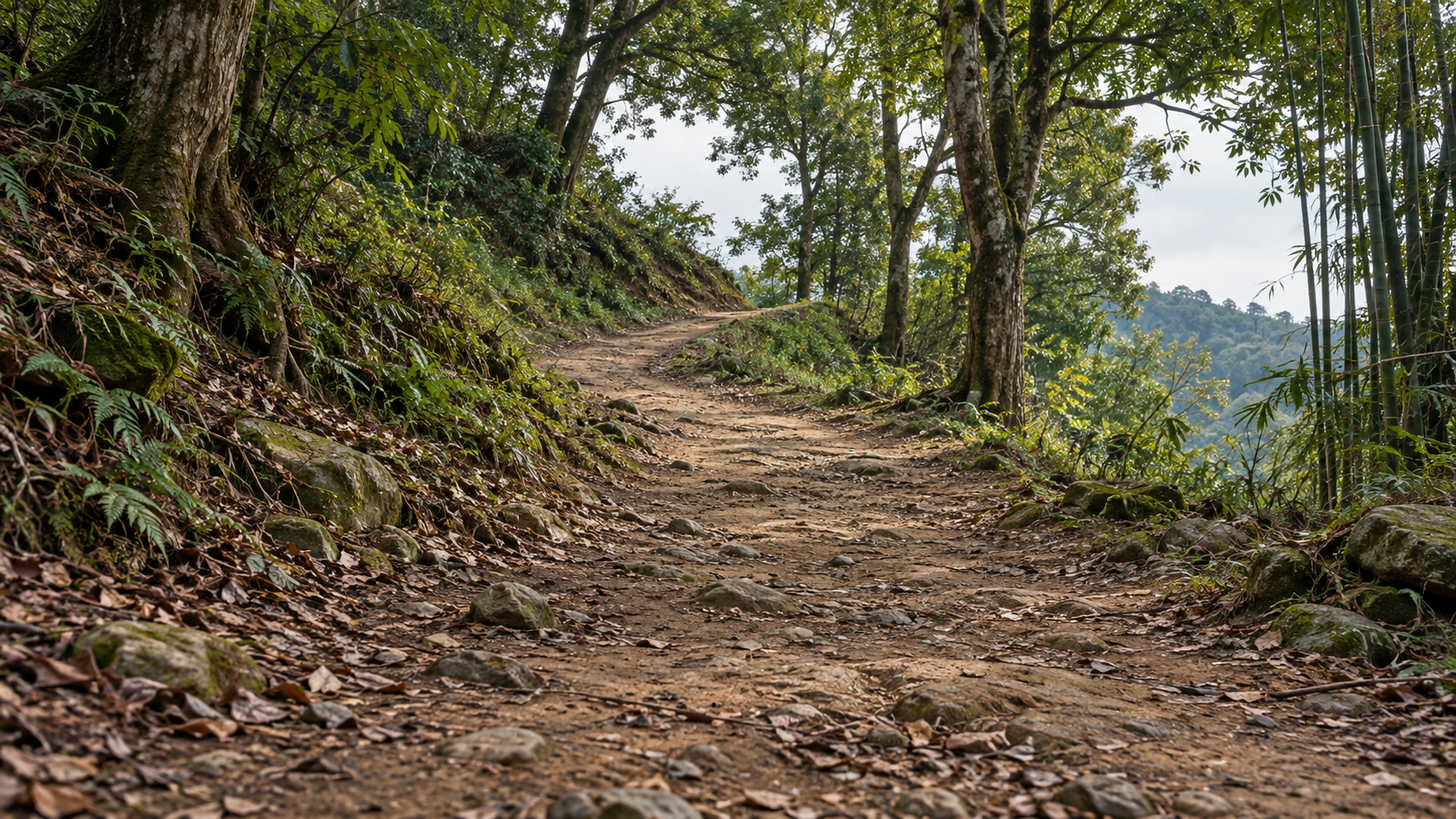
Tabaruzaka lies north of Kumamoto. The road climbs through trees and bends rather than presenting a towering cliff. Government and Satsuma forces fought around it from 4 to 20 March 1877, during the conflict known as the Satsuma Rebellion or Seinan War.
Seventeen days identifies the duration, but does not explain the whole battlefield. Alongside the road were artillery positions, other contested routes and places receiving wounded people. The struggle cannot be confined to the strip of ground beneath a visitor’s feet.
Looking away from the slope temporarily makes it possible to follow those relationships. Terrain and recorded finds offer clues to the wider setting, while later investigation and interpretation shape what can be understood from the quiet landscape today.
Scene 02
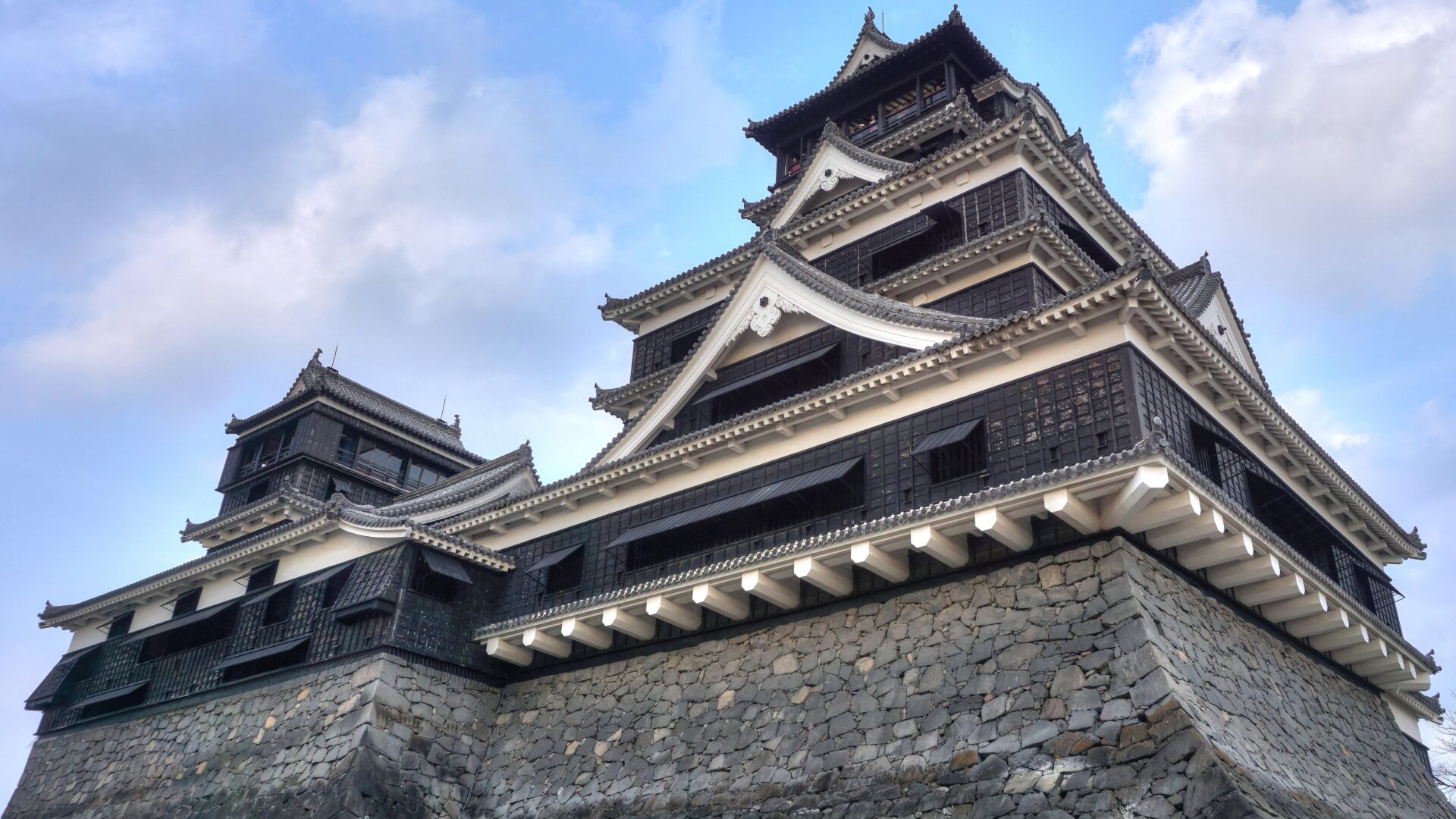
Kumamoto Castle beyond the battlefield
Kumamoto Castle was the destination beyond the fighting. Satsuma forces advancing north besieged the castle, and the government sent troops to relieve it. Tabaruzaka was one of the battlefields separating the besieged position from the approaching forces.
The Agency for Cultural Affairs explains that government forces placed their headquarters at Konoha and began attacking Tabaruzaka on 4 March. The defending Satsuma forces had built protective works. Advancing uphill therefore meant approaching a prepared position, rather than simply reducing the distance to the castle.
Two dates remain separate: Tabaruzaka fell on 20 March, while government troops entered Kumamoto Castle on 14 April. Breaking through at the slope did not immediately end the entire siege or the wider war. Fighting continued in the intervening period.
Scene 03
Why a frontal approach was not enough
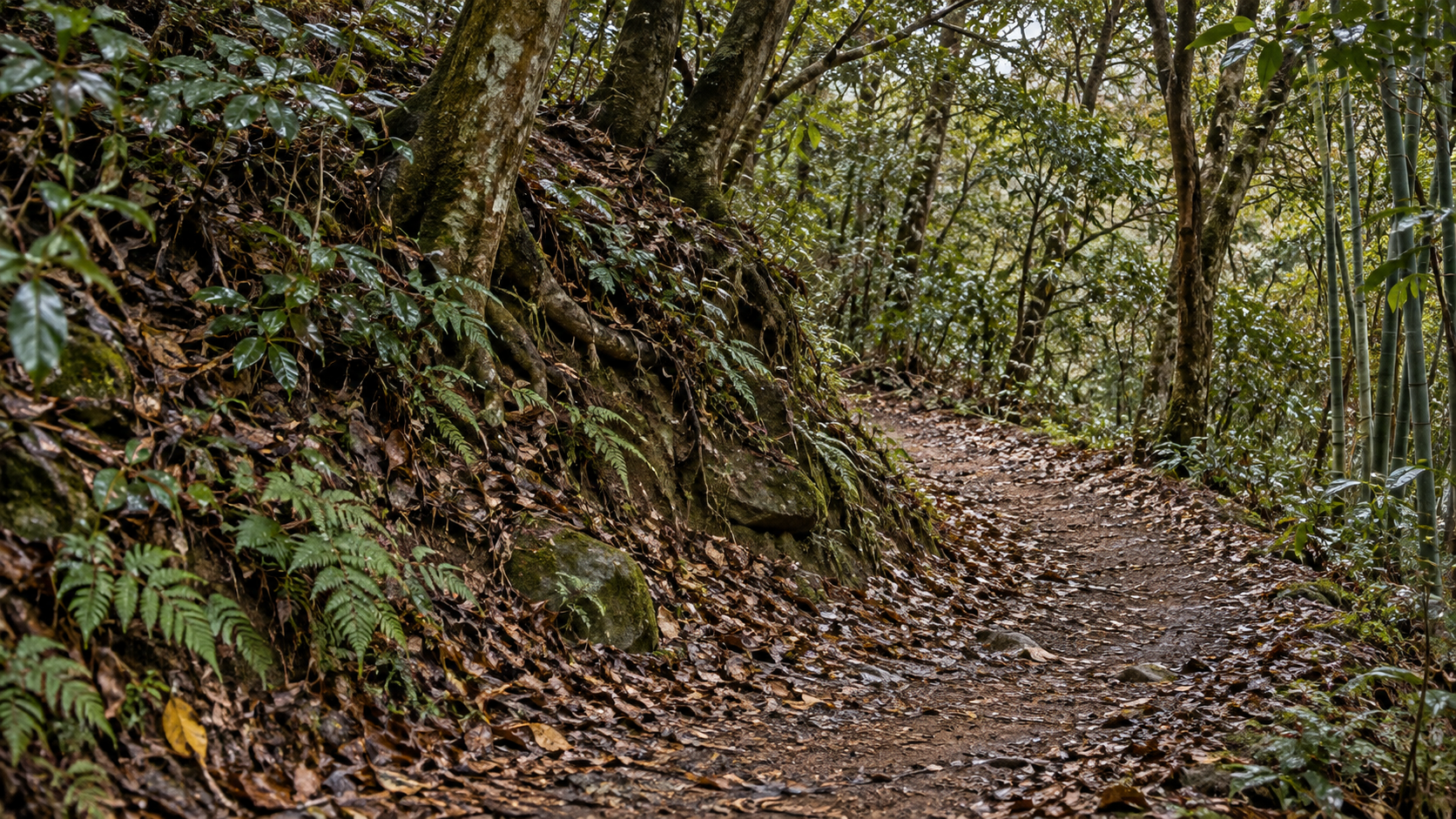
The government forces needed to advance, while Satsuma forces opposed them from prepared positions. The Agency’s account states that two general attacks failed to achieve results. The history concerns a contested route, not merely an inconvenient gradient.
A visitor can now walk forward one step at a time, but during the fighting the opposing force occupied the ground ahead. Considering bends, slopes and prepared defences helps explain why length and height alone cannot measure the difficulty of progress.
This is a way to relate terrain to the institutional account, rather than a reconstruction of a particular soldier’s view. To understand the subsequent change, the focus moves west of Tabaruzaka to the Futamata plateau and a position overlooking the road from another direction.
Scene 04
Artillery from the side
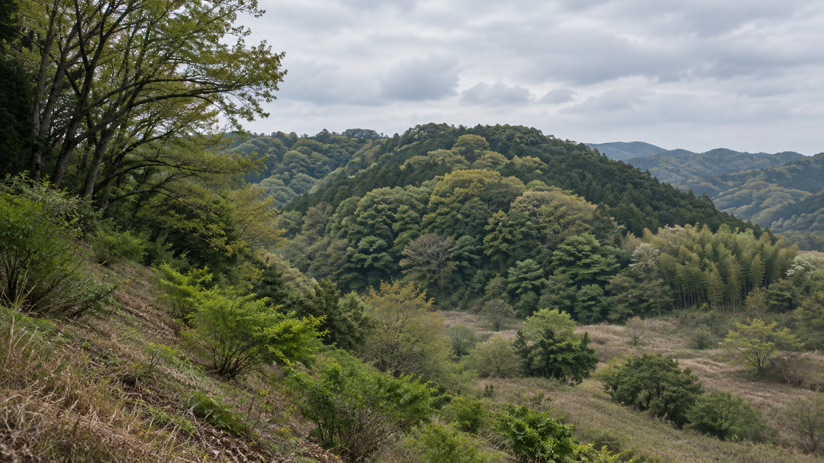
Government forces established artillery positions on the Futamata plateau. The Agency’s explanation describes fire against the flank of the Satsuma forces, followed by Tabaruzaka’s fall during the general attack on 20 March. The relationship extends beyond the main road.
A view restricted to troops approaching the position from the front would miss that lateral attack. Reading the route together with the surrounding higher ground changes the battlefield’s outline: movement on the road and pressure from outside it belonged to the same contest.
The record of an artillery position does not fix every gun’s precise location or the trajectory of every shot. The article follows the relationship between plateau and road without drawing an unsupported ballistic reconstruction. The conceptual ridge is explanatory, rather than a measured site plan.
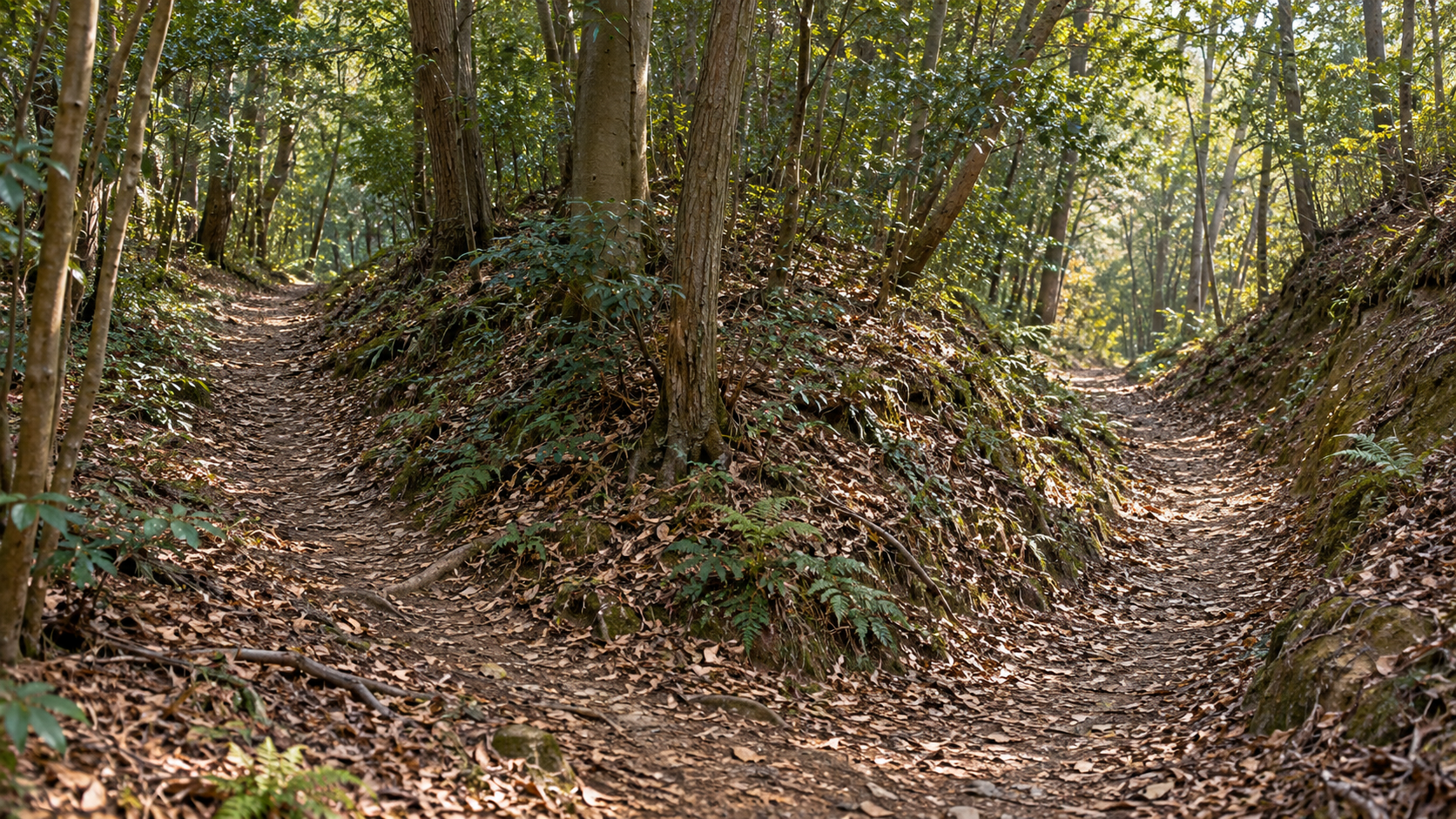
Scene 05
Other contested places
Yokohirayama and Kichiji Pass also preserve places connected with fighting. The national designation for Seinan War sites does not refer only to the main road at Tabaruzaka. It includes dispersed battlefields and places associated with the conflict.
Securing one location did not remove opposition from every later position or alternative route. The interval between the fall of Tabaruzaka and entry into Kumamoto Castle is one reason not to treat the slope’s capture as the end of the whole war.
Tabaruzaka, Futamata, Yokohirayama and Kichiji Pass can be considered as related locations rather than isolated names on a present-day map. Their connection broadens the account for both attacking and defending forces, while leaving the evidence for individual movements to be examined.
Scene 06
Walking the land with local knowledge
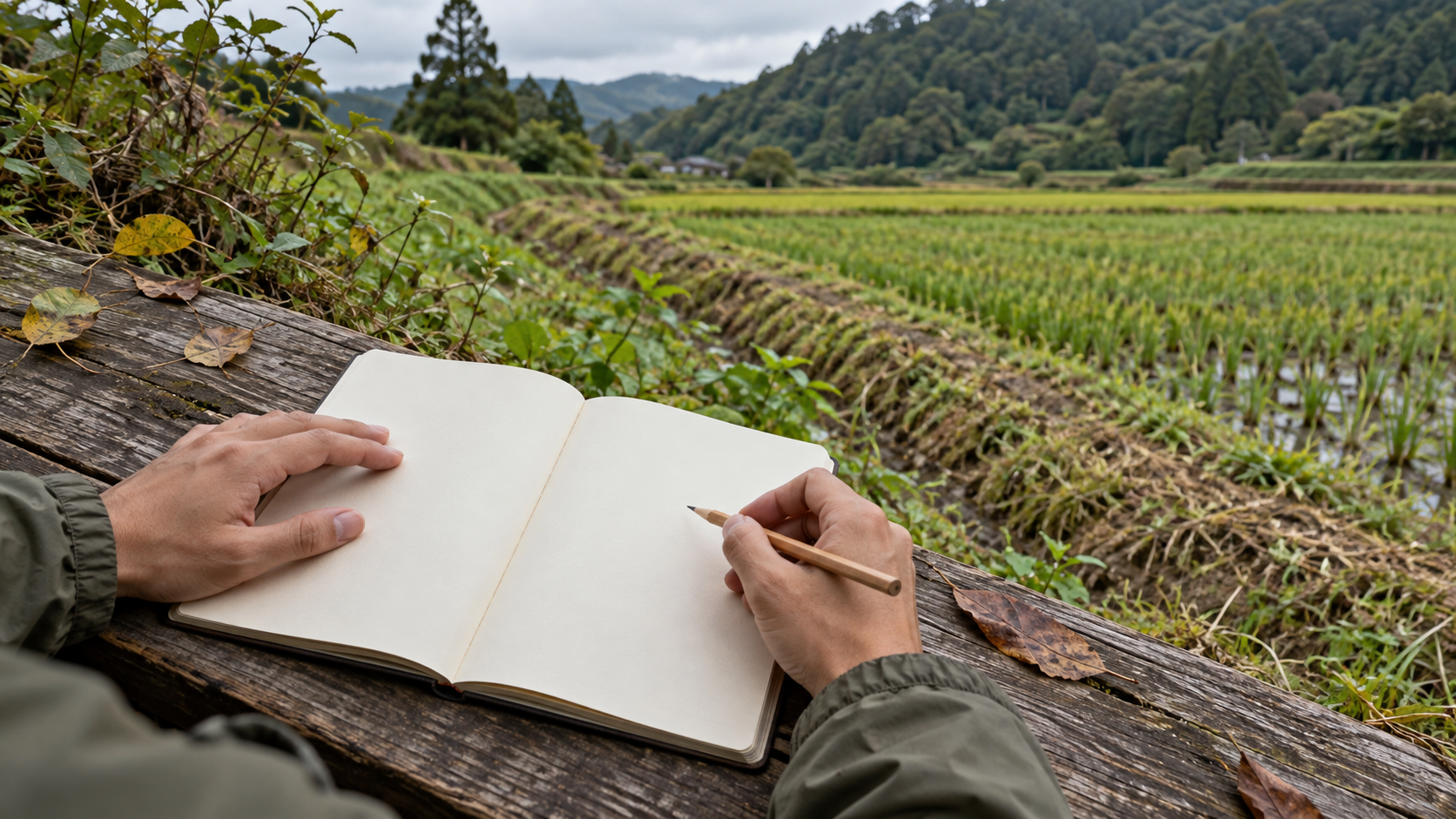
More than a century after the fighting, local knowledge formed part of investigation. Kumamoto City’s report records walking surveys and interviews around the Toyooka plateau between October and December 2009. Investigators walked the ground with residents.
Recollections of where bullets had appeared during cultivation, the circumstances of discoveries and observed traces on gravestones were recorded on maps. Experience of using the land could help identify places to investigate, even after the generation that witnessed the fighting had gone.
The report also states that rifle bullets were not collected during that walking survey and that objects were donated by local people. Donated finds and objects recovered with measured locations both provide clues, but they do not necessarily carry the same information about position and context.
Scene 07
An object and its recorded location
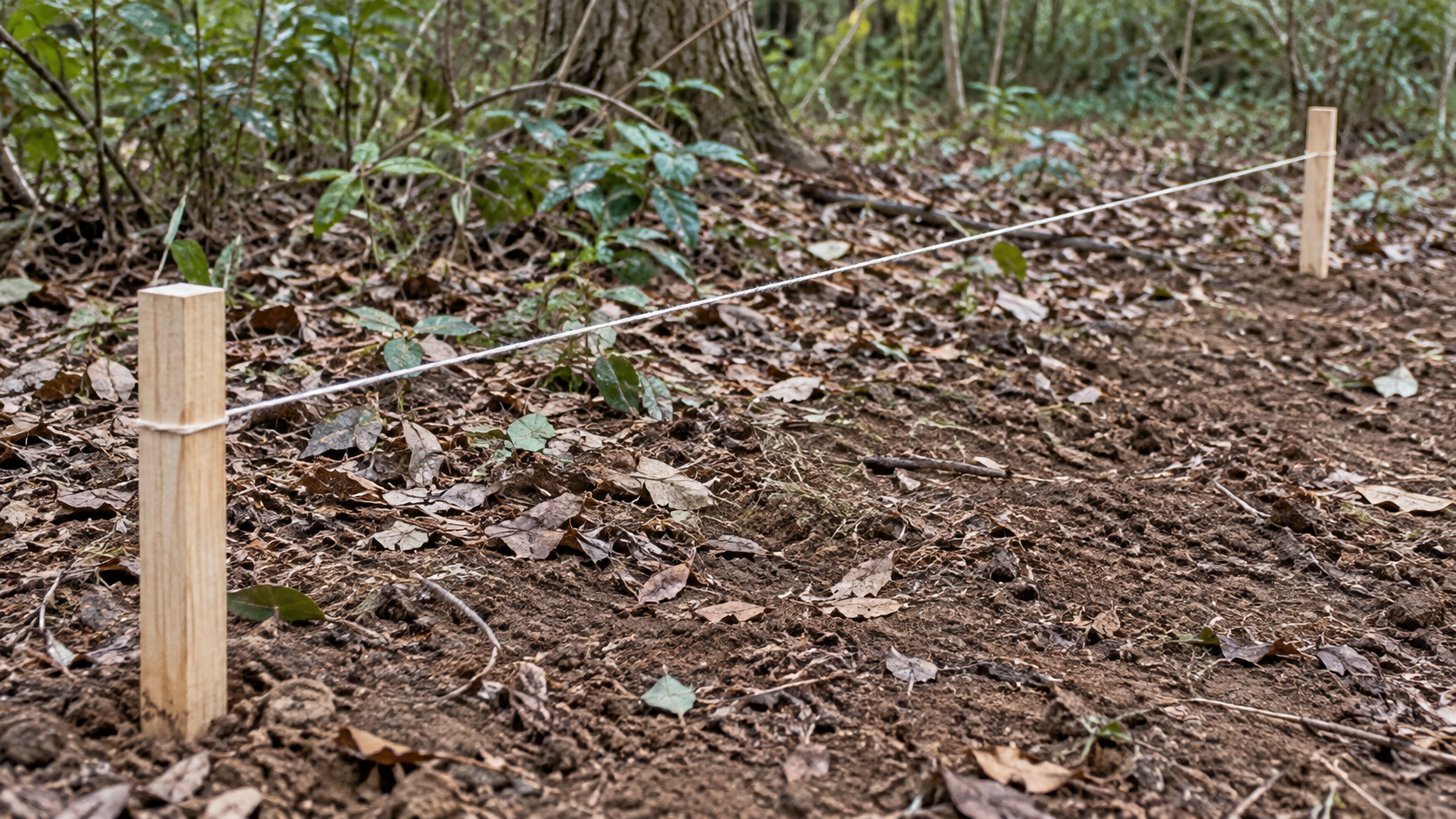
The work went beyond interviews. The municipal report explains surveying the terrain, using metal detectors to search for objects, recording their positions and opening narrow excavation areas, or trenches, where needed to examine the ground.
The location and circumstances of discovery matter alongside the object itself. A bullet removed without context is a small metal object; a recorded relationship with terrain and other finds can make it evidence for studying the battlefield.
A point on a map does not identify a soldier by name or establish every action at a particular instant. Investigation increases what can be checked by comparing physical material with written accounts. The generated recording scene does not represent an actual find or supply coordinates absent from the sources.

Scene 08
Is every hole a bullet mark?
A small hole in wood or stone can invite an immediate image of gunfire. Appearance alone is not enough to identify a bullet mark. The city report describes observing wood grain and changes caused by impact when distinguishing damage from knot holes.
Examples with surviving rifle bullets provide comparisons. Depressions in stone are assessed through surrounding breakage as well as size. This separates the impression created by a battlefield location from conclusions based on examining the material itself.
Careful identification does not deny intense fighting. It prevents later imagination from multiplying its traces. The conceptual timber image is not a specimen offered for independent diagnosis, and this article does not claim to authenticate an individual mark from its photograph.

Scene 09
Places for treating the wounded
The war’s extent appears in places of treatment as well as attack. The historic-site explanation includes major dressing stations established by government forces at Shonenji and other locations. Behind the firing positions were places receiving injured people.
Following these sites changes the questions asked of the landscape. Alongside who captured a position is the question of how the wounded were supported. The article identifies that aspect without inventing a patient, a medical procedure or an individual account of suffering.
The reconstructed building beside the Tabaruzaka museum also presents the history of the Hakuai-sha, which later became the Japanese Red Cross Society. That present exhibition should be distinguished from a military treatment facility at another location. Both communicate aspects of the war through different places and evidence.
Scene 10
The building visitors see today
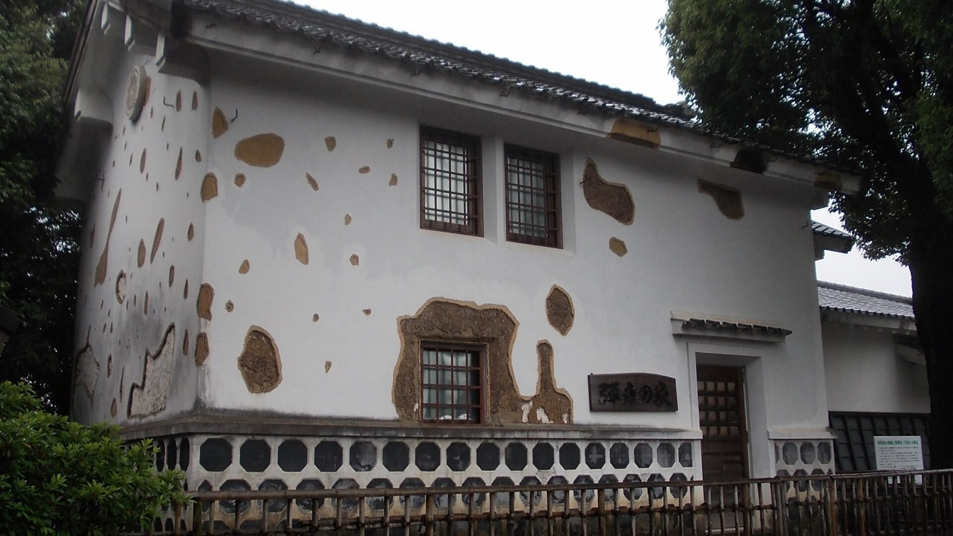
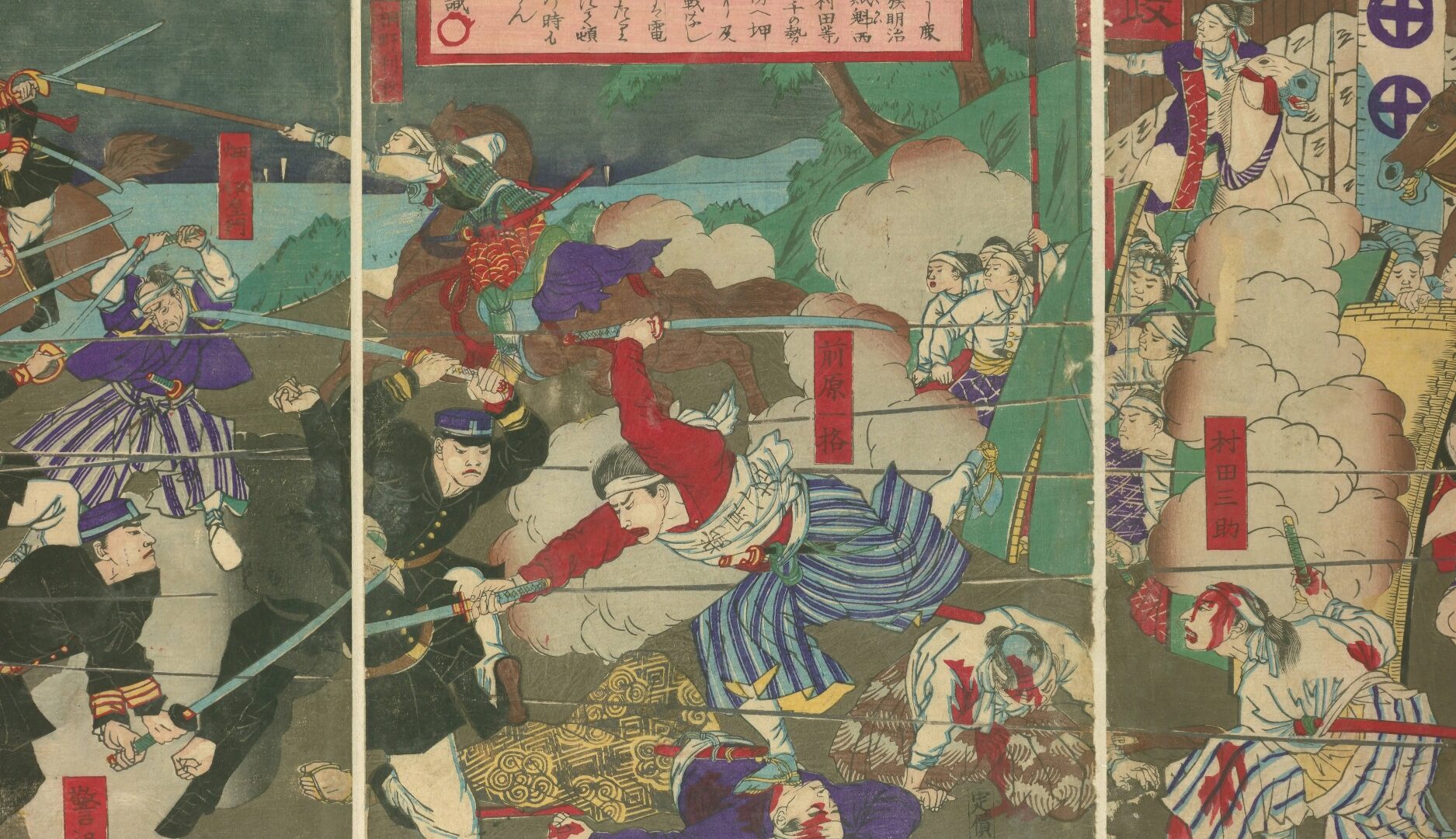
The nearby Dankon-no-ie, or house of bullet marks, strongly evokes the fighting. The Ministry of Land, Infrastructure, Transport and Tourism explanation identifies it as a reconstruction of a storehouse formerly standing nearby, rather than the intact building surviving from 1877.
A reconstructed building can communicate a lost appearance, while a surviving period object may permit direct examination of original material. Both can be meaningful, but they are different kinds of evidence. The present landscape brings these different dates together.
After imagining the fighting through a display, a visitor can ask what evidence underlies its presentation. That question connects enjoyment of a reconstruction with careful reading of surviving material. The photograph here shows the modern reconstructed building, not an eyewitness view of the war.
Scene 11
What a dramatic print can tell us
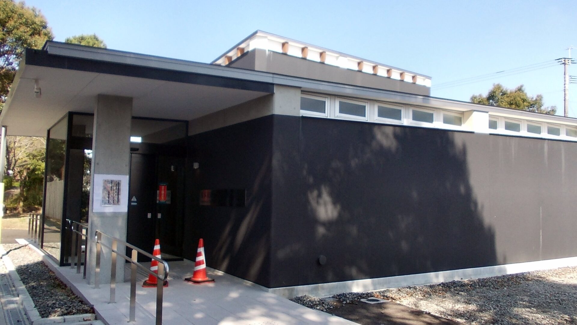
Colour woodblock prints of the Seinan War brought visual information to people interested in the conflict. The municipal museum explains that many incorporated imagination or elaboration based on newspaper reporting and hearsay.
Dramatic action and detailed drawing do not make every element an eyewitness record. Questions about the maker, available information and intended communication apply to prints as well as reconstructed buildings. The image’s origin affects which historical questions it can answer.
A print is not meaningless because part of it differs from events. It can provide evidence about what audiences were shown and how war was understood. The reproduced detail is therefore presented as a historical printed representation, rather than a combat photograph or verified map of troop positions.
Scene 12
Return to the road
Returning to Tabaruzaka, the road now sits within a wider relationship: Kumamoto Castle beyond it, artillery at Futamata, other contested locations and treatment sites behind the fighting. Understanding the slope means extending the view beyond the road’s edges.
Later people also contributed to what can be followed today. Investigators recorded material evidence, residents described places where finds had appeared, and interpreters reconstructed a lost building’s appearance. Checking, recording and communicating continued after the battle itself.
The seventeen days consequently belong to more than a story about one uphill route. Moving between terrain, records, surviving objects and displays reveals both the spread of war and the later work of understanding it.
Image note: conceptual explanatory scenes use AI-generated images. Site photographs and the historical print carry individual creator, collection, source and licence information in their captions. Generated scenes are not archaeological or eyewitness evidence.
How to read this work
History, interpretation, and reconstruction
Tabaruzaka is better understood by comparing surrounding battlefields and different kinds of investigated and displayed evidence than by viewing one slope alone.
This work is grounded in published sources and historical research. Interior thoughts, dialogue, and some visual details are cinematic reconstructions. Where historians disagree, the article presents the point as debated rather than settled fact.
Timeline
The story in time
-
Tabaruzaka falls; this is not the end of the entire Seinan War.
Sources: s01 -
Government forces enter Kumamoto Castle.
Sources: s01 -
The Hakuai-sha is established during the conflict.
Sources: s06 -
The Hakuai-sha is renamed the Japanese Red Cross Society.
Sources: s06 -
Walking surveys and interviews are conducted around the Toyooka plateau. Survey recoveries and donated finds remain distinct.
Sources: s04
People & terms
A guide for new readers
Glossary
- Seinan War 西南戦争
- The 1877 conflict commonly known in English as the Satsuma Rebellion; Tabaruzaka was one part of it.
- Futamata plateau 二俣台地
- The position west of Tabaruzaka associated in the institutional account with government artillery.
- Major dressing station 大繃帯所
- A military place for treating wounded people, distinguished from later exhibitions about humanitarian activity.
- Hakuai-sha 博愛社
- The organization established in 1877 and renamed the Japanese Red Cross Society in 1887.
- Dankon-no-ie 弾痕の家
- The reconstructed building near the museum, rather than an intact storehouse surviving unchanged from 1877.
- Nishiki-e 錦絵
- Colour woodblock prints; their representation of the war is not automatically an eyewitness record.
- Trench トレンチ
- A narrow excavation area used to investigate ground and context.
Sources & method
How this article was built
All twelve Japanese scenes, six timeline entries and ten source identifiers are retained. Source titles are editorial translations. The two report chapters remain parts of one report, and photo-source records are identified as image documentation rather than extra independent battlefield histories.
The account preserves the distinction between recorded recovery and donation, an observed hole and a confirmed impact mark, reconstruction and surviving material, and reporting-based prints and eyewitness records. No surveyed coordinate, precise gun trajectory or individual soldier’s action is supplied beyond the sources.
Eight conceptual generated scenes remain distinct from three credited site photographs and one historical print detail. Creator names, dates, collection identifiers and image-specific licences are translated in the captions. CC BY and CC BY-SA statements apply to the individual photographs; they are not declarations of the article’s overall licence.
Sources
References and further reading
- Seinan War sites: national cultural property database 国指定文化財等データベース 西南戦争遺跡 Title translated editorially for reader convenience. Agency for Cultural Affairs 文化庁 Used for the attacks, Futamata artillery, 20 March capture, surrounding positions and treatment sites. It does not establish precise gun positions or trajectories. Accessed 2026-10-31
- Visit the Kumamoto City Tabaruzaka Seinan War Museum 熊本市田原坂西南戦争資料館へ行こう!! Title translated editorially for reader convenience. Kumamoto City 熊本市 Used for the seventeen days, reconstruction and the relationship between prints, reporting, hearsay and elaboration. Accessed 2026-10-31
- Tabaruzaka comprehensive investigation report, Chapter IV: methods 田原坂総括調査報告書 第IV章 調査の方法 Title translated editorially for reader convenience. Kumamoto City Board of Education 熊本市教育委員会 Printed pages 21–22 support survey methods and assessment of marks on wood and stone. No independent authentication of individual finds or reproduction of report plates is claimed. Accessed 2026-10-31
- The same report, Chapter V: distribution interviews and investigated areas 同報告書 第V章 分布聞取調査・各調査地の概要 Title translated editorially for reader convenience. Kumamoto City Board of Education 熊本市教育委員会 Printed page 30 supports the 2009 walking survey, interviews and donated objects. This is another chapter of the same report, not an independent source from Chapter IV. Accessed 2026-10-31
- Multilingual tourism explanations: Tabaruzaka museum and park 地域観光資源の多言語解説文DB 田原坂資料館・公園 Title translated editorially for reader convenience. Ministry of Land, Infrastructure, Transport and Tourism / Kumamoto City regional council 国土交通省(地域協議会:熊本市) Used for the reconstructed storehouse and Hakuai-sha display. The municipal connection is retained; this is not independent excavation evidence from the city account. Accessed 2026-10-31
- History and chronology 歴史・沿革 Title translated editorially for reader convenience. Japanese Red Cross Society 日本赤十字社 Used for establishment in 1877 and renaming in 1887. Military treatment facilities and the society’s activities are not conflated. Accessed 2026-10-31
- Kumamoto Castle – panoramio (4).jpg 熊本城 - panoramio (4).jpg Title translated editorially for reader convenience. Kurofune くろふね Photograph under CC BY 3.0. The licence concerns this image, not the whole article. Source page identifies its creator and date. Accessed 2026-10-31
- Dankon-no-ie.jpg Dankon-no-ie.jpg Title translated editorially for reader convenience. STA3816 STA3816 Photograph under CC BY-SA 4.0. The licence concerns this image, not the whole article. It depicts the reconstructed building. Accessed 2026-10-31
- Print of fierce fighting at Tabaruzaka: frame 4 熊本縣田原坂撃戰之圖・国立国会図書館 コマ4 Title translated editorially for reader convenience. National Diet Library 国立国会図書館 Collection PID2542883, frame 4, within the recorded public-domain internet-access scope. This source and image status do not license the entire article. Accessed 2026-10-31
- Kumamoto City Seinan Civil War Museum.jpg Kumamoto City Seinan Civil War Museum.jpg Title translated editorially for reader convenience. STA3816 STA3816 Photograph under CC BY-SA 4.0. The licence applies to the identified photograph rather than the entire article. Accessed 2026-10-31
Continue reading
More stories from Shigeki
Shigeki English
Kobayakawa Hideaki after Sekigahara: Work beyond Okayama’s Keep
The outer moat offers a way into a short period of castle government.
- When Hideaki’s Okayama rule, 1600–1602; earlier construction in 1597 and later changes considered separately
- Where Okayama Castle, its outer enclosures and former western moat; Bizen and Mimasaka
Shigeki English
Passing Hakone Checkpoint: Identity, Direction and Travel Documents
A pass mattered, but the inspection depended on more than possessing paper.
- When Edo-period Hakone; establishment at the present location around 1619, regulations of 1711 and later reconstruction
- Where The Tokaido road between Lake Ashi and the surrounding mountains at Hakone