
SHIGEKI ENGLISH STORYEN
Japanese history in English
Tsushima in 1274: What Happened Before the Mongol Invasion Reached Hakata?
A sea route, resistance at Sasuura, harm to the islanders and the memories that survived.
Before invading forces reached Hakata in 1274, they attacked Tsushima. Follow the island's position along the sea route, the account of So Sukekuni's resistance and later places of remembrance. Local traditions and mainland scroll imagery reveal different parts of the Bun'ei invasion.
At a glance
Before you enter the story
- When
- Diplomatic contacts in 1268; Bun'ei invasion in 1274; Hakata defenses in 1276; Koan invasion in 1281; later commemoration
- Where
- Tsushima, between the Korean Peninsula and Kyushu; Sasuura, now Komodahama, with Iki and Hakata farther along the campaign
- Key figures
- So Sukekuni, remembered for resistance on Tsushima, Islanders affected by the invasion, Takezaki Suenaga, associated with mainland fighting and the scrolls
- What was at stake
- How can we recover the island's experience without merging it into Hakata's battle or the outcome of the later invasion?
Why this story matters
The larger history behind the turning point
Starting with Tsushima changes the scale of the story. The mainland fighting comes after encounters that affected warriors and inhabitants of the islands along the sea route.
The account also shows how to read different kinds of evidence together. Compiled narratives, a participant-centered scroll and later monuments contribute to history through distinct perspectives and dates.
Historical context
What an international reader needs to know
Places across the sea
Tsushima is an island between the Korean Peninsula and Kyushu, the southwestern main island of Japan. Iki lies farther toward Kyushu; Hakata Bay is on Kyushu's northern coast. These names identify separate settings connected by the campaign.
Sasuura is the locality associated with the landing on Tsushima. Komodahama is the present coastal name used in the adopted public explanations. The nearby Sasu River mouth and shrine help orient the reader, while reclamation and harbor works mean that today's shore is not an unchanged medieval map.
The National Archives describes the invading coalition in terms of Yuan and Goryeo forces, among others. Yuan refers to the imperial power associated with Kublai Khan; Goryeo is the kingdom on the Korean Peninsula. The broad phrase Mongol invasion does not supply the composition or precise numbers of each group at Sasuura.
Names, institutions and evidence
Bun'ei and Koan are Japanese era names used for the invasions of 1274 and 1281. Genko is a Japanese term for the Mongol invasions. The years identify different campaigns; no detailed historical month or day is silently converted into a modern calendar date here.
Bakufu, or shogunate, means the warrior government. Gokenin were its retainers; the defense orders discussed here concern those holding land in Kyushu. Dazaifu served diplomatic and defensive functions in Japan and appears in the account of the letter arriving in 1268.
So Sukekuni's alternate written personal name refers to the same defender in the city's account. The Hachiman Gudokun is a later compilation, the Mongol Invasion Scrolls convey a participant's perspective and later towers or rites concern remembrance. The date and purpose of each kind of evidence shape what it can tell us.
Watch the film
See the story in motion
The film currently uses Japanese audio. This English article provides the context and source trail; it does not imply that an English subtitle track is available.
Scene 01
Before Hakata, there was Tsushima
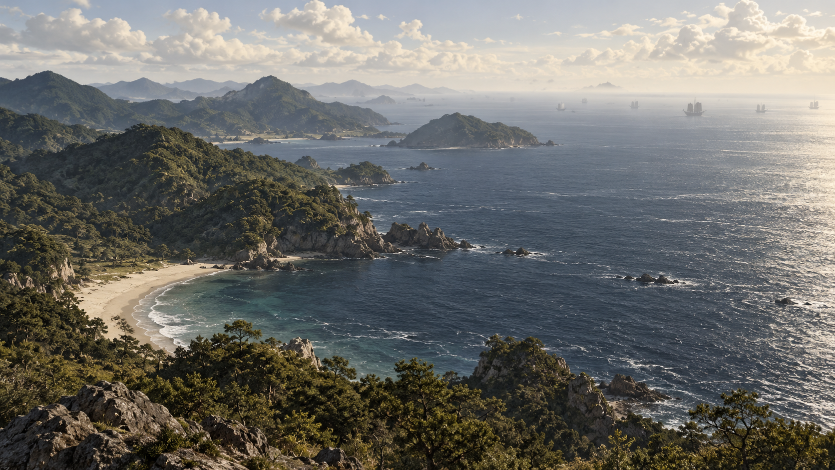
Bun'ei 11, the year 1274. For many readers, the Mongol invasions of Japan bring to mind fighting around Hakata Bay. Yet before the invading forces reached that coast, they attacked an island lying across the sea: Tsushima.
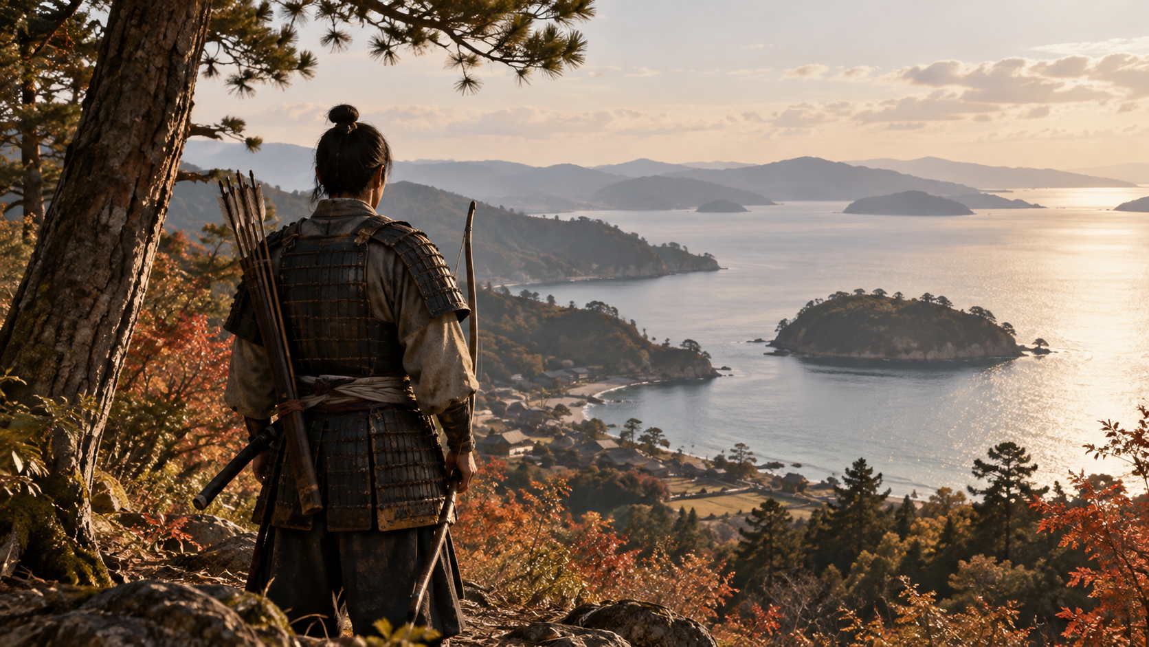
The name So Sukekuni survives in accounts of the warriors who met the invasion there. Japanese sources use two different written forms for his personal name. Both refer to the man remembered for opposing the landing on Tsushima, rather than to two commanders whose separate careers can be reconstructed.
The island's experience also extends beyond its named warriors. Tsushima Museum describes severe harm said to have fallen on Sukekuni's family and the islanders. Its account invites us to consider the people living behind the shore as part of the history of the invasion.
This article approaches the Bun'ei invasion from that island. It follows the sea route, the resistance associated with Sasuura and the ways later generations remembered the dead. Each offers a different view of what happened before the campaign reached the better-known battlefield at Hakata.
The surviving evidence has its own geography and history. A picture of fighting on the mainland, an account compiled after the events and a monument erected later cannot answer every question in the same way. We begin with the island's place along the route across the sea.
Scene 02
An island along a sea route
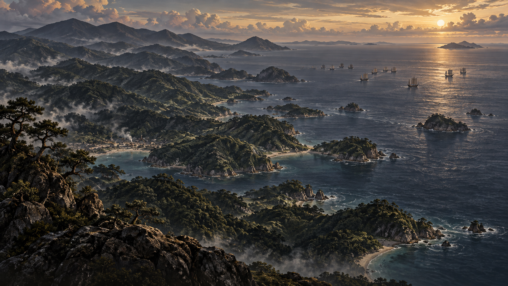
Tsushima lies between the Korean Peninsula and Kyushu. To its north is the peninsula; toward the south are Iki and the mainland of Kyushu. Tsushima City's geographic description presents a long, narrow island with mountainous land reaching toward the coast.
Looking at a map with attention fixed on the mainland can make an island appear isolated. From the perspective of travel by ship, the water connects those places. Tsushima occupies a position along that connection, and its location provides a starting point for understanding the campaign of 1274.
The invasion did not first become a local event when ships appeared at Hakata. Forces attacked Tsushima and Iki before reaching northern Kyushu. Following that sequence brings the islands into the account and prevents the mainland battle from standing in for every experience of the campaign.
This broad progression does not establish the exact course followed by every vessel. The evidence adopted here does not fix distances between ships, a single formation or a detailed timetable for the whole fleet. The sea route explains the relationship among places without supplying an exact operational map.
On Tsushima itself, a coast was a meeting point between people arriving by sea and those on land. The island's position brought it into the invasion before Hakata. Geography helps explain that order; the records of each place help us understand what can be said about the events there.
Scene 03
The years between a letter and an invasion
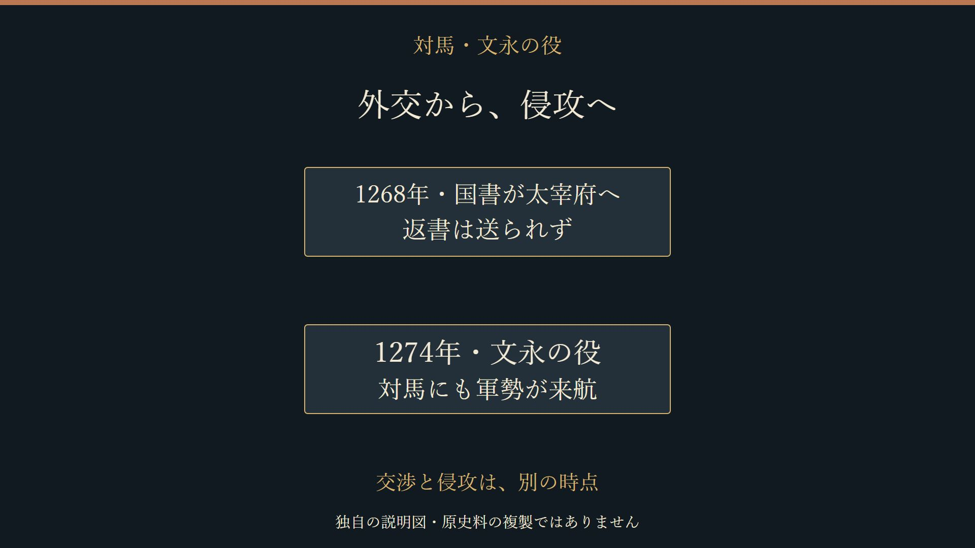
Before the attack of 1274, a letter from Kublai Khan's government reached Japan. The National Archives of Japan explains that envoys carrying the letter arrived at Dazaifu in 1268. The years of diplomatic contact therefore preceded the fighting on Tsushima.
The letter sought relations with Japan while also implying that refusal could lead to force. Its language of friendship belongs alongside that pressure when interpreting the exchange. Japan's court and warrior government had to consider the demands of a power expanding across the sea.
No reply was sent, and further missions followed. Tsushima also appears in the account of these contacts. People and documents crossed the maritime space before an invading force did. The island's connection with the continent was thus part of the diplomatic story as well as the military one.
Keeping 1268 and 1274 separate gives the approach to the invasion a sequence. The arrival of the letter, the absence of a reply and subsequent contacts were events unfolding over time. They should not be compressed into a single encounter on the beach.
The explanatory diagram places those two years apart. It begins with the letter reaching Dazaifu and proceeds to the Bun'ei invasion. That distinction makes room for the diplomatic history without pretending to recover a private discussion, an unrecorded message or a precise decision made by every participant.
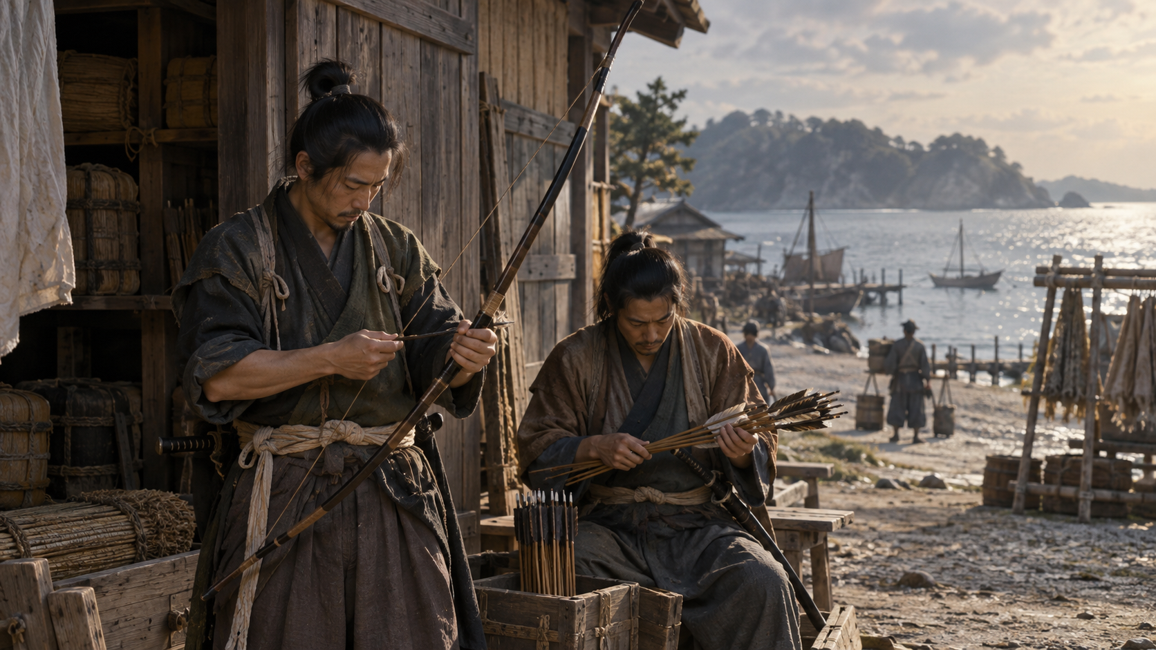
Scene 04
Preparations before the first invasion
The possibility of attack was known on the Japanese side before 1274. According to Fukuoka City Museum, the Kamakura shogunate ordered its retainers with holdings in Kyushu to take up defensive duties there even before the Bun'ei invasion.
Warrior groups in Kyushu prepared for the prospect of an attack. Since an expedition would cross the sea, defense also raised the question of where it might land. The coast of an island and the shores of Hakata Bay were distinct places within that larger problem.
An order to defend a region does not demonstrate that every beach had enough men to oppose a landing. The adopted sources do not turn a defensive obligation into a complete inventory of forces stationed at each point. The resistance on Tsushima needs to be followed as an island event within the wider preparations.
There was preparation before the first invasion, and changes in preparation afterward. One especially familiar feature of the later defenses is the stone wall around Hakata Bay. Its construction belongs to the years after 1274.
Placing that wall in its proper sequence matters when imagining the shore at Sasuura. The defensive arrangements associated with a later attack cannot simply be moved backward in time and across the sea. The island's first encounter must be read with its own location and date in view.
Scene 05
Sasuura and a changing shoreline
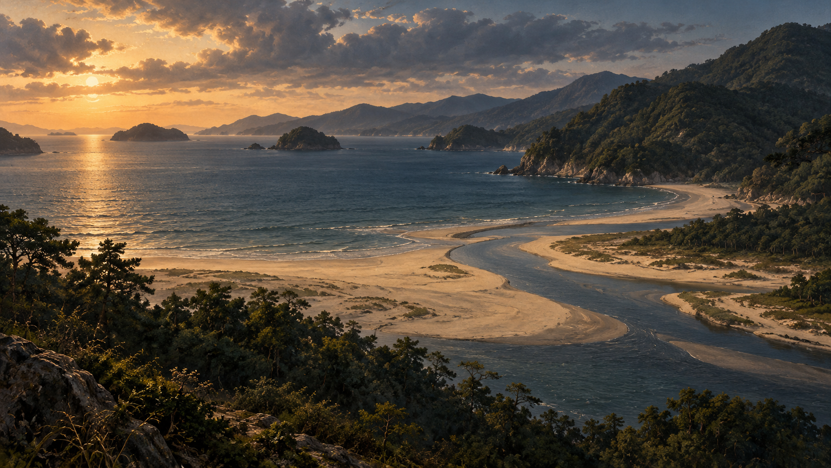
Sasuura is the place associated with the invasion's landing on Tsushima. It corresponds to the coast now known as Komodahama, near the mouth of the Sasu River. Komodahama Shrine, closely connected with memory of the fighting, stands in the area.
The present beach provides a way to understand the relationship between water and land. Yet the shoreline has changed. Tsushima City's explanation notes reclamation during the Edo period and later harbor development, both of which altered its appearance.
A modern photograph consequently cannot serve as an exact plan of the battlefield in 1274. Identifying the locality and reconstructing every feature of its medieval shore are different tasks. This article retains the place name without presenting the current coastline as an unchanged historical surface.
The point of contact remains significant: people arriving from ships met resistance from the island. On mountainous Tsushima, the shore was the place where an approach across the sea became an encounter on land. That relationship helps explain why Sasuura survives in accounts of the invasion.
The illustrations evoke the meeting of a river mouth, coast and upland. They do not establish how many ships arrived, precisely where each stood or how each soldier moved ashore. The locality supplies a geographic anchor; the limits of the records remain part of how we read it.
Scene 06
So Sukekuni and the limits of the account
So Sukekuni is remembered among the warriors who opposed the invading forces on Tsushima. His personal name appears in different Japanese characters, and the city's explanation explicitly identifies the alternate form. The variation should not create a second person in an English account.
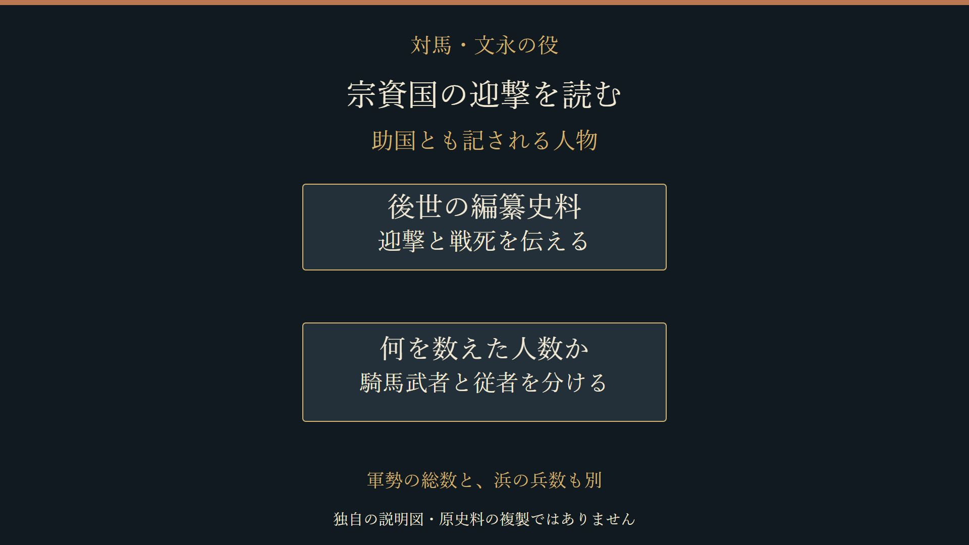
Tsushima City attributes the story to later compiled sources, including Hachiman Gudokun. It describes Sukekuni leading mounted warriors into battle and being killed. That attribution is part of the account: the events are conveyed through a compilation and a modern public explanation of it.
Numbers require attention to what they count. A tally of mounted warriors need not include the same people as a total encompassing their attendants. The size of an expedition as a whole also differs from the number of men who landed at a particular shore.
Putting incompatible figures side by side can make a dramatic contrast appear more certain than the underlying evidence allows. Before comparing numbers, we need to identify their categories and how the accounts describe them. This article does not choose one precise strength or ratio for the fighting at Sasuura.
The central tradition of resistance and death is retained with its source attribution. No final words, private thoughts or exact sequence of combat movements are added. A name preserved by the records can anchor the story while details that those records do not securely establish remain open.
Scene 07
Warriors and the people of the island
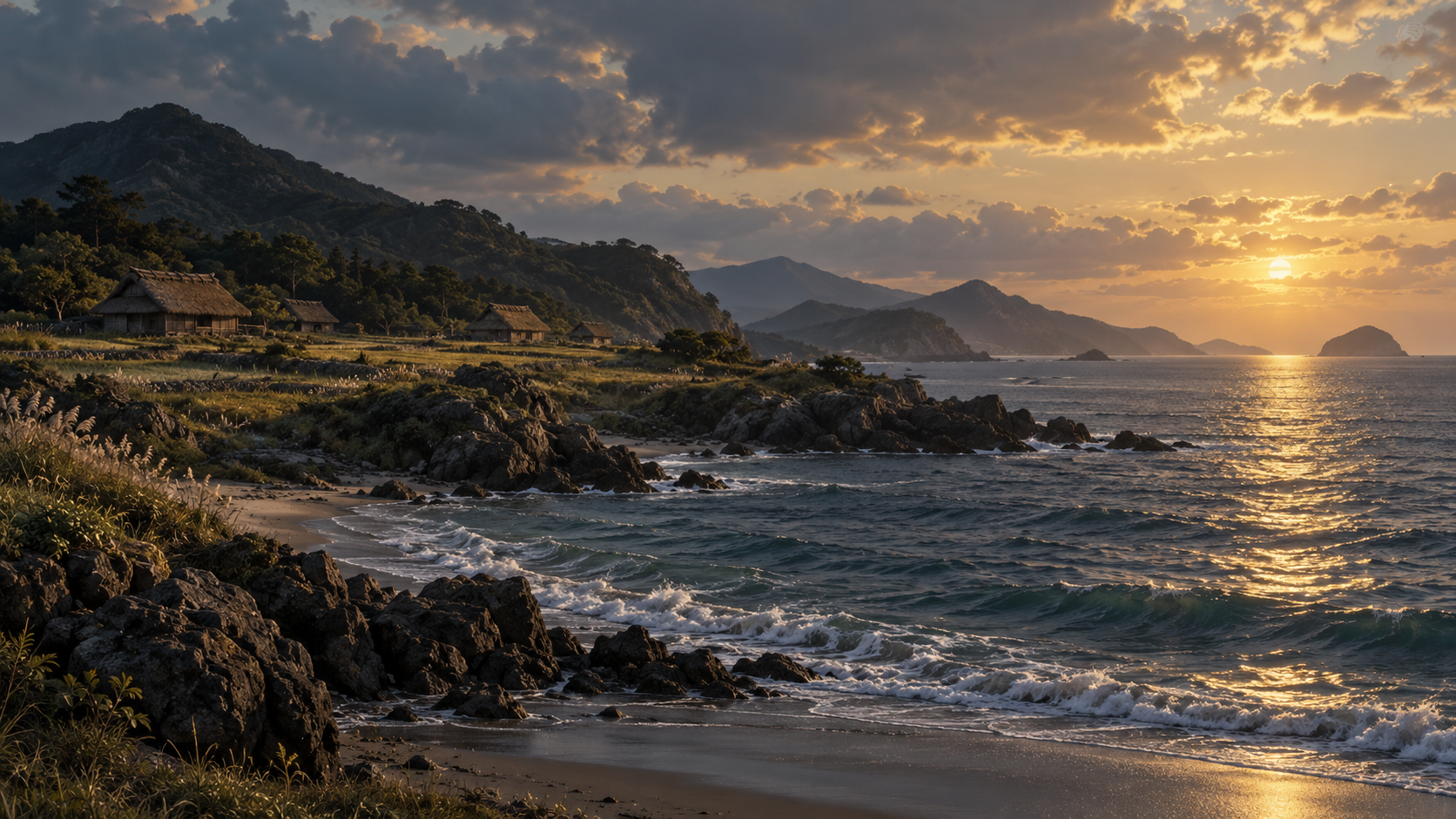
Knowing Sukekuni's name can draw attention toward a story centered on a single warrior. Tsushima Museum's exhibition introduction widens that view. It states that severe harm is said to have affected members of his family and the islanders during the Bun'ei invasion.
The fighting took place on an inhabited island. Behind its coast were places where people lived. Considering the invasion from Tsushima therefore means including the population alongside the warriors who opposed the landing.
The museum's description conveys the scale of harm in general terms. It does not provide a complete list of victims or an account of each person's experience. We cannot turn that broad statement into particular escape routes, final moments or conversations within families.
The seriousness of the losses and the absence of individual detail both belong to the history. Keeping the museum's attribution visible preserves what its explanation says without creating certainty about people whose names and experiences are not supplied.
An island perspective brings those people into view alongside a named figure in a compiled account. Sukekuni's resistance is one part of the invasion's history. The harm remembered among the islanders is another, and neither can be fully understood by focusing only on the later fighting at Hakata.
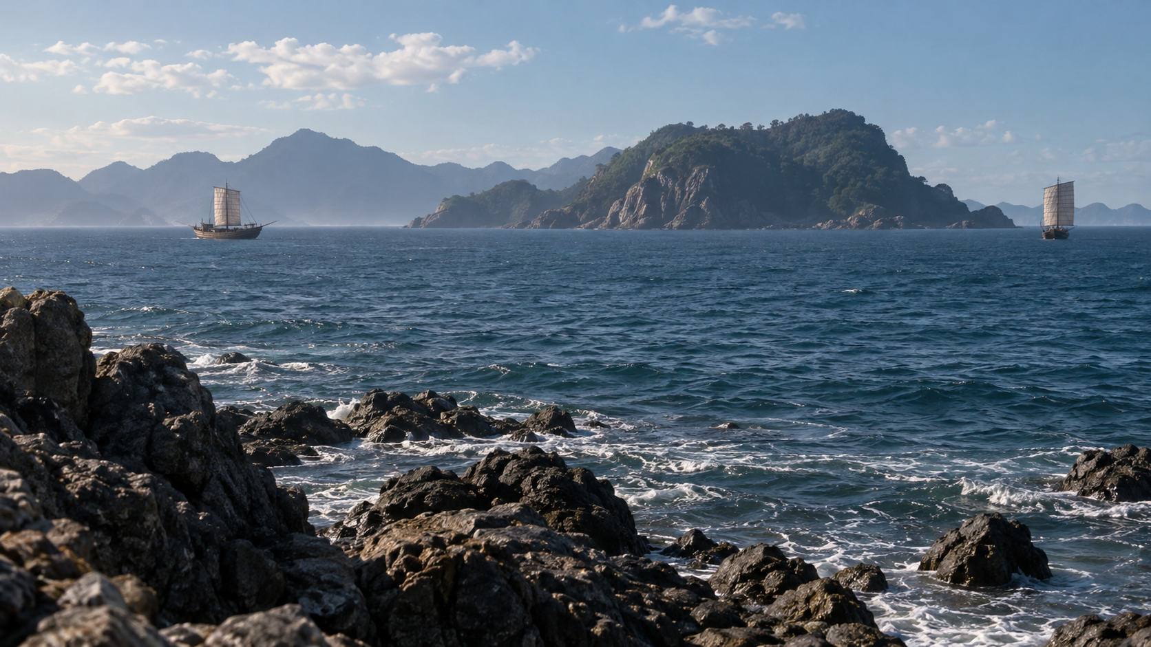
Scene 08
Tsushima, Iki and Hakata: connected but distinct
After Tsushima, the invading forces attacked Iki and proceeded to northern Kyushu. Fighting along Hakata Bay lay farther along that progression. The islands and the mainland were connected by the campaign, while each place had its own encounters and evidence.
Sukekuni's resistance is associated with Tsushima. Accounts and pictures of warriors fighting near Hakata concern other participants and places. Keeping those locations visible prevents a detailed scene from one battlefield being treated as the record of another.
Takezaki Suenaga is known through the Mongol Invasion Scrolls and his participation in fighting around Hakata Bay. The evidence centered on him belongs to that setting. It cannot automatically supply the missing movements, weapons or encounters at Sasuura.
Putting Tsushima, Iki and Hakata on a map helps locate the reach of each account as well as the direction of the invasion. A sequence of places gives readers a practical way to ask which shore a description concerns and whose activities its maker wanted to record.
Even where mainland imagery survives vividly, it does not reveal every detail of the island battle. The maritime connection helps us follow the campaign; attention to the location of the sources helps us keep its different experiences distinct. Both are necessary for reading the Bun'ei invasion from Tsushima.
Scene 09
The places and perspective in the scrolls
The Moko Shurai Ekotoba, commonly called the Mongol Invasion Scrolls, is an important pictorial source for the invasions. Fukuoka City Museum explains that Takezaki Suenaga, a participant in the fighting, commissioned an account of his own activities.
The scrolls combine pictures with written text. Their descriptions of fighting, equipment and mounted warriors belong to that particular perspective and setting. The work was not made as an equally detailed survey of all the places reached by the invasion.
Its history of transmission also matters. The museum draws attention to later copies, additions and problems in the arrangement of the surviving work. The form encountered today cannot simply be assumed to preserve every part exactly as it first appeared.
These issues are reasons to read the scrolls with care. Understanding what they were intended to convey, and how they were transmitted, allows their evidence to be used more precisely. An account centered on a participant can be valuable while leaving other places outside its immediate view.
For Tsushima, the distinction is especially useful. Pictures of Hakata are not eyewitness pictures of Sasuura. They help us understand part of the wider invasion, but the island's story must also be followed through its attributed accounts, local history and later places of remembrance.
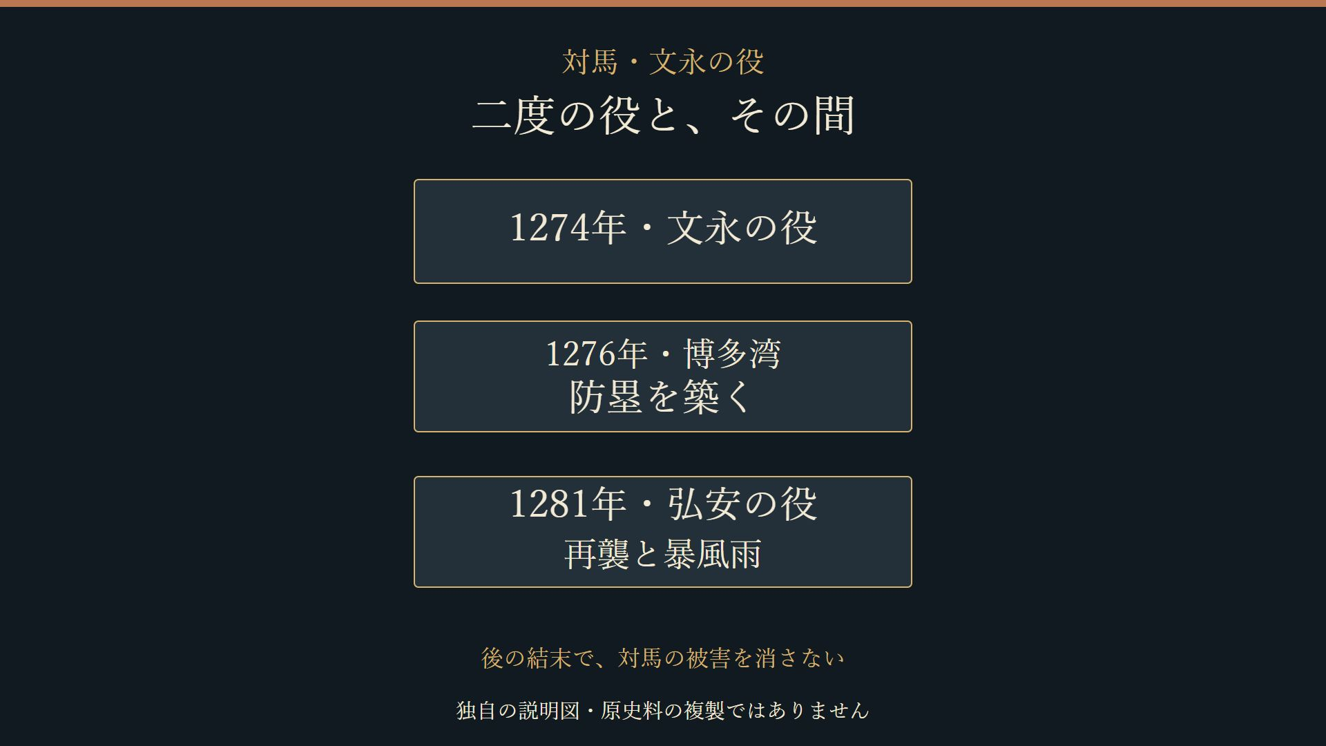
Scene 10
Two invasions, with a wall between them
The invasions took place in two different years: the Bun'ei invasion in 1274 and the Koan invasion in 1281. Keeping the names and dates together prevents the events on Tsushima during the first attack from merging with the later expedition.
Between those years, Japan prepared for another attack. Fukuoka City Museum dates construction of the stone defenses at Hakata Bay to 1276. Its account of the preparations describes warriors from Kyushu sharing the work of building them.
Defenses that were absent during the first invasion were thus added before the next. A sequence of 1274, 1276 and 1281 shows a changing response over time. It also fixes the wall at Hakata, rather than importing it into the first fighting on Tsushima.
The National Archives describes a storm causing major losses to the fleet in the Koan invasion. That later outcome cannot by itself explain what happened on Tsushima in 1274. This article does not transfer the 1281 storm into the island's earlier battle.
An overall conclusion to the invasions can obscure the experiences that came before it. Returning each event to its date and place preserves the harm on Tsushima as part of the campaign's history, while allowing us to see how the preparations and later fighting changed.
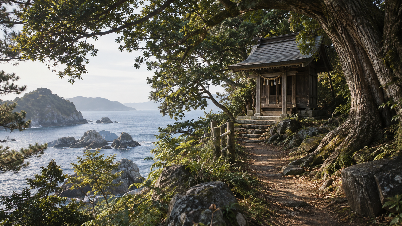
Scene 11
The time of battle and the time of remembrance
Komodahama Shrine now enshrines Sukekuni and the spirits of those who died fighting with him. Nagasaki's official tourism information also describes a procession in warrior dress proceeding to the beach and rituals performed during the shrine's major festival.
Tsushima has monuments traditionally associated with Sukekuni's grave, known as the head mound and body mound. The city's cultural-property explanation distinguishes their forms: the head mound's stone tower follows a Nanbokucho-period type, while the body mound's type is later still.
The invasion and the monuments therefore belong to different layers of time. The city's explanation uses stone-tower typology, rather than establishing an exact year of construction for each monument. Their later forms should not be treated as objects securely erected during the fighting of 1274.
Shrine rites and monuments nevertheless tell us something about remembrance. They show ways in which the name of a warrior and the memory of those who died were carried forward locally. The beach, the shrine and the traditions around the towers connect later generations with the invasion.
When reading a historic site, its age and the nature of the tradition matter alongside the event with which it is associated. This lets us consider both the medieval fighting and later commemoration. A place of remembrance can preserve an important connection without recording every detail of the day of battle.
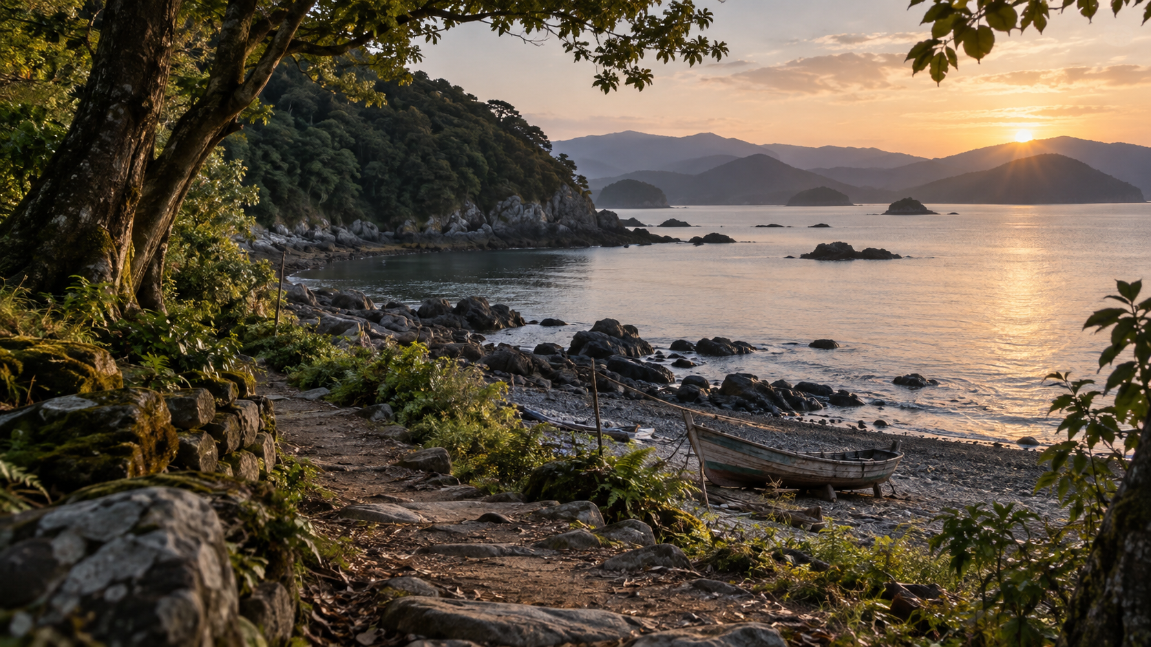
Scene 12
Reading the Bun'ei invasion from the island
Beginning on Tsushima brings resistance and harm into view before the invading forces reached Hakata. Along the maritime connection between the Korean Peninsula and Kyushu, the island encountered the campaign of 1274 as a local event.
Later compiled sources transmit the story of Sukekuni's fighting. The harm affecting warriors and islanders is remembered through the island's local history. Farther along the route lie Iki and Hakata, where the evidence concerns other places and participants.
The scrolls, the accounts associated with Tsushima and the island's historic sites each convey different things. Asking where an event occurred, who transmitted its account and when a surviving object took shape allows those differences to contribute to a larger understanding.
A quiet coastline can hold several layers of history: an encounter across the sea, a name preserved in writing and later acts of remembrance. Following those layers keeps the Bun'ei invasion grounded in the island's experience rather than allowing the eventual outcome to explain away everything that preceded it.
Editorial note: the account of Sukekuni's resistance follows public explanations attributing it to compiled sources. No exact troop strength, invented dialogue or private thoughts are supplied. Mainland scroll imagery, the two invasions and later rites or monuments remain distinct. Illustrations are conceptual productions, and the diagrams are original explanations; this article does not claim a new complete transcription of the original records or an exact reconstruction of the medieval coast.
How to read this work
History, interpretation, and reconstruction
Reading the sea route, resistance, harm and later commemoration together reveals the Bun'ei invasion through Tsushima's regional experience, while preserving the different places and limits of its evidence.
This work is grounded in published sources and historical research. Interior thoughts, dialogue, and some visual details are cinematic reconstructions. Where historians disagree, the article presents the point as debated rather than settled fact.
Timeline
The story in time
People & terms
A guide for new readers
Glossary
- Bun'ei invasion 文永の役
- The invasion of 1274, reaching Tsushima and Iki before northern Kyushu.
- Koan invasion 弘安の役
- The second invasion in 1281, kept distinct from the campaign of 1274.
- Genko 元寇
- Japanese term referring to the Mongol invasions of Japan.
- Bakufu 幕府
- Warrior government, translated as shogunate. The Kamakura government issued the defense orders discussed here.
- Gokenin 御家人
- Retainers of the warrior government; those with holdings in Kyushu were ordered to undertake defensive duties.
- Sasuura 佐須浦
- The coast associated with the landing on Tsushima, corresponding to present Komodahama.
- So Sukekuni 宗資国・宗助国
- The warrior remembered for resistance and death on Tsushima. The alternate written personal names identify the same figure in the city's explanation.
- Moko Shurai Ekotoba 蒙古襲来絵詞
- The Mongol Invasion Scrolls, combining pictures and text around Takezaki Suenaga's activities on the mainland.
- Hachiman Gudokun 八幡愚童訓
- A later compiled source cited in official explanations of the resistance on Tsushima.
- Head mound and body mound お首塚・お胴塚
- Monuments traditionally associated with Sukekuni's grave. Their stone-tower types belong to different periods after 1274.
- Nanbokucho period 南北朝時代
- A later medieval period used in the city's typological description of the head mound's tower. The body mound is described as a still later type.
Sources & method
How this article was built
This English edition follows the fixed published Japanese article, preserving its twelve scenes, five timeline entries and ten references. Geographic and institutional context explains the places, terms and types of evidence for readers unfamiliar with Japanese history.
The Japanese article review records actual reading of the adopted institutional explanations and the necessary pages of public PDFs. English preparation checks the same canonical source and image hashes, with targeted readings of the National Archives, Tsushima City, Tsushima Museum and Fukuoka City Museum explanations, the fixed wall-source browser readback and the city newsletter's cultural-property page. This is not a new complete transcription or collation of the original medieval records.
Sukekuni's resistance and death retain their attribution to later compilations. The museum's account of severe harm remains attributed. Exact troop counts, private thoughts, speeches, individual escape routes and unverified battle movements are not supplied. Takezaki Suenaga's mainland scroll perspective is distinguished from evidence of Tsushima.
The invasion of 1274, the Hakata defenses of 1276 and the second invasion and storm of 1281 remain separate. Later rites and monuments are considered as remembrance. The head mound's Nanbokucho-period type and the body mound's later type are distinguished without asserting precise construction years. Linking these layers through an island perspective is editorial interpretation.
Editorial note on illustrations: ten AI-generated conceptual images, including the hero, and three original explanatory diagrams are SHIGEKI productions. They are not historical photographs, exact portraits, original documents, eyewitness battle images or reconstructions of the medieval coastline. Major Japanese diagram labels are explained in English captions. Article-specific rights clearance is inherited after matching all thirteen current assets to the completed Japanese review. The connected film has Japanese audio; an English subtitle track has not been verified.
Sources
References and further reading
- Tsushima City: Regional Disaster Management Plan, Basic Plan, Part 1, Section 1 対馬市・地域防災計画 基本計画編 第1編第1節 Title translated editorially for reader convenience. Tsushima City 対馬市 Adopted geographic explanation of the island between the Korean Peninsula and Kyushu. Modern population, harbor and distance figures are not projected onto 1274. Accessed 2026-10-09
- Japan and Mongolia, Chapter 1: Thirteenth-Century Relations 国立公文書館・日本とモンゴル 第1章 Title translated editorially for reader convenience. National Archives of Japan 国立公文書館 Public institutional account of the 1268 letter, unanswered contacts and the two invasions. The sequence through Tsushima, Iki and northern Kyushu is retained; 1274 and 1281 are distinguished. Not a complete transcription of the diplomatic letter. Accessed 2026-10-09
- Defenders, Part 2: The Mongol Invasions and Warrior Groups 福岡市博物館・防人たち 2 元寇と武士団 Title translated editorially for reader convenience. Fukuoka City Museum 福岡市博物館 Exhibition explanation of defensive duties before the first invasion and wall construction afterward. Orders to defend do not establish sufficient forces at every shore. Accessed 2026-10-09
- Komodahama Shrine: Remembering Tsushima's Defender 対馬市公式観光・対馬の守り人が鎮座する小茂田浜神社 Title translated editorially for reader convenience. Tsushima City 対馬市 City tourism explanation attributing Sukekuni's resistance and death to later compilations. Alternate written names and changes to the coast are retained. Precise troop totals, speeches and inferred tactical movements are not adopted. Accessed 2026-10-09
- Photographs of Tsushima's Mongol Invasion Sites: Exhibition Introduction 対馬博物館・写真で巡る対馬の元寇展 Title translated editorially for reader convenience. Tsushima Museum 対馬博物館 The museum describes severe harm said to have affected the family and islanders. That attribution is retained without supplying individual experiences. Accessed 2026-10-09
- Mongol Invasion Scrolls Exhibition, No. 120 福岡市博物館・蒙古襲来絵詞展 No.120 Title translated editorially for reader convenience. Fukuoka City Museum 福岡市博物館 Explanation of Takezaki Suenaga's perspective, Hakata settings and problems of copying, additions and arrangement. The scrolls are not treated as eyewitness images of Tsushima. No historical images are reproduced. Accessed 2026-10-09
- Mongol Invasion Defensive Wall Exhibition, No. 023 福岡市博物館・元寇防塁展 No.023 Title translated editorially for reader convenience. Fukuoka City Museum 福岡市博物館 Dates construction of the Hakata Bay wall to 1276 in preparation for renewed attack. The wall is not placed at Tsushima in 1274. Accessed 2026-10-09
- Komodahama Shrine and Its Major Festival 長崎県公式観光・小茂田浜神社(大祭) Title translated editorially for reader convenience. Nagasaki Prefecture and Nagasaki Tourism Federation 長崎県・長崎県観光連盟 Public description of the shrine's commemoration and festival procession and rites. Present rituals are not eyewitness evidence of the medieval battle; precise fleet totals and dates on the page are not adopted. Accessed 2026-10-09
- So Sukekuni's Grave: Cultural Properties, Tsushima Newsletter, October 2013, p. 18 対馬市・文化財の紹介 宗資国の墓(広報2013年10月18頁) Title translated editorially for reader convenience. Tsushima City 対馬市 The head mound has a stone tower of Nanbokucho-period type; the body mound is of a later type. Typological assessment is kept distinct from a precise construction date. Accessed 2026-10-09
- Komodahama Beach 長崎県公式観光・小茂田浜海水浴場 Title translated editorially for reader convenience. Nagasaki Prefecture and Nagasaki Tourism Federation 長崎県・長崎県観光連盟 Used for the current relationship between Komodahama and the Sasu River mouth. Precise troop and vessel totals are not adopted. Accessed 2026-10-09
Continue reading
More stories from Shigeki
Shigeki English
Sakai’s Merchant City: Trade, Self-Government and Survival
A port, a merchant council and town communities—from changing authority to rebuilding after fire.
- When From the later fifteenth century through the Sengoku period, the fire of 1615 and early Edo-period reconstruction.
- Where Sakai, in present-day Osaka Prefecture, where maritime routes met roads on land.
Shigeki English
The Aburanokōji Incident: After Leaving the Shinsengumi
A separation in spring, a new base in summer, and two successive attacks.
- When Kyoto in Keiō 3 (1867). The incident’s historical date corresponds to December 13, 1867.
- Where Kyoto: the guards’ successive bases, the Aburanokōji attack site and the later place of remembrance.