
SHIGEKI ENGLISH STORYEN
Japanese history in English
Ino Tadataka’s Survey: Turning Travel into Lines on a Map
Distances, directions, slopes and stars—and the people who completed the work.
Follow Ino Tadataka’s survey through study in Edo, measured traverses, ropes and chains, slope conversion, distant bearings and stellar observation. See how field records became maps at different scales and why the national compilation was completed in 1821, after his death.
At a glance
Before you enter the story
- When
- Study in Edo from 1795; surveys from 1800 to 1816; death in 1818 and completion in 1821
- Where
- From Sawara and Edo to surveyed coasts and routes around Japan
- Key figures
- Ino Tadataka, Takahashi Yoshitoki, Takahashi Kageyasu, Survey assistants, Local helpers
- What was at stake
- How could a journey produce a mapped coastline, and what work lay between walking and a finished national compilation?
Why this story matters
The larger history behind the turning point
Distance travelled is only one part of a survey. Recording directions, converting measurements, checking against distant features and observing the sky connected local work with a larger positional framework. The practical sequence explains more than a total number of steps.
The final compilation also outlasted its best-known surveyor. Distinguishing field journeys from calculation and map preparation reveals the pupils, officials and other workers who continued the project after Tadataka’s death.
Historical context
What an international reader needs to know
Measuring a route is not the same as drawing everything
A traverse links successive measured points using distance and direction. A coastline with bays and headlands cannot be described adequately by a single accumulated distance, because the changes in direction are part of its shape.
The resulting maps were based on surveyed coasts and routes. They should not be described as a modern topographic survey measuring every part of the interior at the same density. The area and kind of observation remain part of what a map represents.
Astronomy, calculation and a team
Latitude indicates north–south position. Comparing an observed difference in latitude with a measured north–south distance could contribute to a question about the size of the Earth. Astronomical study was therefore connected with land measurement, rather than being an unrelated interest.
Different tasks required different people: marking points, carrying equipment, handling ropes, observing directions and recording values. Government organisation and local assistance helped make those tasks possible along the route. Generated illustrations represent the activities conceptually and do not identify actual team members or reproduce an original map or notebook.
Watch the film
See the story in motion
The film currently uses Japanese audio. This English article provides the context and source trail; it does not imply that an English subtitle track is available.
Scene 01
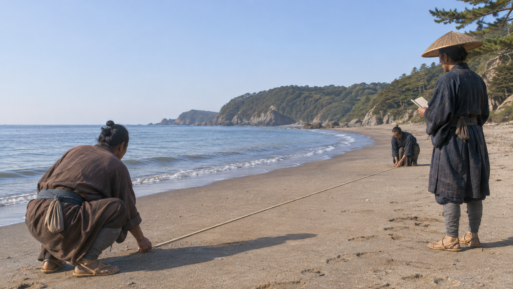
A coastline required distance and direction
Tadataka is known for walking Japan’s coastlines and making maps. But counting steps alone could not describe the shape of every inlet and headland. Direction had to be recorded alongside the length of each segment.
Distant mountains and stars also supplied reference points. The short line measured on the ground belonged within a wider process of checking position.
The account follows tools and records through that process. The completed national compilation was not something Tadataka finished entirely alone. Surveying in the field and producing the final maps were connected stages with different tasks and participants.
Scene 02
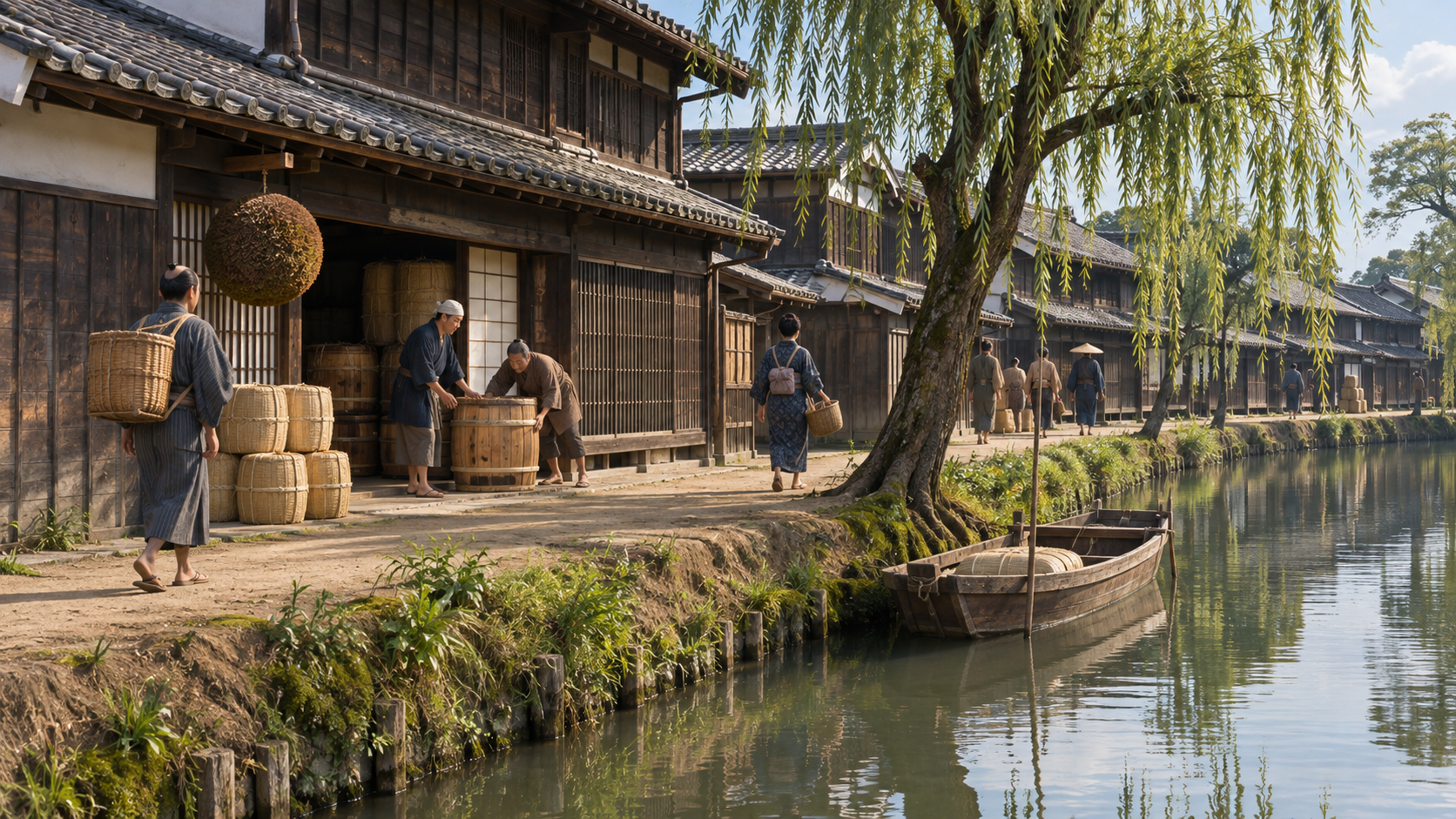
From Sawara to renewed study in Edo
Tadataka had not spent his entire adult life surveying the country. In Sawara he worked in the family business and held village responsibilities, including service as a village head.
After transferring household responsibilities, he went to Edo in 1795. There he became a pupil of Takahashi Yoshitoki, an official associated with the shogunate’s astronomical work.
Study of celestial movements and calendars connected with measurement on land. Observation could help establish position, to be compared with distances measured on the ground. His earlier commercial life and later period of study both preceded the national surveys rather than being erased by them.
Scene 03
A question about the Earth’s size
One question interested Tadataka and Yoshitoki: what distance on the ground corresponded to one degree of latitude? The relation between an angular difference and a north–south distance offered a way to consider the Earth’s size.
Observations at two places could establish their latitude difference. That difference then had to be compared with the relevant measured distance, rather than with an undifferentiated total route length.
In 1800, the first surveying journey went through northeastern Japan toward southern Hokkaido. Looking only at the finished map can hide this connection between astronomy and ground measurement that helped frame the undertaking.
Scene 04
Join short measured lines
A coast is not one straight line. Successive points were established, and the distance and bearing from one to the next were measured. This is the basic idea of a traverse.
Imagine proceeding east, then northeast, then changing direction again. Length and direction together allow the route’s bends to be transferred to paper.
Those directions are an explanatory example, not measurements from a particular historical coastline. The principle is that a sequence of short measured lines can describe a larger outline. The generated image does not reproduce an Ino map or a set of authentic survey values.
Scene 05
The work did not rely only on stride length
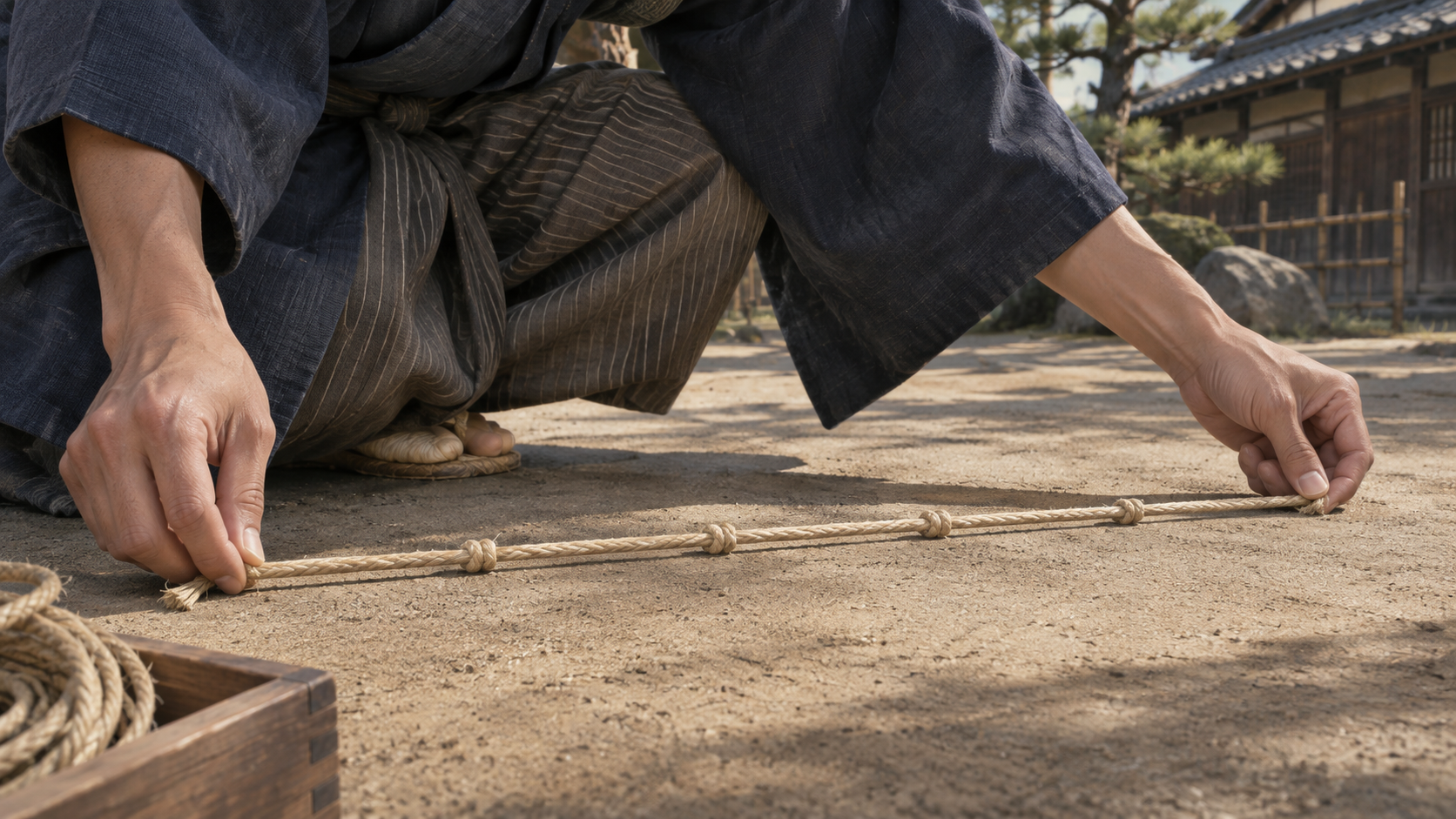
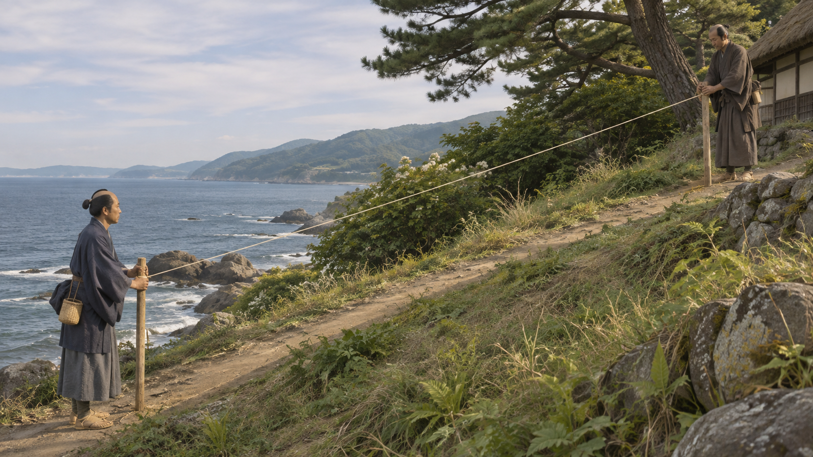
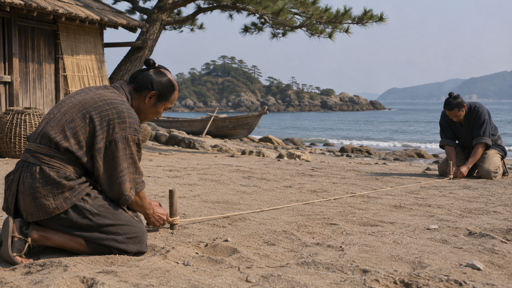
Pacing was used during the first journey. The nationwide undertaking was not, however, carried through entirely by counting steps. Measuring ropes and iron chains were among the tools used to establish distances between points.
One person might hold a marker, another handle the rope, another observe a direction and another record the value. These coordinated actions contributed to a single measured segment.
Walking therefore included repeated stops to establish and check measurements. Tools and written records had to work together before the team moved on. The distance covered by a traveller and the distance accepted as a measurement are related but different descriptions.
Scene 06
A slope’s length needed conversion
A length measured along sloping ground is not automatically the distance required on a flat map. The corresponding horizontal distance must be distinguished from the line following the incline.
The National Diet Library explains that gradients were measured and trigonometric tables used to convert distances for the mapping work. Measurement was followed by calculation.
No invented values or claimed error rate for a particular station are supplied here. The point is the procedure: recorded numbers were transformed into quantities appropriate for the map. Simply accumulating ground lengths would miss that computational stage.
Scene 07
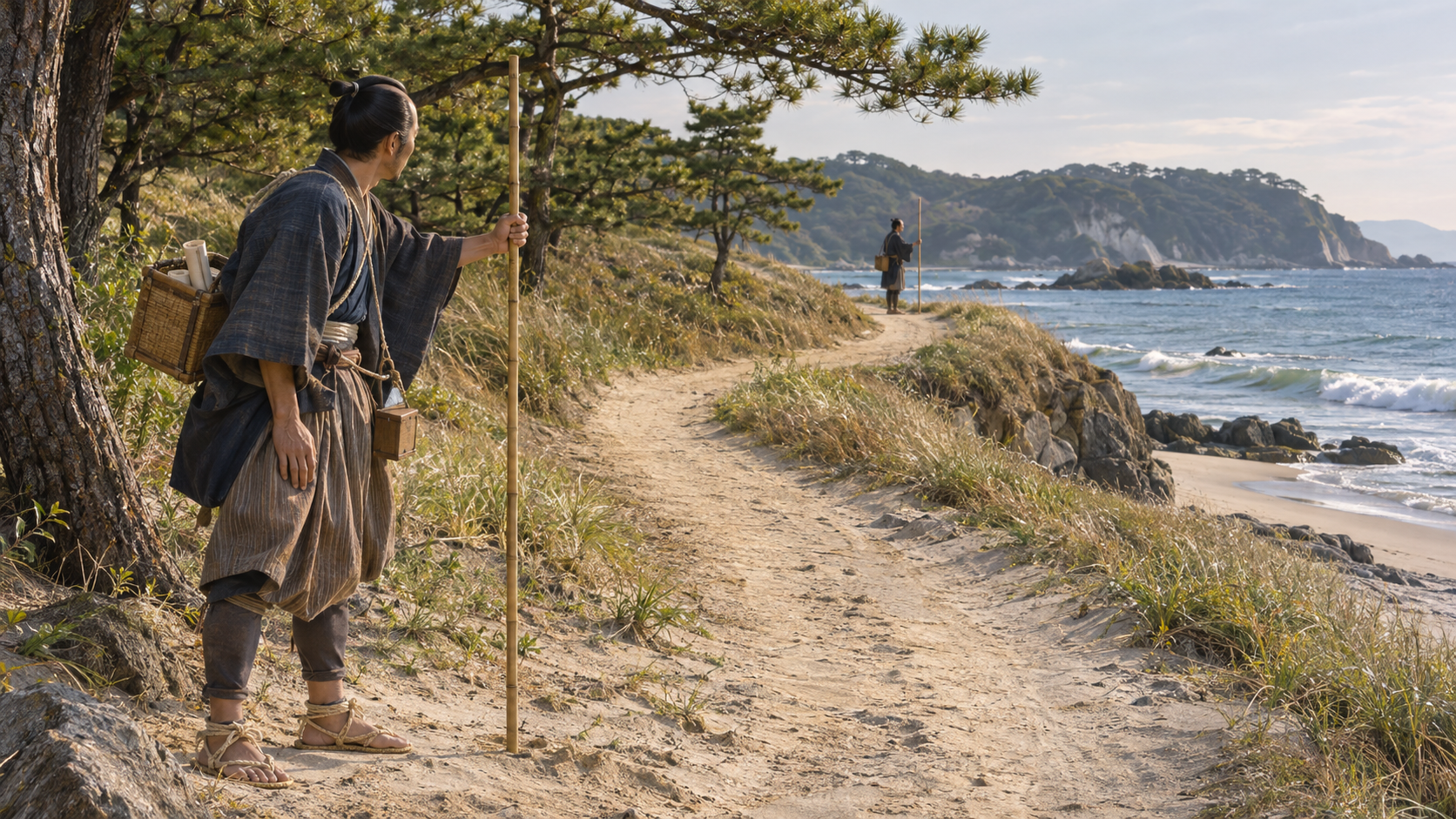
A distant mountain could check relationships
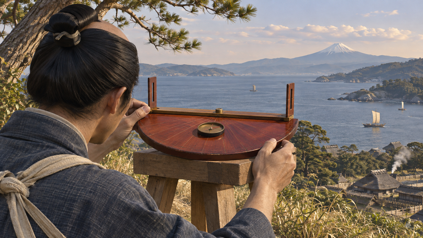
Small discrepancies could accumulate while nearby survey points were joined. Bearings toward distant mountains or islands offered another way to examine positional relationships.
Sighting the same target from different places allowed those observations to be compared through intersection. Instruments including a semicircular bearing board were used for this work.
The route close at hand was therefore connected with visible features farther away. The illustration suggests that act of sighting without claiming to reproduce an authenticated surviving instrument in every detail or a measured observation from a named station.
Scene 08
The night sky supplied another reference
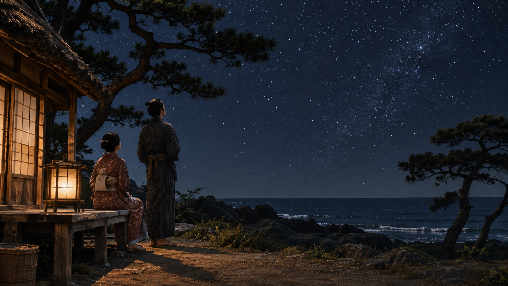
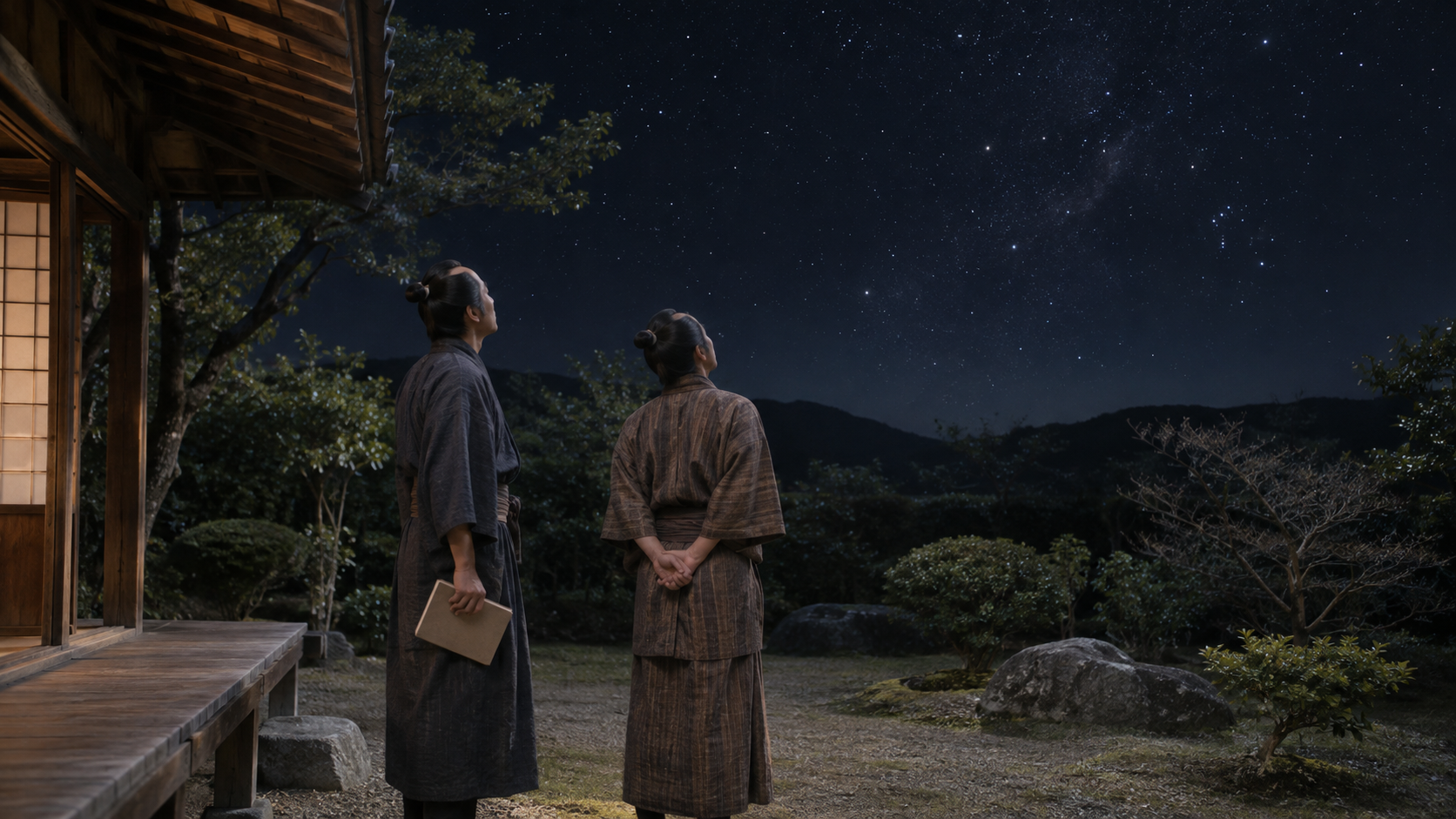
The end of daytime measurement did not end the observational work. At night, stellar altitudes were observed using a quadrant. Those observations helped establish latitude.
This supplied a north–south check distinct from the succession of ground segments. Chiba’s explanation of surviving materials includes records of stellar observations as well as directions.
Daytime routes and the night sky thus contributed measurements of different kinds. Combining them required observation and calculation during the journey, not only after returning to an office. The scene remains an anonymous illustration rather than a record of a particular observing night.
Scene 09
A collective journey
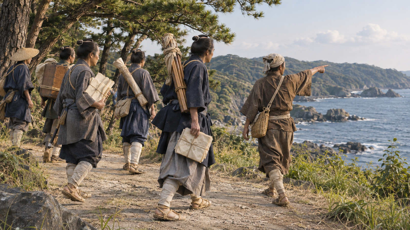
The survey cannot be explained as a solitary journey. Pupils and shogunate officials participated, while equipment carriers and local helpers supported the work along the way.
From the fifth survey onward, it proceeded as a directly administered shogunate undertaking. Organisation mattered alongside technical knowledge: people, equipment and support had to be available at successive destinations.
A line on the finished map therefore had several kinds of work behind it. Some people stood at measurement points, some moved supplies and some wrote the figures. Recognising Tadataka’s achievement includes seeing this cooperation rather than making those participants disappear.
Scene 10
From field records to maps at different scales
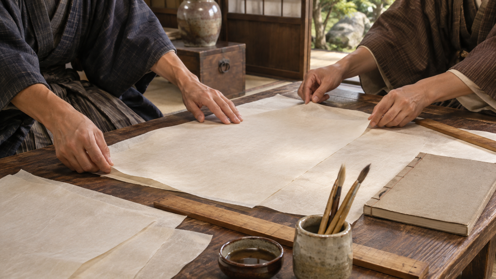
Field records gathered distances and directions. Preparing maps required representing the resulting relationships at an appropriate scale. Large, medium and small map series served different levels of detail and geographical overview.
The completed large-scale series used a scale of 1:36,000 and comprised 214 sheets. The medium series had eight sheets and the small series three. These are parts of the compilation, not separate counts of surveying journeys.
The mapped coasts and routes should not be equated with a modern topographic survey of every inland location. Asking what was measured and how it was compiled makes the scope of the achievement more precise without diminishing it.
Scene 11
Completion followed Tadataka’s death
The surveying journeys continued from 1800 to 1816. Tadataka died in 1818, before the final national compilation was complete. The stages must be dated separately.
Pupils carried on the work under Takahashi Kageyasu’s direction. In 1821, the Dai Nihon Enkai Yochi Zenzu was completed.
Travelling, measuring, arranging the records and preparing maps were different tasks within the same undertaking. The finished work known by Tadataka’s name depended on labour that continued after his death. Yoshitoki, his earlier teacher, and Kageyasu, who directed later completion, must also be distinguished.
Scene 12
Beyond the distance walked
How did walking become a mapped coastline? The route was divided into short measurable lines, with direction recorded beside distance. Slopes required conversion, and distant features and stars helped check position.
Records then had to be carried forward and compiled at defined scales. The final outline combined field observation, calculation and work shared across several people and years.
The question is therefore not only how far one man walked. It is how successive measurements were checked and made usable. Looking at those procedures reveals the hands measuring on the ground and the eyes observing the sky behind the familiar map.
How to read this work
History, interpretation, and reconstruction
The map emerged from measured direction as well as distance, repeated positional checks, calculation and the transmission of records across a collective undertaking.
This work is grounded in published sources and historical research. Interior thoughts, dialogue, and some visual details are cinematic reconstructions. Where historians disagree, the article presents the point as debated rather than settled fact.
Timeline
The story in time
-
The undertaking proceeded under direct shogunate administration.
Sources: s05
People & terms
A guide for new readers
Glossary
- Traverse 導線法
- A sequence of measured segments linking points by distance and direction.
- Measuring rope 間縄
- A tool for measuring distance between defined points, distinguished from relying only on stride length.
- Horizontal distance 平面距離
- The flat-plane distance needed for mapping, distinguished from a length measured along a slope.
- Intersection method 交会法
- Using bearings toward a common distant feature from different positions to examine spatial relationships.
- Quadrant 象限儀
- An instrument used in the stellar-altitude observations discussed in the account.
- Dai Nihon Enkai Yochi Zenzu 大日本沿海輿地全図
- The national coastal map compilation completed in 1821 after Tadataka’s death, through continued work by others.
Sources & method
How this article was built
The text follows the methods described by public institutions, a professional surveying association and a museum-based interview. It does not claim an independent reading of every field notebook or original map sheet. Multiple references from one institution are not treated as independent eyewitness accounts.
Illustrative directions explain traverse geometry without substituting fictional numbers for actual observations. Ground distance, horizontal conversion, distant bearings and latitude checks are distinguished. No uniform precision claim or complete inland coverage is inferred from the reputation of the finished maps.
The chronology separates study, surveying, death and final compilation. It also distinguishes Takahashi Yoshitoki from Takahashi Kageyasu and keeps the team’s work visible. Generated images accompany those explanations without authenticating a particular instrument, station, person or original document.
Sources
References and further reading
- Who was Ino Tadataka? 香取市記念館:伊能忠敬とは Title translated editorially for reader convenience. Katori City / Ino Tadataka Museum 香取市記念館 Institutional biography supporting the sequence from Sawara and Edo study to the surveys and death. Accessed 2026-11-06
- Ino maps 国土地理院:伊能図 Title translated editorially for reader convenience. Geospatial Information Authority of Japan 国土地理院 Explains the maps and their survey context; coastal and route coverage is distinguished from a modern survey of every inland point. Accessed 2026-11-06
- Methods of surveying 国立国会図書館:測量の方法 Title translated editorially for reader convenience. National Diet Library 国立国会図書館 Explains traverse measurement and the conversion of sloping distances. No new station values are supplied. Accessed 2026-11-06
- Interview with curator Ishii Hidekazu 千葉県観光:記念館学芸員石井秀和氏取材 Title translated editorially for reader convenience. Chiba tourism resource 千葉県観光 Museum-based explanation of tools, techniques and map compilation. The interview is not a complete independent examination of all original tools. Accessed 2026-11-06
- Departure on the surveying journey 東京都測量設計業協会:測量の旅立ち Title translated editorially for reader convenience. Tokyo Surveying and Design Industry Association 東京都測量設計業協会 Explains methods, team work and the later government undertaking. Accessed 2026-11-06
- Completion of the Ino maps 東京都測量設計業協会:伊能図の完成 Title translated editorially for reader convenience. Tokyo Surveying and Design Industry Association 東京都測量設計業協会 Explains the continuation after Tadataka’s death and completion under Kageyasu’s direction. Accessed 2026-11-06
- Permanent exhibition 香取市記念館:常設展示 Title translated editorially for reader convenience. Katori City / Ino Tadataka Museum 香取市記念館 Explains study, map series and the project’s completion. Original exhibit images are not reproduced. Accessed 2026-11-06
- Materials related to Ino Tadataka 千葉県教育委員会:伊能忠敬関係資料 Title translated editorially for reader convenience. Chiba Prefectural Board of Education 千葉県教育委員会 Describes surviving records, including astronomical and directional observations, without implying every original page was transcribed. Accessed 2026-11-06
- Geodesy 国立天文台暦計算室:測地 Title translated editorially for reader convenience. National Astronomical Observatory of Japan / Calendar Computing Office 国立天文台暦計算室 Explains the connection between ground distance and celestial position in considering the Earth’s size. Accessed 2026-11-06
Continue reading
More stories from Shigeki
Shigeki English
The Second Choshu Expedition: Four Fronts and a Negotiated Withdrawal
Read weapons together with terrain, training, command and support.
- When 1866, distinct from the first expedition in 1864; the process of ending extended into January 1867
- Where Oshima, the Aki border, Iwami and the Kanmon Strait facing Kokura
Shigeki English
Hasedo: Why Fighting Continued after Sekigahara
Separate the siege, the arrival of news, and withdrawal under pursuit.
- When 1600; month and day references use the calendar of the time
- Where Hasedo and Yamagata in Dewa, connected with Aizu and distant Sekigahara