
SHIGEKI ENGLISH STORYEN
Japanese history in English
Railway Opening and the Takanawa Embankment: Where Trains and Boats Crossed
An embankment carrying trains into the sea also raised the question of keeping a way to the water.
Explore the Takanawa Embankment through land acquisition, reused stone, earth supply, foundations, wave damage and passages for boats. Distinguish the petition associated with Bridge No. 5 from the remains of Bridge No. 7, the railway’s opening from later improvements, and historic designation from different forms of preservation.
At a glance
Before you enter the story
- When
- Construction in the early 1870s, railway opening in 1872, later widening and reclamation, rediscovery in 2019 and additional designation in 2021
- Where
- The former coast at Takanawa between Shimbashi and Shinagawa, along the Shimbashi–Yokohama railway
- Key figures
- British railway engineers, Japanese stoneworkers and construction participants, Residents concerned with boat access, Institutions documenting and preserving the remains
- What was at stake
- How could the new railway cross the sea while people living by the shore retained access to the water?
Why this story matters
The larger history behind the turning point
A train is the most visible part of a railway, but its operation depended on ground, foundations, earth and stone. At Takanawa, difficulty acquiring land became a large marine construction undertaking. The project changed existing coastal facilities and nearby hills as well as creating a new track bed.
The embankment also stood between shore-based activities and open water. Bridge passages show railway development interacting with maritime work rather than simply replacing it. Keeping the petition for one bridge separate from the remains of another helps explain that relationship without turning a broad interpretation into a false claim about a particular negotiation.
Historical context
What an international reader needs to know
Stations and calendars changed
The original Shimbashi station was at today’s Shiodome, and the original Yokohama station occupied the place associated with present-day Sakuragicho. Their familiar names should not place them automatically at the modern stations. Reclamation also changed the shoreline, so current land cannot simply be projected back into the opening-era landscape.
The opening ceremony occurred on the twelfth day of the ninth month of Meiji 5, equivalent to October 14, 1872 in the modern calendar. These are two expressions of one day. Earlier provisional operation between Shinagawa and Yokohama belongs to a different stage, not another name for the same ceremony.
A layered structure rather than one frozen scene
The railway opened with a single track and was later widened. Stonework revealed by excavation can therefore belong to different phases. Original horizontal masonry, later stonework, earth layers and structural remains need to be related to the location and period investigated, rather than assigned uniformly to every part of the embankment.
The sources include institutional explanations, a planning document and an archaeological overview excerpt. Relevant pages are identified without claiming that every original construction record was independently deciphered. Generated scenes illustrate the discussion; they are not precise archaeological sections, original plans, photographs or exact reconstructions of locomotives and bridges.
Watch the film
See the story in motion
The film currently uses Japanese audio. This English article provides the context and source trail; it does not imply that an English subtitle track is available.
Scene 01
Why did the first railway run into the sea?
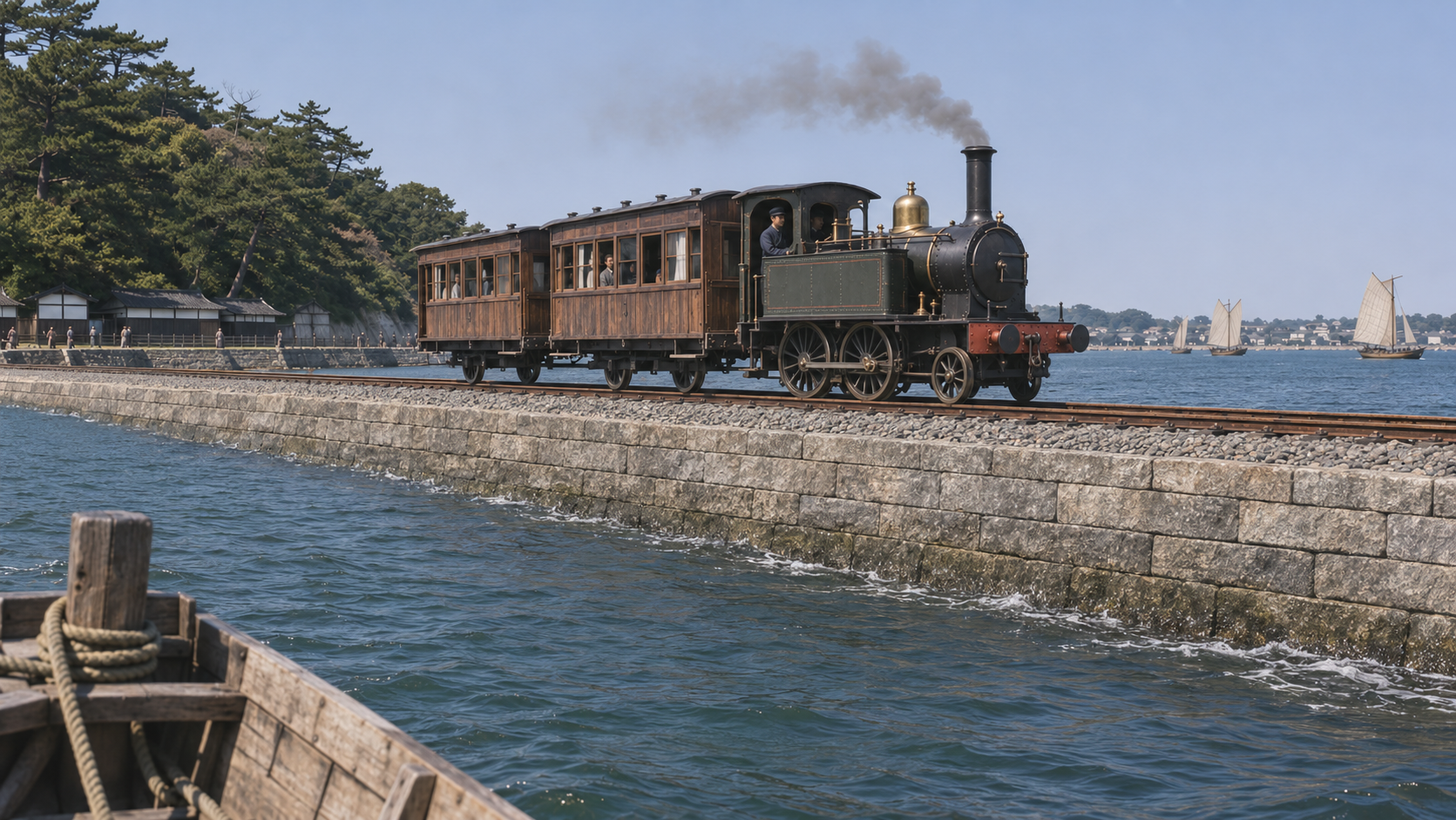
In early Meiji Tokyo Bay, a steam train traveled along a narrow embankment separated from the shore by water. This was the Takanawa Embankment, part of the first railway linking Shimbashi and Yokohama. Its position raises a practical question about the railway’s construction: why take the route into the sea?
Land acquisition, the supply of stone and earth, and boats moving between shore and water were connected problems. Considered together, they make the embankment more than a raised bed carrying a train. It was also a place where a new transport system encountered existing coastal activities and livelihoods.
The national cultural-property database describes Locomotive No. 1 as an 1871 British-built 1B tank engine whose later alterations substantially changed its appearance. A photograph of the preserved vehicle cannot simply represent its exact appearance in 1872. The train shown here is likewise a conceptual illustration, not a precise reconstruction of that locomotive.
Scene 02
The original stations were not the present stations
The setting lies along the route from Shimbashi toward Shinagawa. At the opening, however, Shimbashi station stood at what is now Shiodome. Yokohama station was also elsewhere than the current station, at the location associated with Sakuragicho. Familiar names can otherwise conceal important geographical differences.
The route between Shimbashi and Yokohama measured about twenty-nine kilometers, with approximately 2.7 kilometers taking the marine embankment route at Takanawa. The distance is difficult to imagine from today’s cityscape alone, where later development has transformed the former relationship between railway and sea.
Understanding that relationship requires care with both stations and shoreline. Present platforms, roads and reclaimed land do not supply an unchanged map of the early Meiji coast. The article explains the broad setting while leaving precise original geography to the appropriate plans and investigations rather than claiming it from the generated image.
Scene 03
Two calendars describe one opening ceremony
The twelfth day of the ninth month of Meiji 5 and October 14, 1872 refer to the same day. One uses the period’s Japanese calendar and the other the modern calendar. The ceremony opening the Shimbashi–Yokohama railway took place on that day, rather than at two separate openings obtained from the differing numbers.
Provisional operation between Shinagawa and Yokohama had begun earlier. Sections ready for use were brought into operation before the full route’s opening. That sequence is distinct from the calendar conversion and helps explain how a railway began working while construction proceeded elsewhere on the line.
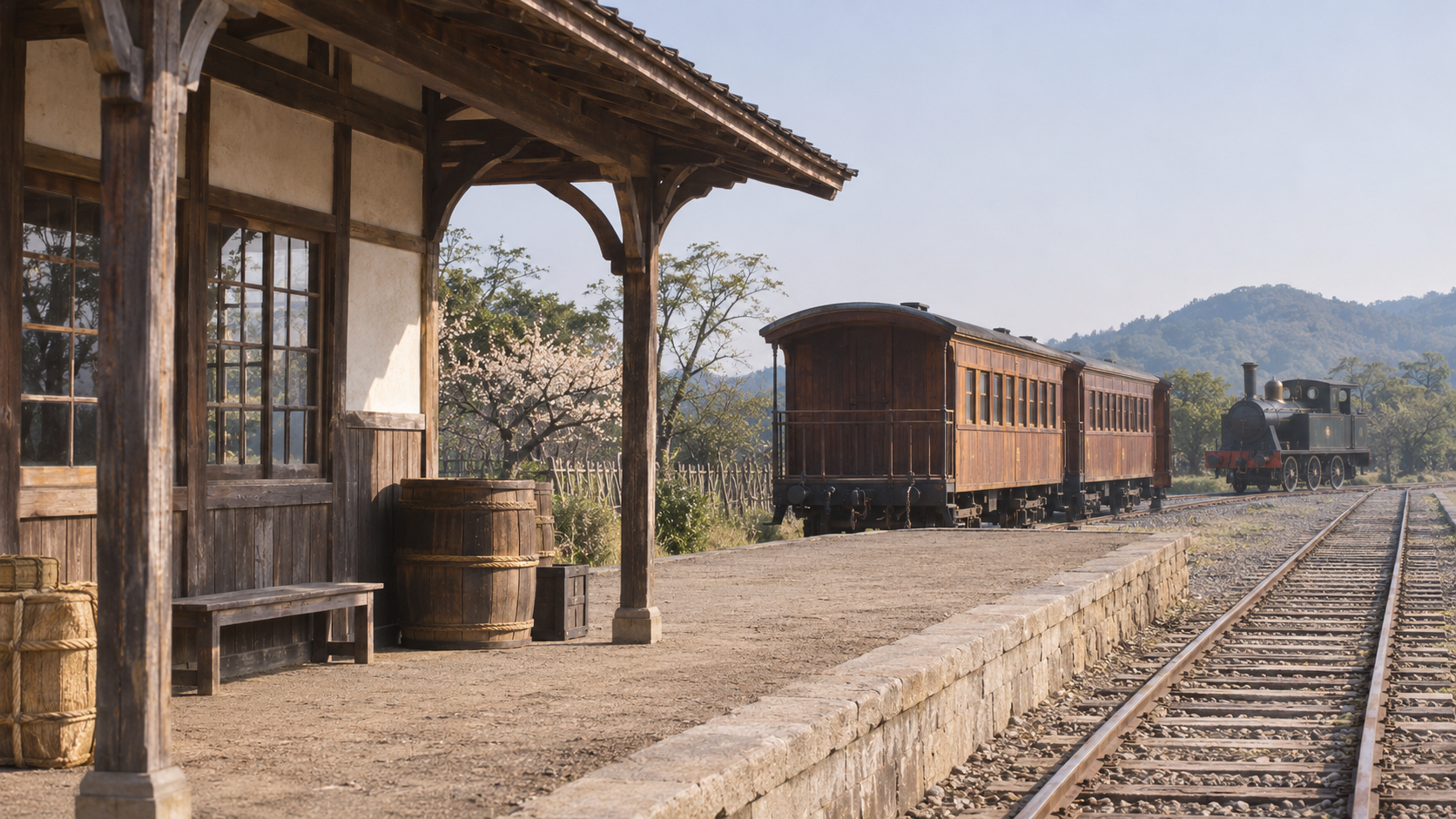
Provisional service, the opening ceremony and different calendar systems therefore need separate attention. Keeping them apart prevents a chronology from appearing contradictory simply because its dates use different conventions. The conceptual platform illustration does not claim to show an authenticated station arrangement or the particular events of the ceremony.
Scene 04
A land problem became a marine construction problem
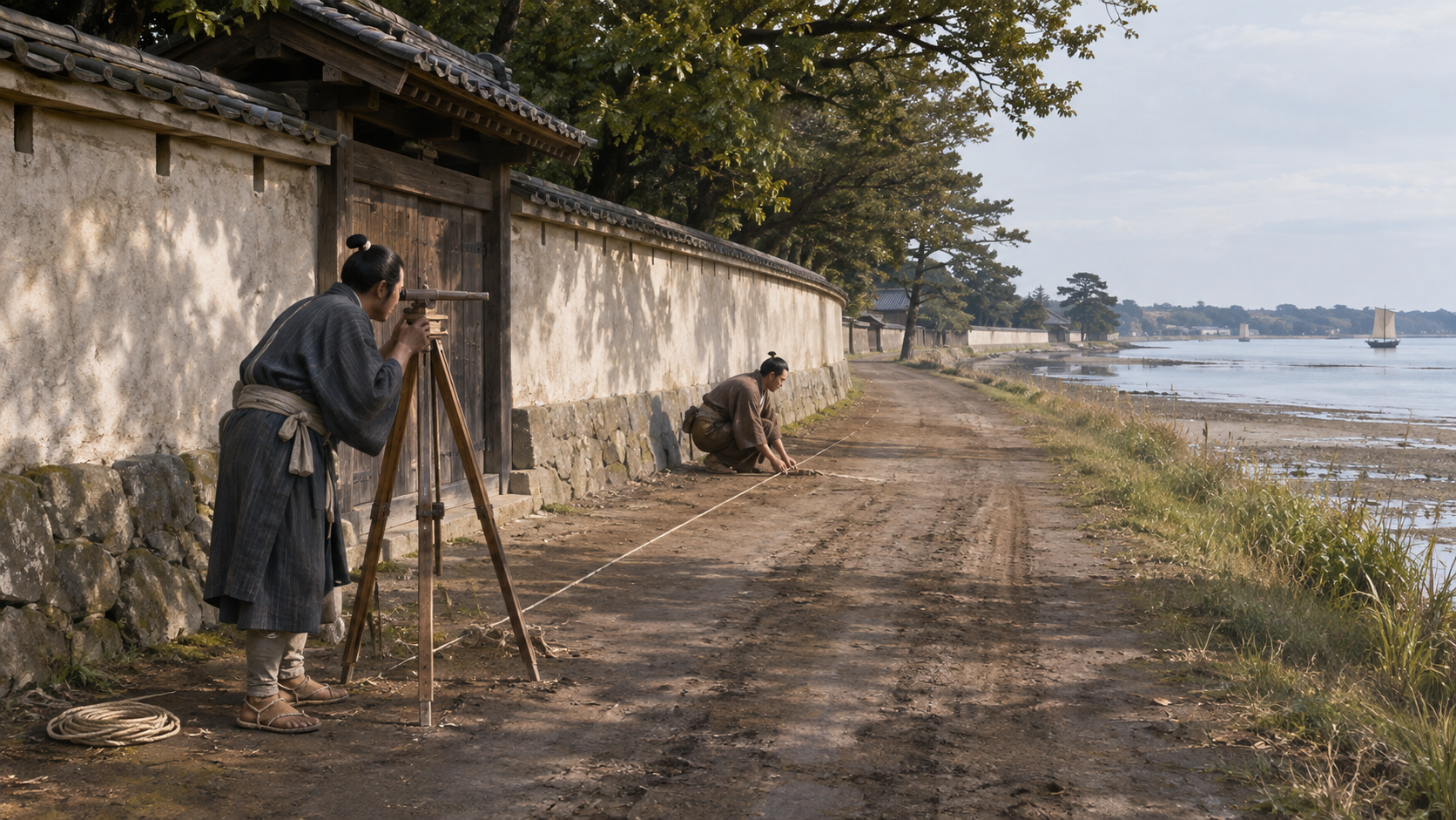
Difficulty securing land contributed to the marine route. Estates and military land lay along the Tokaido, where usable space was limited. The National Diet Library’s explanation identifies such circumstances as background to constructing an embankment at sea, rather than treating the sea route as an arbitrary visual flourish.
Accounts of Okuma Shigenobu’s decision to take the line into the sea also occur in later recollection. A retrospective explanation must not be turned into a verbatim conversation at the time. Nor did one person’s decision by itself supply all the materials, labor and engineering required afterward.
Choosing the marine route shifted the problem of obtaining a railway corridor toward the work of constructing one. It required a physical foundation where trains could operate. The illustration evokes surveying in a coastal setting, without establishing the precise decision process, private intentions or every property negotiation involved in the project.
Scene 05
British railway technology and Japanese stonework
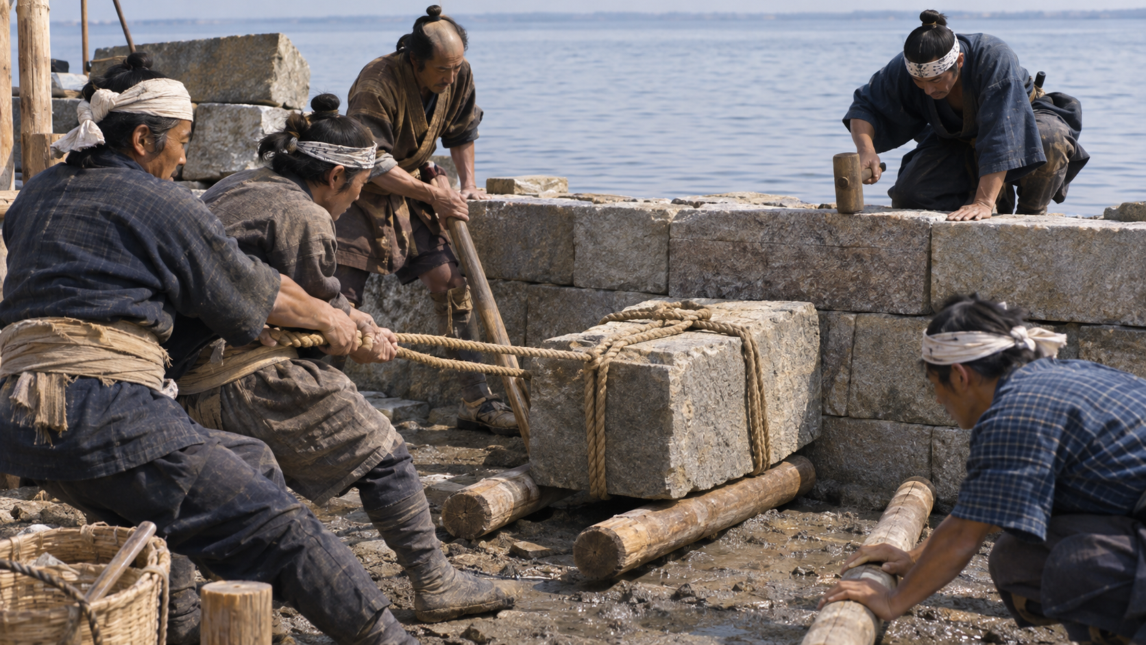
British engineers played important roles in building the railway. At the same time, the Takanawa Embankment depended on masonry and civil-engineering skills developed in Japan. JR East’s planning document identifies construction participants with experience of the Shinagawa battery works among those undertaking the embankment project.
Providing rails and locomotives was one kind of work; building a foundation from the seabed was another. Both were necessary for the railway to operate. Looking below the visible vehicle restores the place of stone handling, earth transport and the practical construction site within the story.
The relationship is therefore more informative than assigning the entire railway to a single imported invention or a single person. Different technologies and groups of workers contributed to the completed facility. The generated construction scene illustrates that practical setting without identifying its figures as specific historical people or proving a particular working procedure.
Scene 06
Reused stone and the hills supplying earth
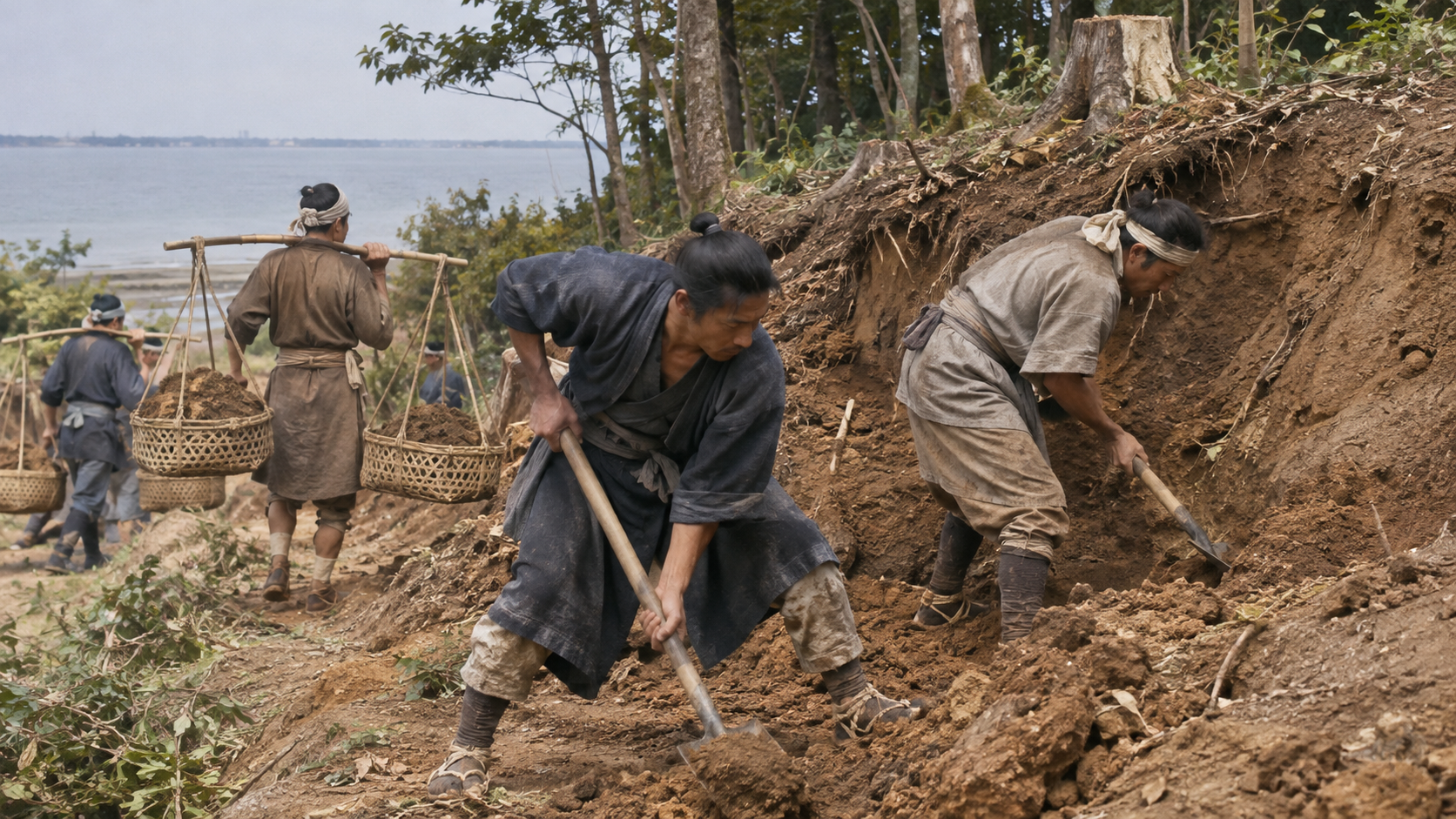
A long embankment required substantial materials. Stone was reused from coastal walls along the Tokaido and from the Shinagawa batteries. Earth was brought from cutting into places including Yatsuyama and Gotenyama. The new route therefore depended on changes to existing structures and surrounding land.
The batteries meant here are those at Shinagawa, not Kanagawa Battery in Yokohama. Shared defensive terminology should not transfer the provenance of materials from one project to another. Distinguishing the names matters because reuse connects particular earlier facilities with the railway’s construction.
The work was not confined to a narrow strip within the sea. It reorganized resources and altered nearby terrain as well as forming a track bed. The conceptual illustration supplies a general earth-moving scene, while the source accounts establish the named material-supply connections without reconstructing every basket load or original hillside contour.
Scene 07
Ground, foundations, masonry, earth and track worked together
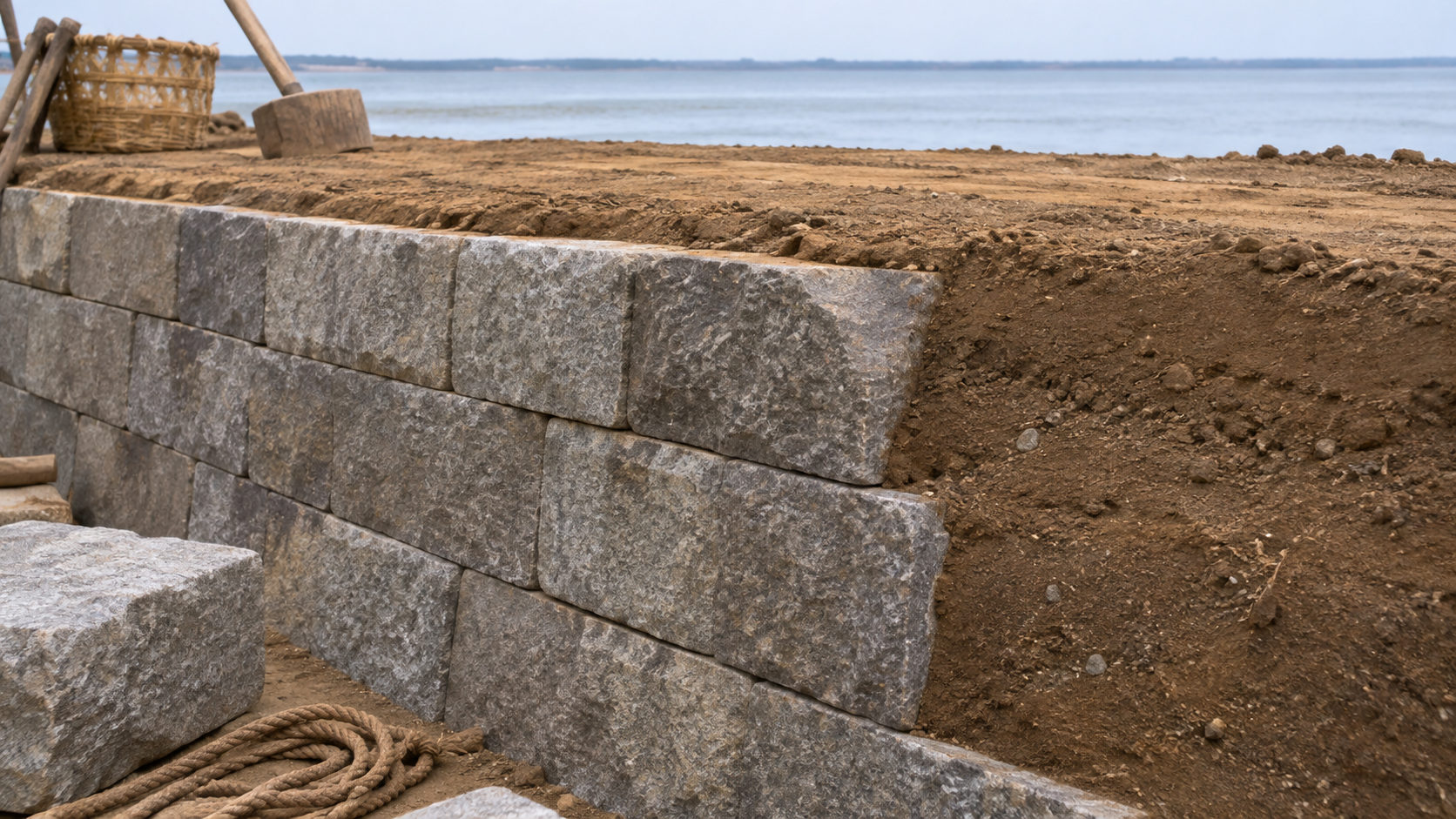
The embankment was supported by stone walls on both sides, with earth inside and the track above. Excavation also confirmed timber and piles supporting masonry. Simply placing visible stones in water would not explain the structure required to carry a long railway route.
Ground, foundations, fill and railway bed had to work together. Yet construction differed by investigation location and improvement phase. The relationships are summarized schematically in the explanation; no claim is made that every stretch shared one identical cross-section or that the illustration shows an exact underground structure.
Minato’s overview distinguishes original horizontal masonry on sea and land sides from later diagonal masonry on the widened land side. JR East’s section also separates original and later walls. Dimensions belonging to one location or phase must not be presented as universal measurements for the entire embankment.
Scene 08
Wind and waves complicated the northern works
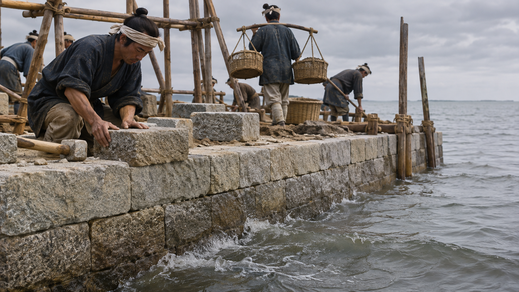
Construction proceeded in southern and northern sections at different times. According to the planning document, wind and waves damaged fill in the northern section and required repairs. Building where water moved against the works created demands different from simply piling earth on stable dry land.
The line’s height and supporting structure had to be maintained while exposed to marine conditions. A finished stretch of orderly masonry can conceal the interruptions involved in making it. The accounts of repair therefore add something that an image of the completed railway alone cannot communicate.
The embankment emerged through work accommodating the conditions of the sea, including correcting damaged portions. This does not authorize an invented catastrophic collapse or casualties. The generated scene evokes the general construction problem without identifying a particular accident, storm date, wave height or group of workers from the historical records.
Scene 09
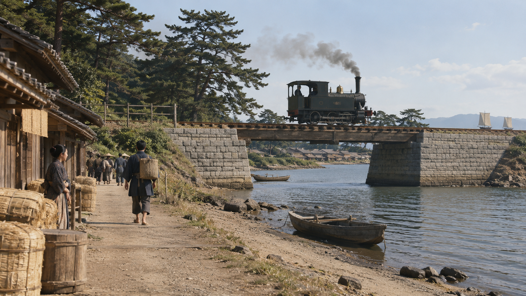
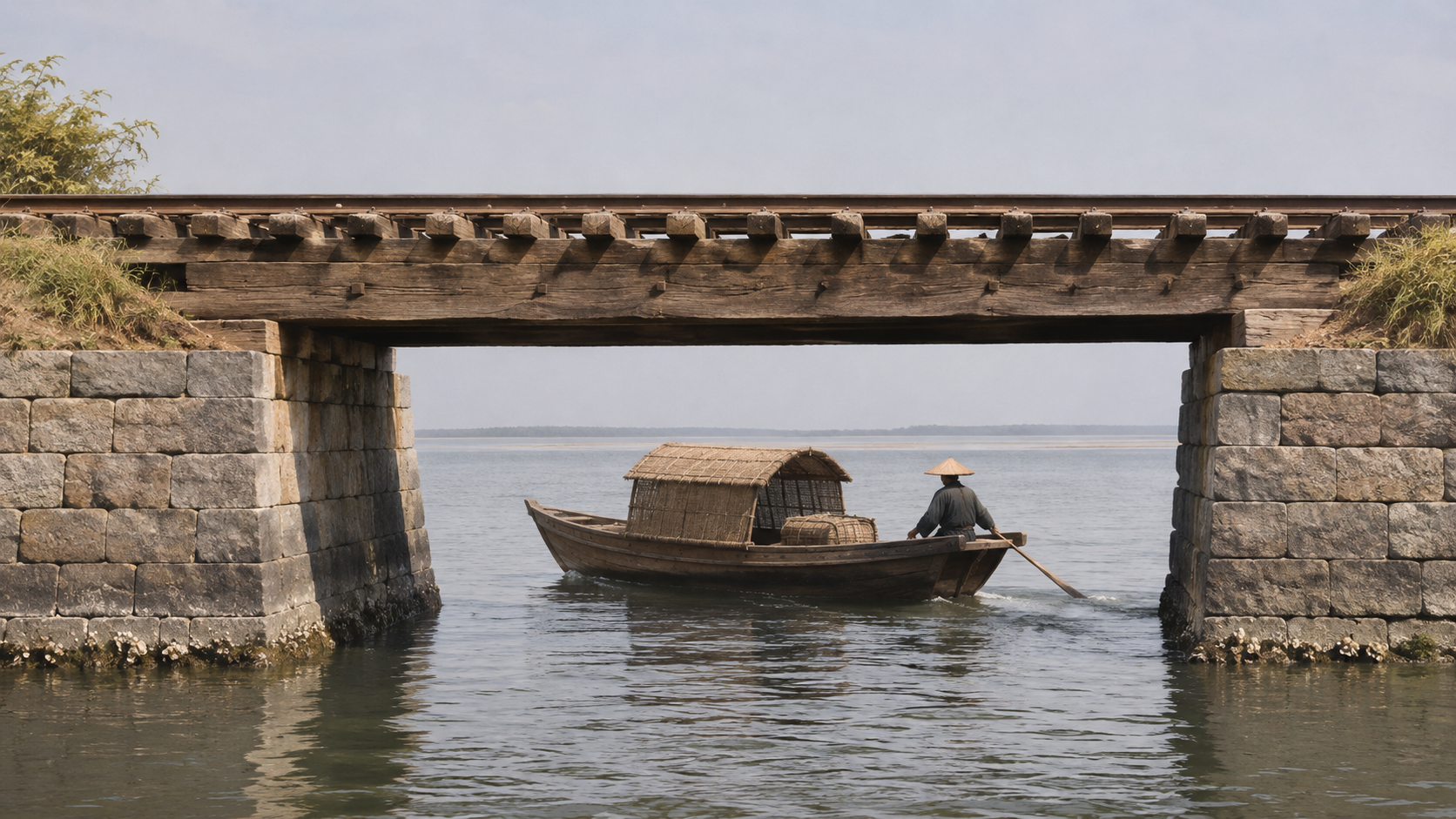
Bridge No. 7 let boats pass beneath the railway
What happened to boats if a long embankment blocked movement between shore and open water? Four bridges, numbered five through eight in the railway’s sequence, were provided along the Takanawa Embankment. Bridge No. 7 included a water passage through which boats could move.
At the opening, the bridge used timber beams supported by stone abutments. A masonry arch or the later iron bridge cannot simply be placed back in 1872. Keeping the construction phase visible matters as much for the bridge as for the number of railway tracks above it.
Trains moved above while boats passed below. The location therefore brought the new railway and existing maritime transport into a vertically shared space. The illustration makes that relationship understandable without claiming a measured reconstruction of the bridge, its clearance, every component or a boat documented as passing on a particular day.
Scene 10
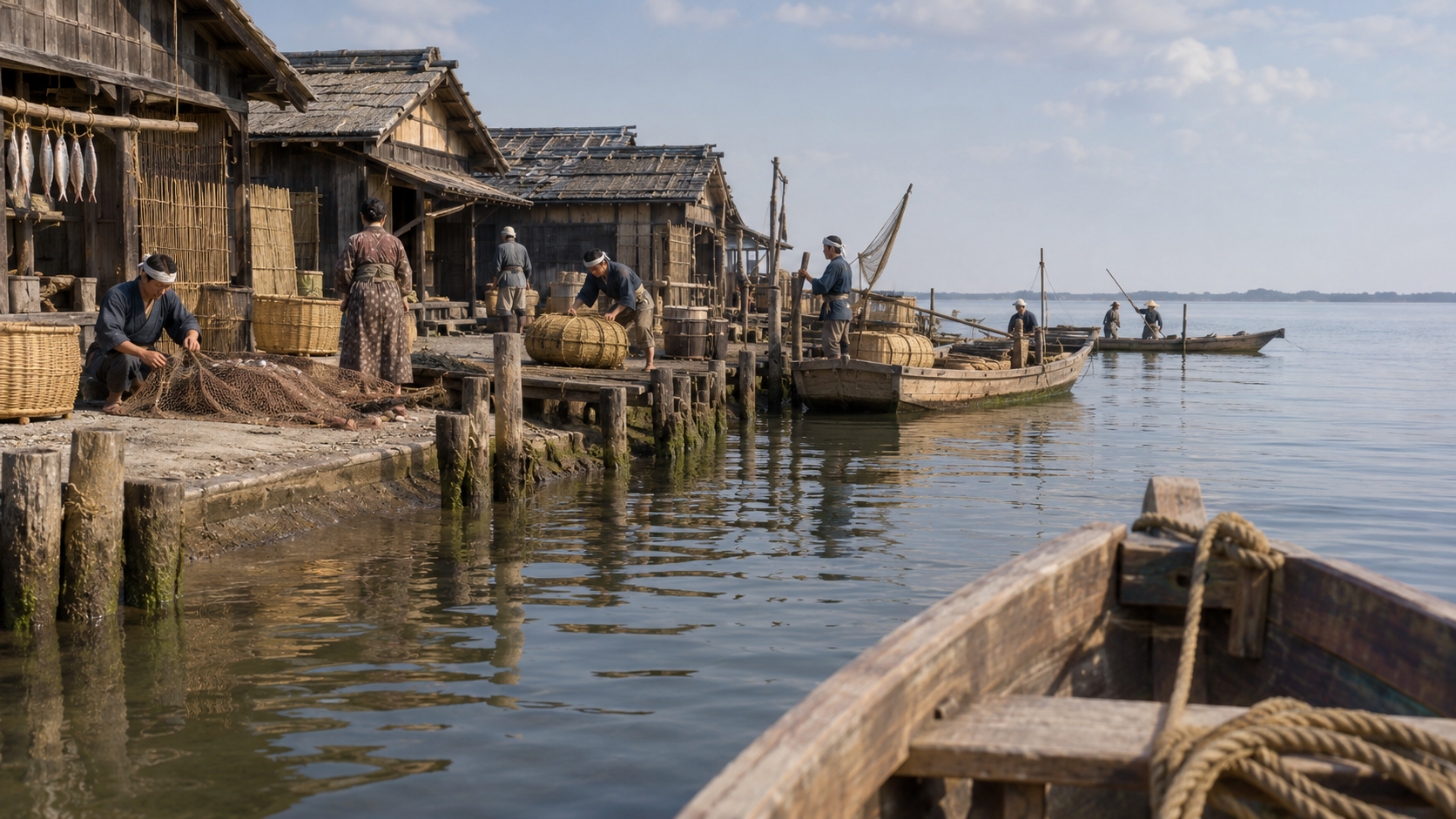
Honshiba residents sought the passage associated with Bridge No. 5
Boat access was not a matter considered only by railway builders. At Honshiba, associated with Bridge No. 5, residents requested a bridge passage. The planning document discusses petitions and the question of who would bear costs, revealing negotiation around the effects of the new works.
This record concerns Bridge No. 5. It cannot establish that the same negotiation occurred for Bridge No. 7 simply because the latter also provided a passage. A general statement about accommodating coastal livelihoods requires that distinction when the article moves between particular documents and particular surviving remains.
The request nonetheless shows how people working along the shore confronted a new obstacle to reaching the sea. Their routes needed consideration alongside railway construction. The generated waterfront is a general explanatory setting, not evidence of the exact houses, petitioners, boats or conversations involved at Honshiba.
Scene 11
Widening, reclamation and several historical layers
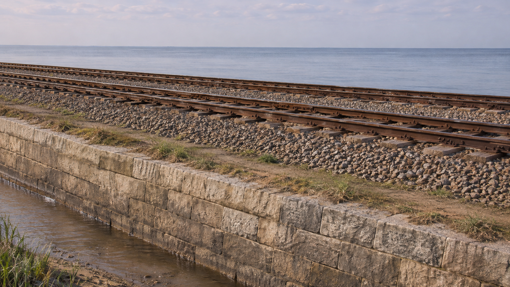
The railway began with a single track, later expanding to double and then triple tracks, with alterations to the embankment. Excavated masonry therefore does not all belong to the opening phase. Different stones and earth layers can preserve evidence of a transport system changing over time.
Subsequent reclamation incorporated former water into the developing city. In 2019, stonework was discovered during improvement works at Shinagawa station, leading to investigation. The discovery concerned a landscape whose earlier relationship to the coast had become difficult to see beneath later railway use and urban development.
The remains were not one unchanged slice of an old scene. They contained traces of several periods accumulated through railway and city transformation. The image is accordingly labelled as a conceptual later double-track phase, preventing a visual example of improvement from silently replacing the original single-track railway in 1872.
Scene 12
Designation and different ways of preserving remains
September 17, 2021 brought historic designation involving the Takanawa remains. Preserving a portion in place, relocating it and investigating it to retain a record are different actions. The approximately 2.7-kilometer original embankment was not thereby preserved completely in its original position or condition.
Following the stonework connects land acquisition, marine construction and coastal work. The facility carried trains across former water while raising the question of how shore-based people would continue to reach the sea. Its value includes those relationships as well as its place in the opening of the railway.
More precisely, the 2021 action added the remains to the existing Old Shimbashi Station historic site and changed its name. The agency’s August 23 article concerns the recommendation stage, and Minato’s preservation map records September 2021 policy. Those past documents do not guarantee present access or completion of all preservation works.
How to read this work
History, interpretation, and reconstruction
The embankment connected land acquisition, marine construction and coastal livelihoods; its opening, later alterations and preservation must be read as different stages.
This work is grounded in published sources and historical research. Interior thoughts, dialogue, and some visual details are cinematic reconstructions. Where historians disagree, the article presents the point as debated rather than settled fact.
Timeline
The story in time
-
Locomotive No. 1 is manufactured in Britain; its surviving exterior is later altered.
Sources: locomotive -
The Shimbashi–Yokohama opening ceremony, one day expressed in two calendars.
Sources: archives-opening, bunka -
The embankment has a single track, with timber-beam bridges on stone supports and passages for boats.
Sources: jr-plan, minato-pdf -
Bridge No. 7 is changed from a timber bridge to an iron bridge.
Sources: jr-plan -
The section becomes triple track, with widening represented in the embankment remains.
Sources: jr-plan, minato-pdf -
Part of the stonework is discovered during Shinagawa station improvement works.
Sources: minato-web -
A recommendation for historic designation, distinct from the subsequent designation date.
Sources: bunka -
Additional designation and a name change create the Old Shimbashi Station and Takanawa Embankment historic site.
Sources: jr-plan, minato-pdf
People & terms
A guide for new readers
Glossary
- Chikutei 築堤
- An embankment; here a constructed raised bed carrying a railway through former coastal water.
- Tsuusenko 通船口
- A passage allowing boats through the embankment toward the sea.
- Kyodai 橋台
- An abutment supporting a bridge, distinguished from its timber or later iron span.
- Nuno-zumi 布積み
- Horizontal-course masonry, distinguished here from later diagonal masonry.
- Tani-zumi 谷積み
- Diagonal-course masonry associated in the cited overview with a later widened wall.
- Honshiba 本芝
- The locality associated with the petitions discussed for Bridge No. 5; not evidence that the same negotiation occurred for Bridge No. 7.
Sources & method
How this article was built
The twelve selected chapters of the completed video provide the sequence, with the corrected audio versions retaining the same narration. Eight substantive references explain route history, construction, archaeology, ceremony and locomotive form; sources with different functions are not presented as eight independent original construction reports.
The selected planning pages and overview pages identified in the references were read and visually examined as specified. Neither entire PDF nor every original diary, construction record and map is claimed to have been independently deciphered. The video’s reference to a diagram is adapted into a schematic verbal explanation rather than a nonexistent article diagram.
Original and later masonry, single and expanded tracks, timber and later iron bridges, Shinagawa and Kanagawa batteries, the two bridge cases and recommendation versus additional designation remain distinct. Approved generated stills are separately adopted for the article. Original plans, prints, photographs and audio are not reproduced, and past preservation plans are not presented as present access guarantees.
Sources
References and further reading
- Overview of the Takanawa Embankment, excerpt 概説 高輪築堤(抜粋) Title translated editorially for reader convenience. Minato City Board of Education 港区教育委員会 Text from PDF pages 3–11 was consulted; reproduced prints, preservation policy and Bridge No. 7 on pages 6, 8 and 9 were visually examined for this article. Not all thirteen pages read. The 2021 policy is distinct from present conditions; no images reproduced. Accessed 2026-11-04
- Basic development plan for the Takanawa Embankment, chapter 2 高輪築堤跡 整備基本計画書 第2章 Title translated editorially for reader convenience. JR East JR東日本 Text read on PDF pages 20, 25, 37–39 and 46, printed pages 42, 47, 59–61 and 68. Pages 25, 37, 38 and 46 visually examined. Not all sixty-seven pages read. Distinguishes the fifth-bridge petition, seventh bridge and differing sections; no complete original-document decipherment or source images reproduced. Accessed 2026-11-04
- Historic designation of the Takanawa Embankment, August 23, 2021 高輪築堤跡の史跡指定について(2021年8月23日) Title translated editorially for reader convenience. Agency for Cultural Affairs 文化庁 The body was read for land, technology, materials and boat access. The East-Asia-first claim is not adopted. This is the recommendation stage, not September’s designation or a statement of current progress; no images reproduced. Accessed 2026-11-04
- Takanawa Embankment remains 高輪築堤跡 Title translated editorially for reader convenience. Minato City 港区 The body was read for discovery in 2019 and cultural evaluation, retaining the page’s 2022 update context. Not a present-day visitor-access guide; no photographs reproduced. Accessed 2026-11-04
- Japan’s first railway: Map of the Shimbashi–Yokohama railway 日本最初の鉄道 新橋横浜間鉄道之図 Title translated editorially for reader convenience. National Archives of Japan 国立公文書館 The introduction was read for route, station locations and opening stages. The creating institution and date are described as unknown, with an attribution offered only as a possibility. No complete measured map analysis or reproduction. Accessed 2026-11-04
- The Shimbashi–Yokohama railway opens in Meiji 5 明治5年 新橋・横浜間の鉄道が開通する Title translated editorially for reader convenience. National Archives of Japan 国立公文書館 The introduction to a copy of Dajokan Nisshi 75 was read for the ceremony on the historical-calendar date. Not independent decipherment of every page of that journal; no source images reproduced. Accessed 2026-11-04
- Kaleidoscope of Books 32: Before the railway opening 本の万華鏡32 鉄道が変えたコト・モノ 開業前夜 Title translated editorially for reader convenience. National Diet Library 国立国会図書館 The body was read for land constraints, engineers and opening stages. The provisional opening’s historical fifth-month date and modern June date use different calendars. Later recollection is not converted to contemporary dialogue; no prints reproduced. Accessed 2026-11-04
- Locomotive No. 1, British manufacture in 1871: National cultural-property database 一号機関車 一八七一年英国製 国指定文化財等データベース Title translated editorially for reader convenience. Agency for Cultural Affairs 文化庁 The detailed explanation was read for its 1B tank arrangement and later alterations changing the exterior. Preserved-vehicle photographs are not copied as an exact opening-era view, and generated scenes are not precise locomotive reconstructions. Accessed 2026-11-04
Continue reading
More stories from Shigeki
Shigeki English
The Battle of Minatogawa: How Was the Defeated Masashige Remembered?
Separate the time of fighting from the times when records, images and memorials were made.
- When The battle in 1336; a report dated 1337; commemoration in 1692 and 1857; the tunnel, park and statue of the modern city
- Where Minatogawa and Kobe, considered alongside documents, war narratives and later images held or described by several institutions
Shigeki English
The Toi Raids: Defense, Letters and Returning Captives in the Seas of 1019
The sea carried attackers, returning people and information.
- When 1019, with month and day references retaining the period’s Japanese calendar
- Where Tsushima, Iki, northern Kyushu, Kyoto and the waters connected with Goryeo