
SHIGEKI ENGLISH STORYEN
Japanese history in English
Sapporo and the Kaitakushi: The Street Grid and the Lives Changed by Land Policy
Waterways, a firebreak and government buildings, read alongside Ainu history and continuing culture.
Trace Sapporo's early planning through the 1866 waterway, headquarters construction and the 1871 grid. The account distinguishes successive buildings and reads urban development alongside the effects of land and assimilation policies on Ainu people.
At a glance
Before you enter the story
- When
- From the 1866 waterway through the late nineteenth-century formation of the city, with continuing Ainu history
- Where
- Central Sapporo, Kotoni and the wider historical setting of Hokkaido
- Key figures
- Otomo Kametaro, Shima Yoshitake, Ainu people and communities
- What was at stake
- What can a street plan reveal about building a city, and which experiences of the land remain outside its lines?
Why this story matters
The larger history behind the turning point
A grid makes a city look easy to read. Its streets, waterways and open spaces can be followed as practical decisions about administration, movement and fire prevention. Distinguishing their dates reveals a sequence of construction rather than a city completed at one moment.
That visible order is only one part of the history. Ainu people lived in Hokkaido before the commission was established, and policies affecting land, livelihoods and culture shaped experiences that a planning map cannot fully represent. Keeping those experiences and continuing cultural activity in the account changes how the present city is viewed.
Historical context
What an international reader needs to know
A commission and successive buildings
Kaitakushi is the name of the Meiji government commission associated here with Hokkaido's development and settlement. Establishing that organization in 1869, beginning the Sapporo headquarters, completing a temporary office in 1871 and completing another headquarters building in 1873 are separate stages. A building familiar today should not be used to collapse them.
The former red-brick Hokkaido Government Office is dated to 1888 in the cited exhibition guide. It belongs to a later administrative setting. Distinguishing the buildings helps an overseas reader connect a present landmark with its own date rather than treating all early Sapporo government offices as one structure.
Land, identity and the limits of a map
Ainu people are Indigenous people whose history in Hokkaido predates the city-making described here. Wajin is the term used in the cited historical explanation for the Japanese population distinguished from Ainu people. The article explains broad policies without assigning ethnicity from a generated person's appearance or inventing a particular family's experience.
A plan records selected features for particular purposes. The time represented, the making of a copy and its orientation all need checking. Blank space on a map is not evidence of uninhabited land, just as an orderly street pattern is not a complete account of the conditions under which people lived.
Watch the film
See the story in motion
The film currently uses Japanese audio. This English article provides the context and source trail; it does not imply that an English subtitle track is available.
Scene 01
An open space with a history
Why does such a broad open space run through central Sapporo? One of the early purposes of the area now known as Odori Park was to limit the spread of fire. The familiar place for relaxation and events carries an earlier role within the planning of the city.
Looking at the park as a historical space changes the question from what was built to what was deliberately left open. An urban plan can take shape through the separation of buildings as well as their construction.
That planning does not mark the beginning of the land's history. Ainu people lived in Hokkaido before the establishment of the Kaitakushi, the government commission associated with the development and settlement described here.
The article follows the streets and administrative buildings while keeping that earlier and continuing history in view. A planned city and the lives affected by changes in land use belong to the same account.
Scene 02
A waterway before the commission
In 1866, before the establishment of the Kaitakushi, Otomo Kametaro undertook the excavation of an irrigation channel. Known as Otomo-bori, it provides an earlier point from which to consider the formation of Sapporo.
Its history connects with the present Sosei River. That connection does not mean that the earlier channel followed exactly the same course or had the same appearance as the river seen today.
New plans were placed over land with prior uses and work already undertaken to obtain water. The city was not simply drawn onto a blank sheet of paper with no history beyond its boundaries.
A single channel can seem small when viewed from the completed city. Yet water mattered to where roads, homes and enterprises could be arranged. Following that relationship reveals a practical dimension of construction before the grid became the city's familiar image.
Scene 03
Construction begins in 1869
The Meiji government established the Kaitakushi in 1869. Construction of its Sapporo headquarters began, with Shima Yoshitake involved in the early work. Creating an administrative organization and finishing its buildings were different events.
The Chuo Ward chronology records completion of a temporary main office in 1871. Hokkaido's exhibition guide dates completion of the Kaitakushi's Sapporo main headquarters building to October 1873.
Those stages extend across several years. Compressing them into one scene would confuse the establishment of an office, the use of temporary accommodation and the completion of a later building.
The red-brick former Hokkaido Government Office, another familiar symbol of Sapporo, was founded in 1888. Its present exterior should not be used as an image of a Kaitakushi building supposedly completed in 1869. The buildings belong to different points in the chronology.
Scene 04
The street plan of 1871
In 1871, the Kaitakushi advanced the planning of Sapporo's urban area. Blocks and streets were arranged with Oshima-dori and Otomo-bori as reference points, and routes ran north-south and east-west.
The plan connects with the grid visible in the present city centre. It does not mean that all the territory within today's municipal boundaries was constructed at once in that year.
Sapporo continued to expand, while buildings and the uses of different plots changed. The order visible in the street pattern preserves something of the intentions of the planners, rather than a complete snapshot of one finished city.
A plan has a date, but the activities that accumulate around it have further histories. Keeping both in view avoids projecting the present streetscape unchanged into the nineteenth century or treating a layout as the whole story of life within it.
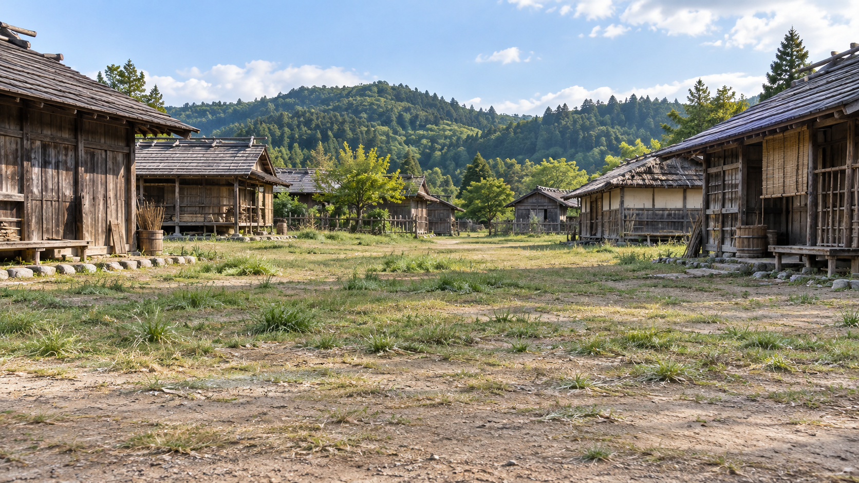
Scene 05
A wide strip intended to hold back fire
An open strip running east-west was established through the centre of the town as a firebreak. Its purpose was to create separation that could interrupt the spread of fire between built-up areas.
The Odori Park of today is a place for recreation and events. That present use should not be read as proof that the completed modern park already existed when the nineteenth-century firebreak was laid out.
The same place can have different purposes across time. A green band seen by a present-day pedestrian leads back to a planning decision about the space between buildings.
This gives the open ground a history of its own. Urban development was not exclusively the addition of structures. Reasons for keeping an area free of them also reveal how the authorities thought about the city's operation and safety.
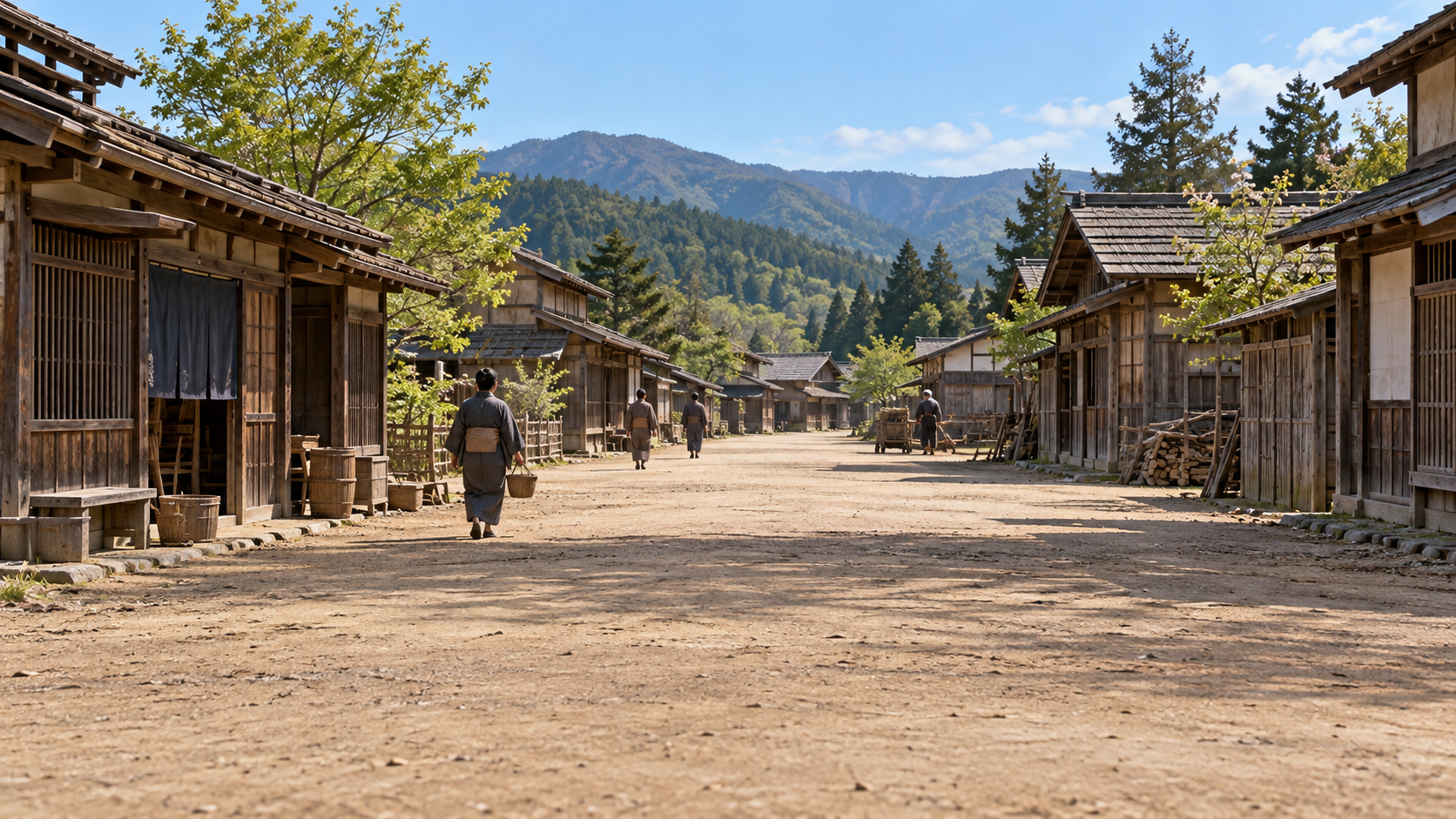
Scene 06
North and south of the firebreak
Land north of the firebreak was designated for government use, while the south was designated for civilian use. The division distinguished the area for offices and related purposes from that for residences and commerce.
A road or open strip could consequently act as a line separating uses of land as well as a route connecting places. That function remains part of reading the plan.
The division does not describe every household or establish the daily experience of all residents. What work people sought, what burdens they faced and how particular plots were used require further evidence beyond the broad allocation of land.
The order shown in a plan and the lived conditions inside its lines are different kinds of information. The distance between them matters when considering what the grid can tell us, and what it leaves unrecorded.
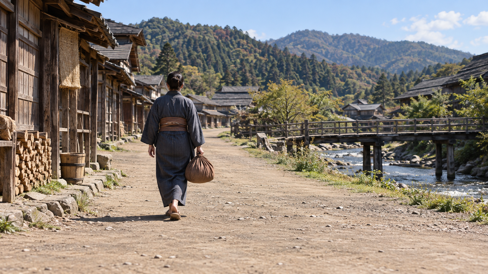
Scene 07
Migration, learning and industry
Alongside street planning came migration and industrial enterprises. The Higashi Ward chronology records migration from Sakata and Kashiwazaki prefectures in 1870. The place names identify the administrative units described in the source, without adding individual motives for moving.
The Hokkaido chronology and Hokkaido University's account place Horace Capron's invitation in 1871, Edwin Dun's arrival in Japan in 1873, and the agricultural school's opening and brewing enterprise in 1876.
Roads and offices alone could not sustain a city's activities. People working, places for learning and enterprises applying new techniques also formed part of the growing urban setting.
Introducing a technology and improving every person's life are not equivalent claims. A record of industrial development does not by itself tell us who benefited, who carried burdens or how each household's circumstances changed. Those questions remain open to evidence of their own.
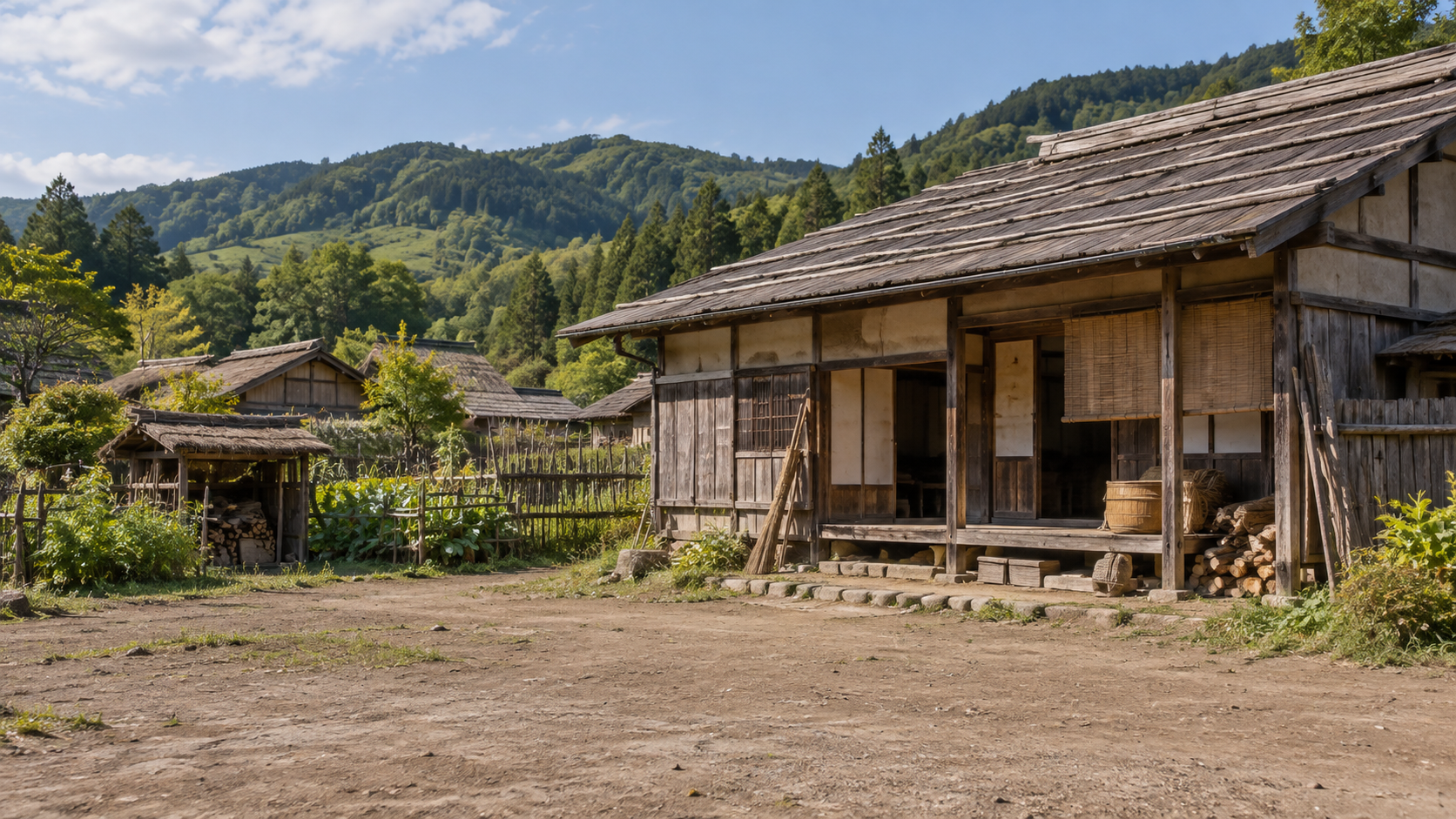
Scene 08
Soldier-settlers outside the central grid
The formation of Sapporo also extended beyond its central blocks. Ebetsu City's chronology of the tondenhei, the soldier-settlers associated with settlement and defence, records regulations in 1874 and their arrival in Kotoni in 1875.
The later regulations of 1885 belong to another stage. Keeping the dates separate prevents institutions that developed over time from becoming a single event at the city's foundation.
The surviving soldier-settler house site in Kotoni offers a way to consider a domestic setting behind the institutional name. Families' places of residence belong to the history of the settlements as well as their official purpose.
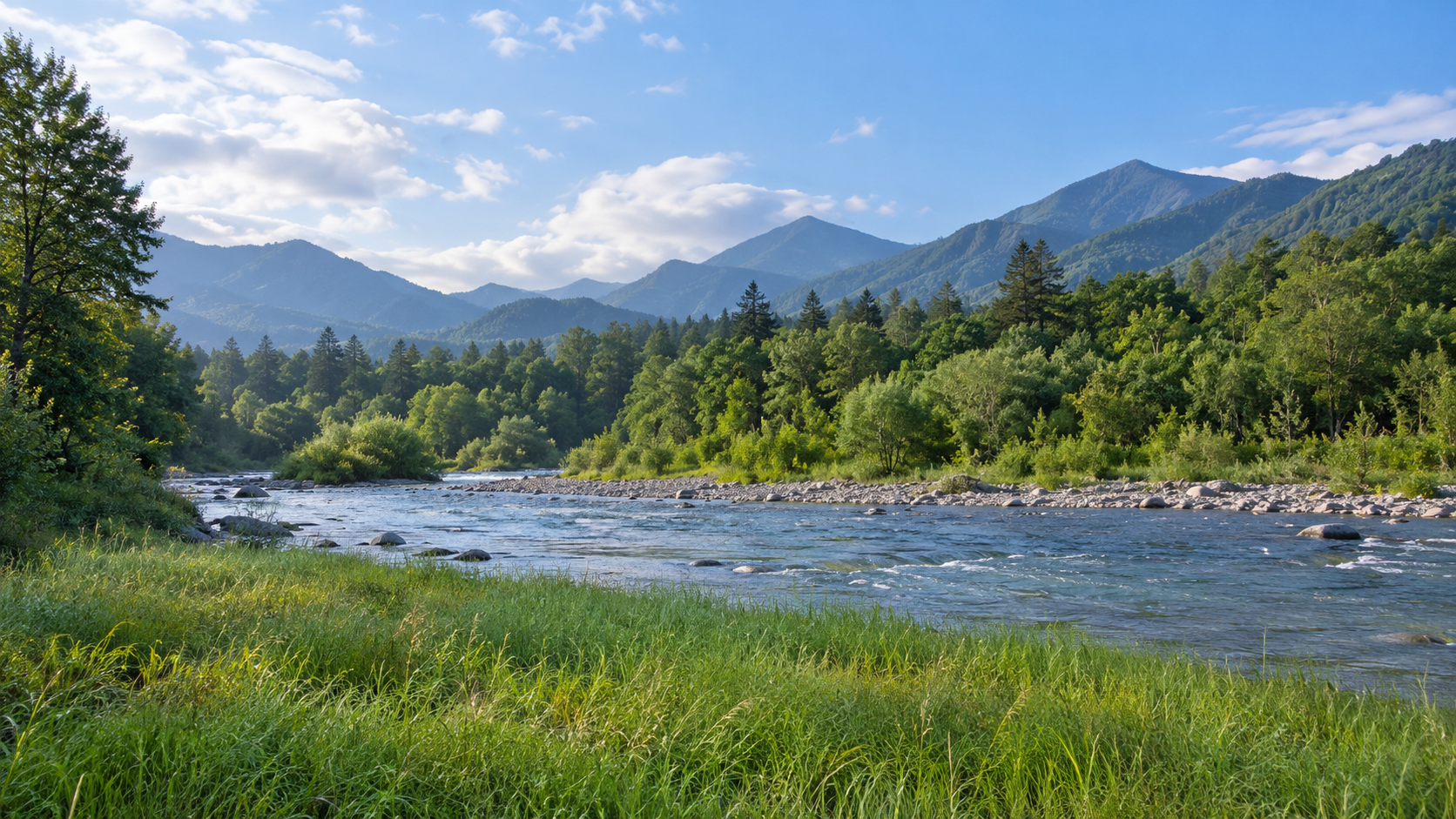
One surviving house cannot establish identical living conditions across every settlement. Distinguishing the planned centre from surrounding communities broadens the geographical view while preserving that limit. The generated house is a conceptual image, not a photograph of the surviving property.
Scene 09
Land policies and the lives they changed
The account cannot end with land becoming newly available for development. Upopoy's official explanation, including the National Ainu Museum's historical material, describes forced relocation associated with town construction by Wajin in Hokkaido and the substantial effects of assimilation policies on Ainu lives.
Land use, livelihoods and the continuation of customs were matters affecting people's everyday existence. Urban growth and administrative changes therefore need to be read alongside the effects on people already living in Hokkaido.
A broad explanation of Hokkaido's history does not document a particular Sapporo family's experience. This article does not invent a household, a relocation journey or a conversation to stand for that wider history.
The questions nevertheless belong in the story of the city: development for whom, and with what consequences for earlier ways of life? Keeping them visible avoids treating orderly streets as a complete account of what changing land policies meant.

Scene 10
What an old map records
Early maps of Sapporo also need careful reading. The library introduces a map bearing the first year of Meiji in its title, but identifies the surviving copy as made in 1875. The title's date and the making of the copy are different pieces of information.
The library's explanation of another map, associated with Meiji 3, states that east is at the top. Orientation must be checked before comparing an old image with the north-up convention familiar from many present maps.
A represented time, a date of drawing or copying, and the direction in which a map is arranged each matter. This article follows the library's descriptions rather than claiming a new detailed inspection of the original maps.
A map's plotted streets do not contain every experience of the land. An area left blank on paper is not proof that no one lived there. Maps are valuable evidence when their scope and omissions remain part of their interpretation.
Scene 11
Culture continuing into the present
Ainu people should not be confined to the past in an account of this history. Upopoy's explanation discusses people who acted after the war to protest discrimination and improve living conditions.
It also introduces continuing culture and efforts to transmit it. These activities carry the narrative beyond policies and losses into the work and choices of people living in later periods and today.
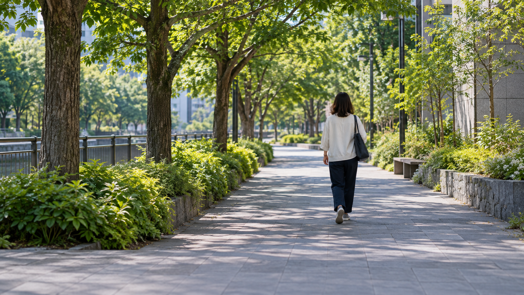
Culture cannot be reduced to a single costume or an old form of dwelling. The article's anonymous contemporary figure is not assigned an ethnicity on the basis of appearance, and the image does not claim to document a particular participant in cultural activity.
The effects of policy and people's sustained action both deserve a place. Retaining the latter keeps the history from closing with what was harmed or lost. It also changes how a present-day city can be understood as a place within continuing histories.
Scene 12
Histories beneath the grid
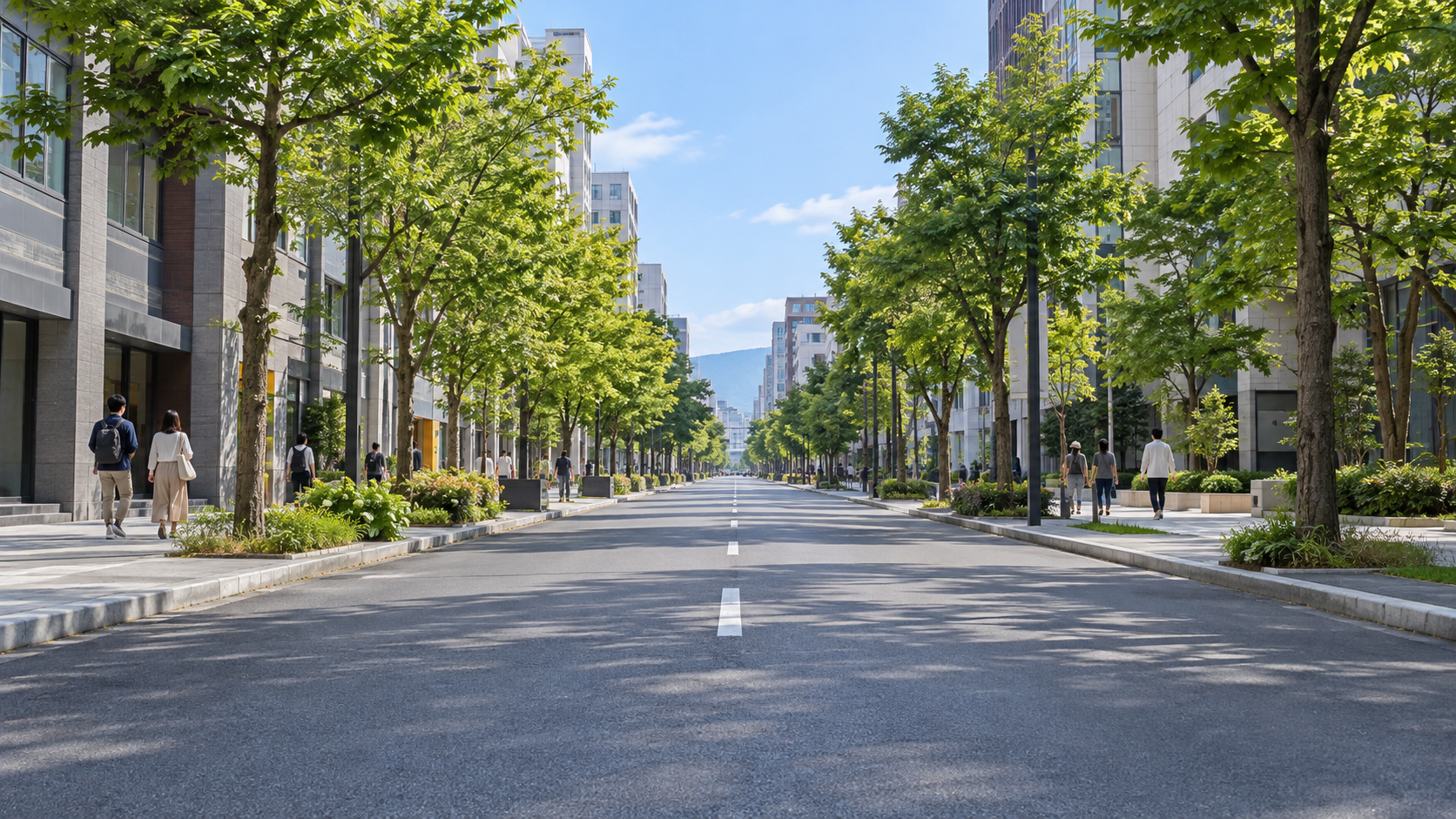
Sapporo's grid records layers of work: laying out streets, establishing offices and creating places for migration and industry. The firebreak at Odori and the earlier waterway reveal different practical concerns within that formation.
Knowing those origins can enrich a walk through the city. At the same time, the well-ordered streets belong to a history in which policies changing the use of land had profound consequences for Indigenous people.
Construction achievements alone do not make a complete picture. Nor should the account stop with harm while leaving out the continuing activities of Ainu people. Different experiences remain part of the same broader history.
Distinguishing dates, buildings and kinds of source helps keep those experiences visible. Beyond the lines of the planning map are lives that the map cannot fully contain. That is the perspective this article brings to the familiar image of the grid.
How to read this work
History, interpretation, and reconstruction
Sapporo's planned streets are best understood together with the earlier use of the land, the stages of construction and the people whose lives were affected by changing policies.
This work is grounded in published sources and historical research. Interior thoughts, dialogue, and some visual details are cinematic reconstructions. Where historians disagree, the article presents the point as debated rather than settled fact.
Timeline
The story in time
-
The Kaitakushi is established and construction of the Sapporo headquarters begins.
Sources: s02 -
The Kaitakushi's Sapporo main headquarters building is completed.
Sources: s10 -
Tondenhei regulations are established, followed the next year by settlement at Kotoni.
Sources: s09 -
The Sapporo Agricultural School opens and the brewing enterprise begins operation.
Sources: a02 -
Later tondenhei regulations are established, distinct from those of 1874.
Sources: s09 -
The former red-brick Hokkaido Government Office is founded.
Sources: s11
People & terms
A guide for new readers
Glossary
- Kaitakushi 開拓使
- The Meiji government commission associated here with the administration, development and settlement of Hokkaido.
- Otomo-bori 大友堀
- The waterway excavated in 1866, connected historically with the present Sosei River.
- Firebreak 火防線
- Open space intended to interrupt the spread of fire between built-up areas.
- Government land 官地
- The designation given here to land north of the early central firebreak.
- Civilian land 民地
- The contrasting designation for the area south of the firebreak in the planning account.
- Tondenhei 屯田兵
- Soldier-settlers associated with settlement and defence; the 1874 and 1885 regulations are distinguished.
- Ainu アイヌ
- Indigenous people whose history and continuing cultural activity form an essential part of this account.
- Wajin 和人
- The historical term used in the source to distinguish the Japanese population from Ainu people.
- Assimilation policy 同化政策
- Policies affecting Ainu lives and cultural practices discussed in Upopoy's historical explanation.
Sources & method
How this article was built
The English edition follows every scene, timeline entry and source identifier of the Japanese article. Source titles are editorial translations. Municipal pages from different wards and the library are conservatively identified under their common publisher, Sapporo City.
The dates of organization, temporary accommodation and later headquarters buildings remain separate. Historical map descriptions are distinguished from direct examination of fine-detail originals. The unavailable older planning PDF is not used as a newly verified source; the account follows the institutional Ainu-history explanation recorded by the Japanese research.
Images are conceptual and are not evidence of an empty or uninhabited landscape. Modern anonymous figures do not identify a specific Ainu person. The account retains the effects of policy and continuing cultural activity without inventing a family narrative, quoted speech or individual motives.
Sources
References and further reading
- Profile of Chuo Ward 中央区のプロフィール Title translated editorially for reader convenience. Sapporo City 札幌市中央区 Used for the 1871 blocks, streets, firebreak and division between government and civilian land. The present municipality is not treated as completed at once. Accessed 2026-10-27
- Chronology of Chuo Ward 中央区年表 Title translated editorially for reader convenience. Sapporo City 札幌市中央区 Used for the 1866 waterway, the beginning of headquarters construction in 1869 and the temporary office in 1871. Organization and building completion remain distinct. Accessed 2026-10-27
- Historical chronology of Higashi Ward 東区歴史年表 Title translated editorially for reader convenience. Sapporo City 札幌市東区 Used for the waterway, migration from Sakata and Kashiwazaki in 1870 and the brewing enterprise. No individual migration motives are invented. Accessed 2026-10-27
- Sapporo in its early period 草創期の札幌 Title translated editorially for reader convenience. Sapporo City 札幌市中央図書館 The library's descriptions identify a copy made in 1875 and the orientation of another map. A detailed inspection or reproduction of the original maps is not claimed. Accessed 2026-10-27
- Frequently asked questions: Ainu history and culture よくある質問・アイヌの歴史と文化の基礎知識 Title translated editorially for reader convenience. Upopoy / National Ainu Museum 国立アイヌ民族博物館/ウポポイ公式 Used for Indigenous history, assimilation policies and continuing cultural activity. Broad Hokkaido history is not transformed into an invented Sapporo family's experience or a claim that all use of the Ainu language was legally prohibited. Accessed 2026-10-27
- Ebetsu's tondenhei: chronology 江別の屯田兵 6.屯田兵年譜 Title translated editorially for reader convenience. Ebetsu City Board of Education 江別市教育委員会 Used for regulations in 1874, settlement at Kotoni in 1875 and later regulations in 1885. This is not a new reading of the original regulatory texts. Accessed 2026-10-27
- Location of the Kaitakushi Sapporo headquarters building 開拓使札幌本庁本庁舎の位置 Title translated editorially for reader convenience. Hokkaido Government 北海道・赤れんが庁舎展示ガイド The exhibition explanation dates completion to October 1873, separate from the 1869 beginning and the 1871 temporary office. Accessed 2026-10-27
- The former Hokkaido Government Office 北海道庁旧本庁舎 Title translated editorially for reader convenience. Hokkaido Government 北海道・赤れんが庁舎展示ガイド The exhibition explanation dates the red-brick building to 1888. Its present appearance is not used as a view of the headquarters of 1869 or 1873. Accessed 2026-10-27
- Hokkaido Data Book 2026: historical chronology 北海道データブック2026・あゆみ Title translated editorially for reader convenience. Hokkaido Government 北海道 Used for Capron's invitation in 1871 and the agricultural school and brewing enterprise in 1876. No independent numerical results or causal claims are added. Accessed 2026-10-27
- Edwin Dun and Dr Clark #141 エドウィン・ダンとクラーク博士 Title translated editorially for reader convenience. Hokkaido University 北海道大学 Used for Dun's arrival in Japan in 1873 and transfer to Sapporo in 1876. Original letters mentioned by the article are not claimed as newly read. Accessed 2026-10-27
- Kotoni soldier-settler house site: cultural property database 琴似屯田兵村兵屋跡・札幌市文化財データベース Title translated editorially for reader convenience. Sapporo City 札幌市文化財DB Used for the municipal explanation of the house site. No photograph is reproduced, and one dwelling is not treated as representative of every settlement. Accessed 2026-10-27
Continue reading
More stories from Shigeki
Shigeki English
The Second Choshu Expedition: Four Fronts and a Negotiated Withdrawal
Read weapons together with terrain, training, command and support.
- When 1866, distinct from the first expedition in 1864; the process of ending extended into January 1867
- Where Oshima, the Aki border, Iwami and the Kanmon Strait facing Kokura
Shigeki English
Hasedo: Why Fighting Continued after Sekigahara
Separate the siege, the arrival of news, and withdrawal under pursuit.
- When 1600; month and day references use the calendar of the time
- Where Hasedo and Yamagata in Dewa, connected with Aizu and distant Sekigahara